
Valkenburg in Valkenburg aan de Geul, Limburg, Netherlands — Northwestern Europe
Middeleeuwse Walmuur
⎯⎯⎯
Medieval City Wall

Photographed by Andrew Ruppenstein, May 28, 2024
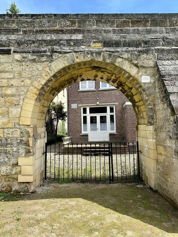
1. Middeleeuwse Walmuur / Medieval City Wall Marker

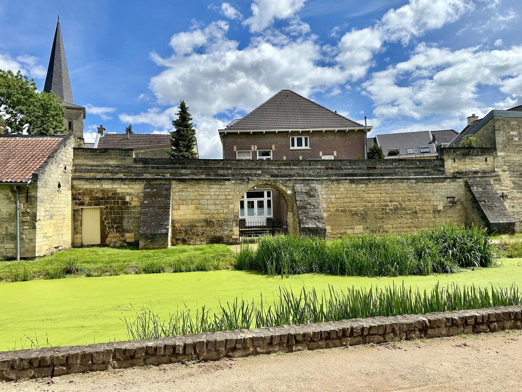
Medieval rampart wall with two towers from the late 13th and 14th centuries. When the fortress was destroyed in 1672, this part was spared. The "Drenck” Gate was also located here, serving to lead cattle to the Geul River.
Erected 1991 by The VVV.
Topics. This historical marker is listed in this topic list: Forts and Castles. A significant historical year for this entry is 1672.
Location. 50° 51.846′ N, 5° 49.836′ E. Marker is in Valkenburg, Limburg, in Valkenburg aan de Geul. It can be reached from Wilelminalaan, on the right when traveling north. Touch for map. Marker is at or near this postal address: Kerkstraat 21, Valkenburg, Limburg 6301 BX, Netherlands. Touch for directions.

Regionally, it is in Europe, the European Union, Atlantic Europe, the Benelux Low Countries, the Schengen Area, Western Europe, and the Western World. Historically, it finds itself in what was once the Roman Empire and specifically also the Holy Roman Empire.
Other nearby markers. At least 8 other markers are within walking distance of this marker: Oude pastorie / Former Parsonage
this page online
Also see . . . Vestingwerken van Valkenburg (Wikipedia, in Dutch).
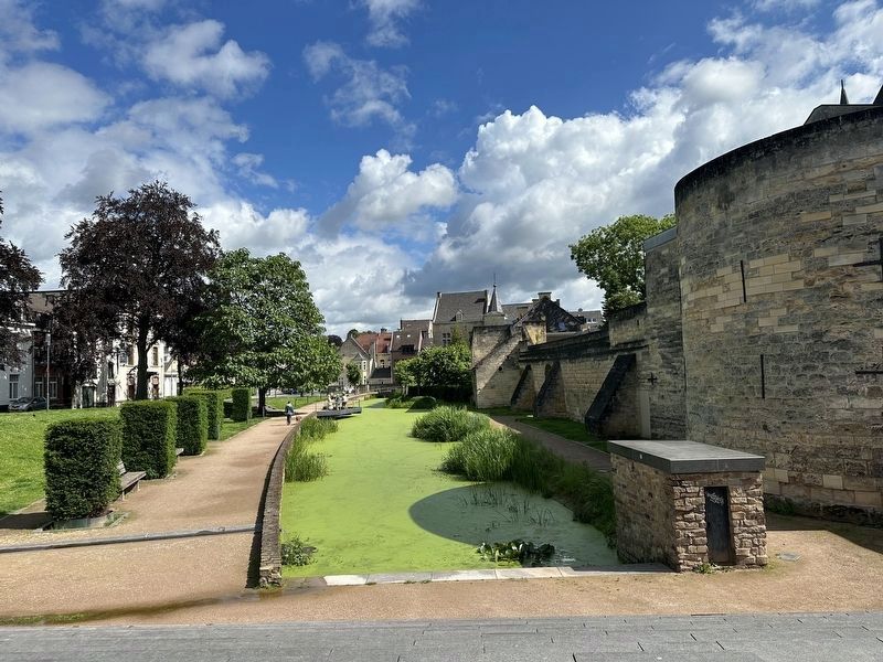
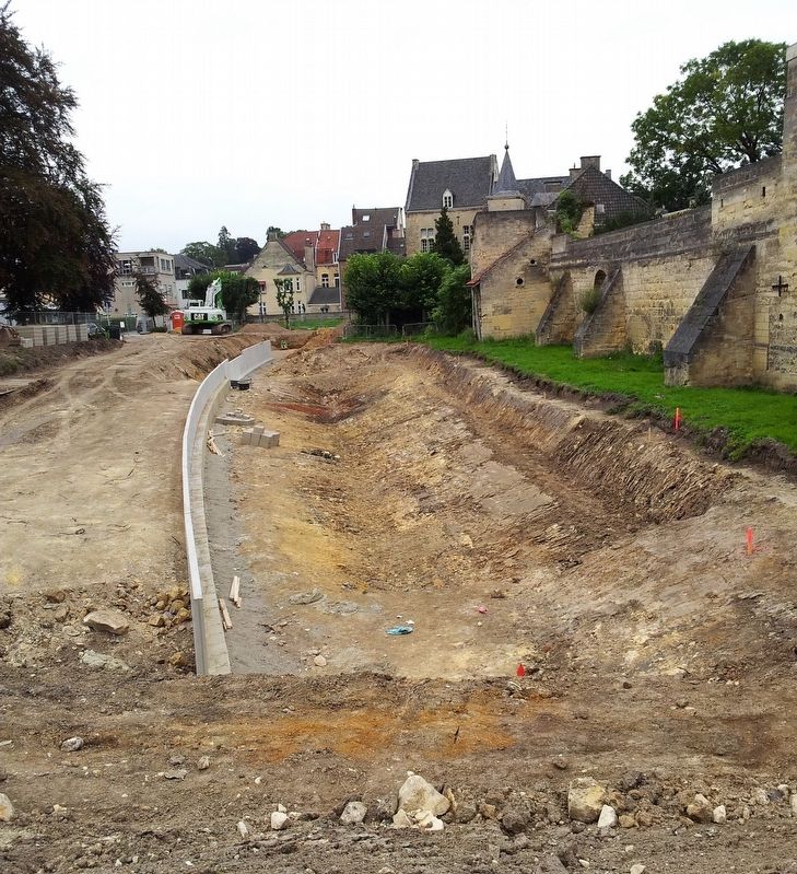
On the wall ( in translation): The city wall connected the castle and the two strongholds of the Valkenburg fortress. With the exception of the southern point (the high castle), the fortress was surrounded by a moat. On the north side, the Geul river formed a natural canal. The disappeared city moat near the preserved western city wall was re-excavated in 2014. Parts of the adjacent city wall have been rebuilt on either side of the reconstructed Geulpoort. There are also plans to rebuild parts of the city wall at the Berkelpoort and Walramplein.(Submitted on June 18, 2024.)
Photographed by Andrew Ruppenstein, May 28, 2024
2. Middeleeuwse Walmuur / Medieval City Wall Marker - wide view
Photographed by Andrew Ruppenstein, May 28, 2024
3. Middeleeuwse Walmuur / Medieval City Wall Marker - wider view
Photographed by Andrew Ruppenstein, May 28, 2024
4. Looking north along the wall
Note the “moat” was excavated and filled with water in 2014, per Wikipedia. See following photo.
Photographed by Kleon3 (via Wikimedia Commons under CC 4.0 license), September 10, 2014
5. Middeleeuwse Walmuur / Medieval City Wall
Construction works aiming to restore the former moat near the remaining section of the medieval city wall of Valkenburg.
Credits. This page was last revised on June 18, 2024. It was originally submitted on June 18, 2024, by Andrew Ruppenstein of Lamorinda, California. This page has been viewed 121 times since then and 14 times this year. Photos: 1, 2, 3, 4, 5. submitted on June 18, 2024, by Andrew Ruppenstein of Lamorinda, California.
