Valkenburg in Valkenburg aan de Geul, Limburg, Netherlands — Northwestern Europe
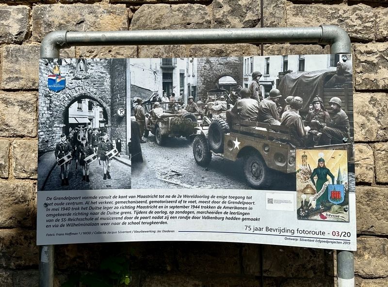
Grendelpoort - Tweede Wereldoorlog
⎯⎯⎯
Grendel Gate - WW II
| — | 75 jaar Bevrijding fotoroute | — |
Photographed by Andrew Ruppenstein, May 28, 2024
1. Grendelpoort - Tweede Wereldoorlog / Grendel Gate - WW II Marker

The Grendelpoort was the only access to the old center from Maastricht until after the Second World War. All traffic, mechanized, motorized or on foot, had to pass through the Grendelpoort. In May 1940 the German army moved towards Maastricht and in September 1944 the Americans moved in the opposite direction to the German border. During the war, on Sundays, the students of the SS Reichsschule marched through the gate making music after they had made a tour through Valkenburg and returned to the school via Wilhelminalaan.
Erected 2019.
this page online
Topics and series. This historical marker is listed in these topic lists: Forts and Castles • War, World II. In addition, it is included in the Valkenburg Bevrijding/Liberation Route series list. A significant historical month for this entry is September 1944.
Location. 50° 51.785′ N, 5° 49.819′ E. Marker is in Valkenburg, Limburg, in Valkenburg aan de Geul. It is at the intersection of Kerkstraat and Muntstraat, on the left when traveling north on Kerkstraat. Touch for map. Marker is in this post office area: Valkenburg, Limburg 6301 BW, Netherlands. Touch for directions.

Regionally, it is in Europe, the European Union, Atlantic Europe, the Benelux Low Countries, the Schengen Area, Western Europe, and the Western World. Historically, it finds itself in what was once the Roman Empire and specifically also the Holy Roman Empire.
Other nearby markers. At least 8 other markers are within walking distance of this marker: Grendelpoort (city gate) (here, next to this marker); Grendelpoort / Grendel Gate (here, next to this marker); Kapsporen/ Cut Marks / Schlagspuren (within shouting distance of this marker);
Photographed by Andrew Ruppenstein, May 28, 2024
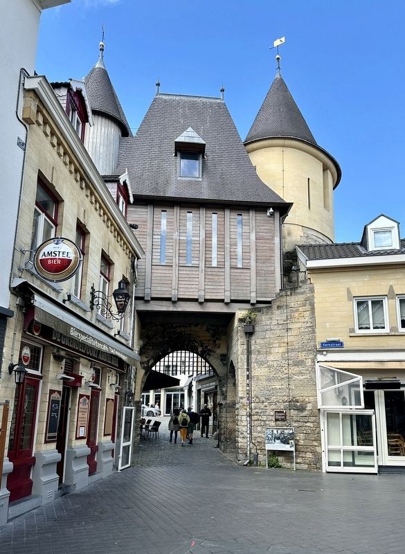
2. Grendel Gate and Marker
Credits. This page was last revised on June 19, 2024. It was originally submitted on June 19, 2024, by Andrew Ruppenstein of Lamorinda, California. This page has been viewed 188 times since then and 18 times this year. Photos: 1, 2. submitted on June 19, 2024, by Andrew Ruppenstein of Lamorinda, California.
