William Penn Annex East in Philadelphia in Philadelphia County, Pennsylvania — The American Northeast (Mid-Atlantic)
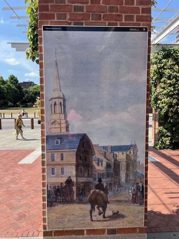
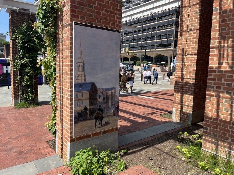
Second Street, North of Market Street with Christ Church.
Independence National Historical Park
| — | National Park Service, U.S. Department of the Interior | — |
Photographed by Devry Becker Jones (CC0), June 19, 2024
1. Second Street, North of Market Street with Christ Church. Marker
Second Street, North of Market Street with Christ Church.
Slave auctions took place a block away at the London Coffee House at Front and Market Street in the 18th century.
Drawn, engraved & published by William Birch & Son, 1799
Independence National Historical Park
Erected by National Park Service, U.S. Department of the Interior.
Topics. This historical marker is listed in these topic lists: African Americans • Industry & Commerce • Notable Places. A significant historical year for this entry is 1799.
Location. 39° 57.056′ N, 75° 8.994′ W. Marker is in Philadelphia, Pennsylvania, in Philadelphia County. It is in William Penn Annex East. It can be reached from Market Street (County Road 2004) east of North 6th Street (County Road 2005), on the left when traveling east. Touch for map. Marker is at or near this postal address: 523 Market St, Philadelphia PA 19106, United States of America. Touch for directions.

Regionally, this marker is in Southeast Pennsylvania. It is also in the American Northeast and in the Mid-Atlantic. Globally, it is in North America, the Western Hemisphere, the Western World,
this page online
Other nearby markers. At least 8 other markers are within walking distance of this marker: The Names of the People Who Lived on This Block (a few steps from this marker); Indelible (a few steps from this marker); a different marker also named Indelible (within shouting distance of this marker); Preserving America's Treasures (within shouting distance of this marker); The Executive Branch (within shouting distance of this marker); Abigail Adams (within shouting distance of this marker); Celebrating Independence Throughout the Years (within shouting distance of this marker); History Underground (within shouting distance of this marker). Touch for a list and map of all markers in Philadelphia.
Other markers no longer nearby. Promoting the Abolition of Slavery (was within shouting distance of this marker but has been replaced with another marker now near it); Death Carts (was within shouting distance of this marker but has been replaced with another marker
Photographed by Devry Becker Jones (CC0), June 19, 2024
2. Second Street, North of Market Street with Christ Church. Marker
Additional keywords. human trafficking
Credits. This page was last revised on June 20, 2024. It was originally submitted on June 20, 2024, by Devry Becker Jones of Washington, District of Columbia. This page has been viewed 248 times since then and 31 times this year. Photos: 1, 2. submitted on June 20, 2024, by Devry Becker Jones of Washington, District of Columbia.
