
Greenwich Island in Philadelphia in Philadelphia County, Pennsylvania — The American Northeast (Mid-Atlantic)
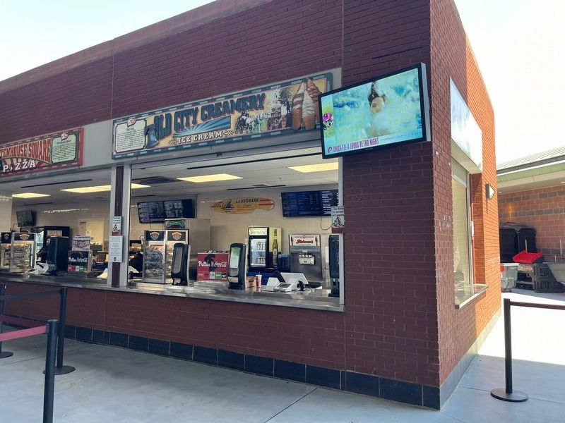
Old City
Phillies
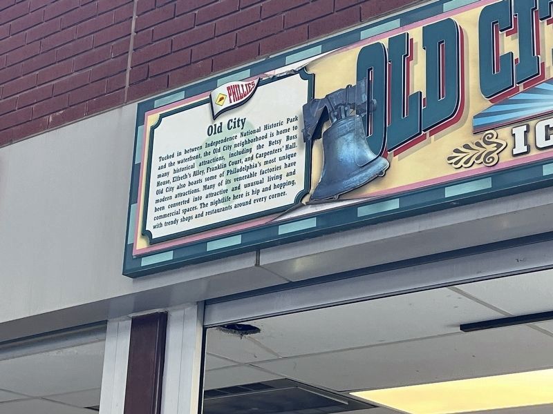
Erected by Philadelphia Phillies Baseball Club.
Topics. This historical marker is listed in these topic lists: Notable Buildings • Notable Places.
Location. 39° 54.372′ N, 75° 9.915′ W. Marker is in Philadelphia, Pennsylvania, in Philadelphia County. It is on Greenwich Island. It can be reached from Citizens Bank Way / South 11th Street south of Hartranft Street, on the right when traveling north. Touch for map. Marker is at or near this postal address: 1 Citizens Bank Way, Philadelphia PA 19148, United States of America. Touch for directions.

Regionally, this
this page online
Other nearby markers. At least 8 other markers are within walking distance of this marker: South Philly Italian Market (a few steps from this marker); a different marker also named South Philly Italian Market (a few steps from this marker); Mayfair (within shouting distance of this marker); Hatfield Quality Meats (within shouting distance of this marker); Franklin Square (within shouting distance of this marker); a different marker also named South Philly Italian Market (within shouting distance of this marker); a different marker also named Old City (within shouting distance of this marker); Campo's Story (about 300 feet away, measured in a direct line). Touch for a list and map of all markers in Philadelphia.
Photographed by Devry Becker Jones (CC0), June 19, 2024
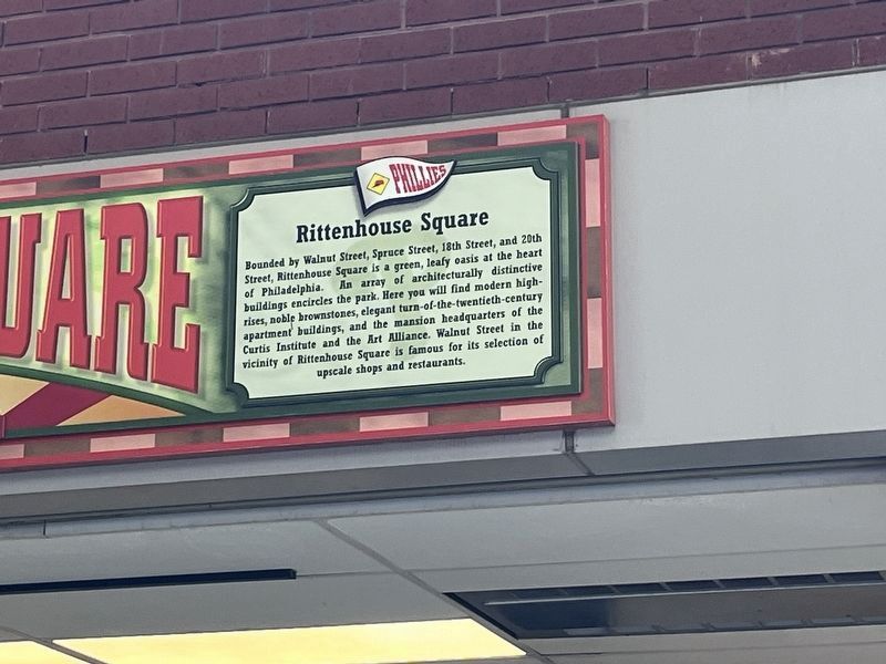
3. Nearby signage for Rittenhouse Square
This nearby signage features no historical information but is similar to other signs in the stadium:
Phillies Bounded by Walnut Street, Spruce Street, 18th Street, and 20th Street, Rittenhouse Square is a green, leafy oasis at the heart of Philadelphia. An array of architecturally distinctive buildings encircles the park. Here you will find modern high-rises, noble brownstones, elegant turn-of-the-twentieth-century apartment buildings, and the mansion headquarters of the Curtis Institute and the Art Alliance. Walnut Street in the vicinity of Rittenhouse Square is famous for its selection of upscale shops and restaurants.
Rittenhouse Square
Credits. This page was last revised on June 22, 2024. It was originally submitted on June 22, 2024, by Devry Becker Jones of Washington, District of Columbia. This page has been viewed 121 times since then and 11 times this year. Photos: 1, 2, 3. submitted on June 22, 2024, by Devry Becker Jones of Washington, District of Columbia.
