Sandy in Salt Lake County, Utah — The American Mountains (Southwest)
Half-Way House
Photographed by Jeremy Snow, June 23, 2024
1. Half-Way House Marker
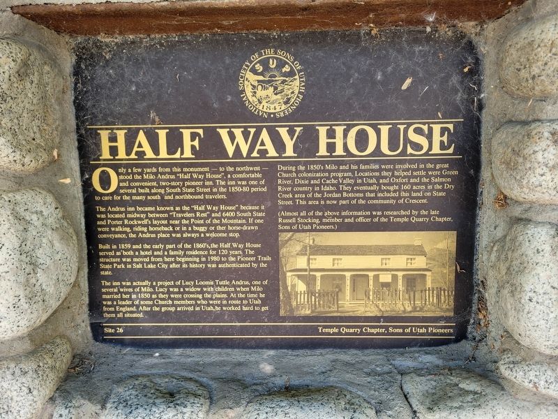
Only a few yards from this monument - to the northwest - stood the Milo Andrus "Half Way House", a comfortable and convenient, two-story pioneer inn. The inn was one of several built along South State Street in the 1850-80 period to care for the many south and northbound travelers.
The Andrus inn became known as the "Half Way House" because it was located midway between "Travelers Rest" and 6400 South State and Porter Rockwell's layout near the Point of the Mountain. If one were walking, riding horseback or in a buggy or ther horse-drawn conveyance, the Andrus place was always a welcome stop.
Built in 1859 and the early part of the 1860's, the Half Way House served as both a hotel and a family residence for 120 years. The structure was moved from here beginning in 1980 to the Pioneer Trails State Park in Salt Lake City after its history was authenticated by the state.
The inn was actually a project of Lucy Loomis Tuttle Andrus, one of several wives of Milo. Lucy was a widow with children when Milo married her in 1850 as they were crossing the plains. At the time he was a leader of some Church members who were
this page online
During the 1850's Milo and his families were involved in the great Church colonization program. Locations they helped settle were Green River, Dixie and Cache Valley in Utah, and Oxfort and the Salmon River country in Idaho. They eventually bought 160 acres in the Dry Creek area of the Jordan Bottoms that included this land on State Street. This area is now part of the community of Crescent.
(Almost all of the above information was researched by the late Russell Stocking, member and officer of the Temple Quarry Chapter, Sons of Utah Pioneers.)
Erected by Sons of Utah Pioneers Temple Quarry Chapter. (Marker Number 26.)
Topics and series. This historical marker is listed in these topic lists: Industry & Commerce • Settlements & Settlers. In addition, it is included in the Sons of Utah Pioneers series list. A significant historical year for this entry is 1859.
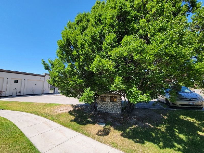
Location. 40° 33.799′ N, 111° 53.468′ W. Marker is in Sandy, Utah, in Salt Lake County. It is on State Street, on the right when traveling south. Touch for map.
Photographed by Jeremy Snow, June 23, 2024
2. Half-Way House Marker

Regionally, this marker is in the Wasatch Front and in Greater Salt Lake. It is also in the American Mountain West and on the Colorado Plateau. Globally, it is in North America, the Rocky Mountains, the Western Hemisphere, the Western World, and the Anglosphere. Historically, it finds itself in what was once New Spain and also Mexico’s Alta California.
Other nearby markers. At least 8 other markers are within 2 miles of this marker, measured as the crow flies: Neff's Station (here, next to this marker); South Jordan Settlement (approx. 1.6 miles away); South Jordan's Veteran's Memorial (approx. 1.6 miles away); South Jordan Cemetery (approx. 1.6 miles away); 1938 School Bus/Train Accident Memorial (approx. 1.6 miles away); Mingo Smelter (approx. 1.7 miles away); Sergeant Louis A. Slama Memorial (approx. 1.8 miles away); Granary & Hay Barn (approx. 1.9 miles away). Touch for a list and map of all markers in Sandy.
Credits. This page was last revised on June 25, 2024. It was originally submitted on June 24, 2024, by Jeremy Snow of Cedar City, Utah. This page has been viewed 387 times since then and 74 times this year. Photos: 1, 2. submitted on June 24, 2024, by Jeremy Snow of Cedar City, Utah. • Andrew Ruppenstein was the editor who published this page.
