Sandy in Salt Lake County, Utah — The American Mountains (Southwest)
Neff's Station
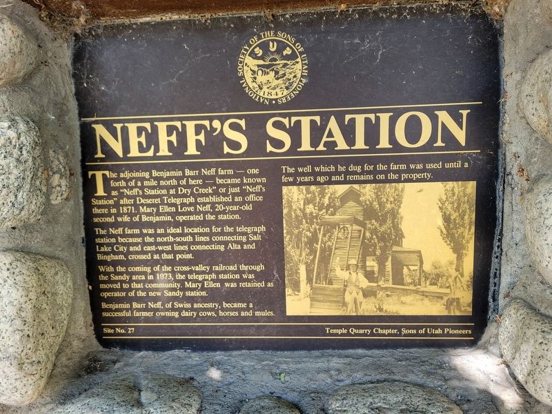
Photographed by Jeremy Snow, June 23, 2024
1. Neff's Station Marker
The adjoining Benjamin Barr Neff farm - one forth of a mile north of here - became known as "Neff's Station at Dry Creek" or just "Neff's Station" after Deseret Telegraph established an office there in 1871. Mary Ellen Love Neff, 20-year-old second wife of Benjamin, operated the station.
The Neff farm was an ideal location for the telegraph station because the north-south lines connecting Salt Lake City and east-west lines connecting Alta and Bingham, crossed at that point.
With the coming of the cross-valley railroad through the Sandy area in 1973, the telegraph station was moved to that community. Mary Ellen was retained as operator of the new Sandy station.
Benjamin Barr Neff, of Swiss ancestry, became a successful farmer owning dairy cows, horses and mules. The well which he dug for the farm was used until a few years ago and remains on the property.
Site No. 27 Temple Quarry Chapter, Sons of Utah Pioneers
Erected by Sons of Utah Pioneers. (Marker Number 27.)
Topics. This historical marker is listed in these topic lists: Communications • Settlements & Settlers. A significant historical year for this entry is 1871.
Location. 40° 33.799′ N,
this page online

Regionally, this marker is in the Wasatch Front and in Greater Salt Lake. It is also in the American Mountain West and on the Colorado Plateau. Globally, it is in North America, the Rocky Mountains, the Western Hemisphere, the Western World, and the Anglosphere. Historically, it finds itself in what was once New Spain and also Mexico’s Alta California.
Other nearby markers. At least 8 other markers are within 2 miles of this marker, measured as the crow flies: Half-Way House (here, next to this marker); South Jordan Settlement (approx. 1.6 miles away); South Jordan's Veteran's Memorial (approx. 1.6 miles away); South Jordan Cemetery (approx. 1.6 miles away); 1938 School Bus/Train Accident Memorial (approx. 1.6 miles away); Mingo Smelter (approx. 1.7 miles away); Sergeant Louis A. Slama Memorial (approx. 1.8 miles away); Granary & Hay Barn (approx. 1.9 miles away). Touch for a list and map
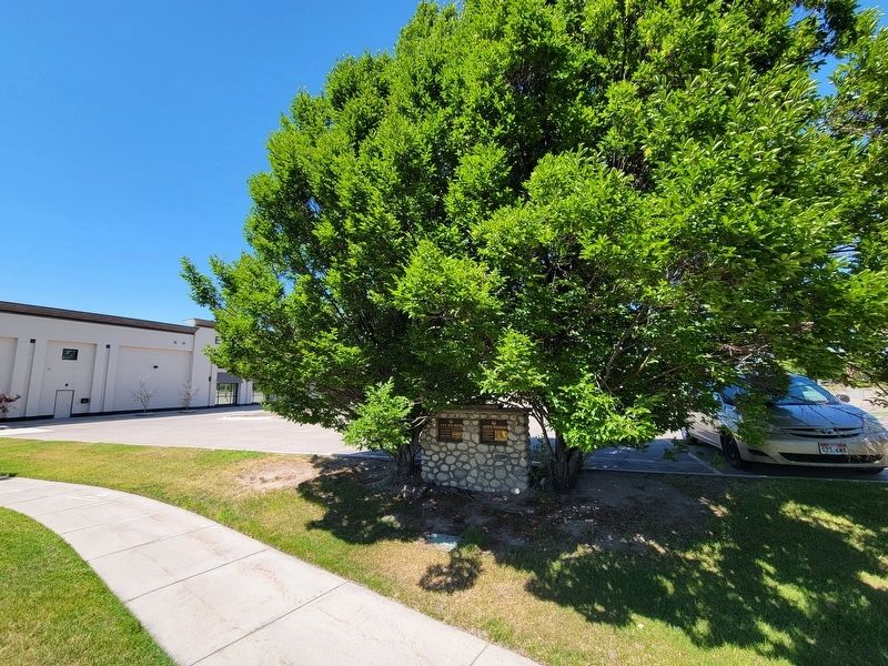
Photographed by Jeremy Snow, June 23, 2024
2. Neff's Station Marker
Credits. This page was last revised on July 6, 2024. It was originally submitted on June 24, 2024, by Jeremy Snow of Cedar City, Utah. This page has been viewed 451 times since then and 64 times this year. Photos: 1, 2. submitted on June 24, 2024, by Jeremy Snow of Cedar City, Utah. • J. Makali Bruton was the editor who published this page.
