
Columbia in Boone County, Missouri — The American Midwest (Upper Plains)
War Memorial
Photographed by Jason Voigt, June 25, 2024
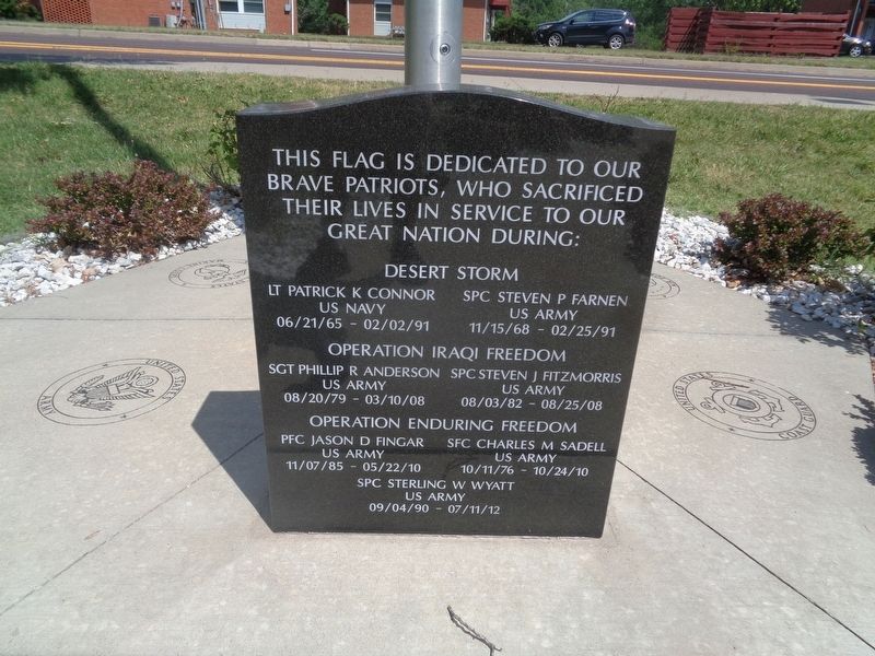
1. War Memorial Marker
Desert Storm
Lt Patrick K Connor
US Navy
06/21/65 - 02/02/91
Spc Steven P Farnen
US Army
11/15/68 - 02/25/91
Operation Iraqi Freedom
Sgt Phillip R Anderson
US Army
08/20/79 - 03/10/08
Spc Steven J. Fitzmorris
US Army
08/03/82 - 08/25/08
Operation Enduring Freedom
Pfc Jason D Fingar
US Army
11/07/85 - 05/22/10
Sfc Charles M Sadell
US Army
10/11/76 - 10/24/10
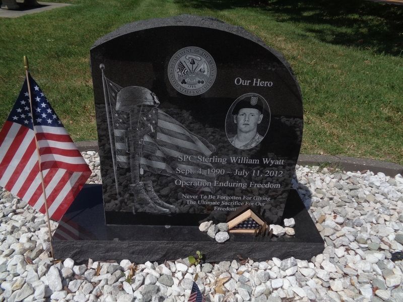
Spc Sterling W. Wyatt
US Army
09/04/90 - 07/11/12
Topics. This memorial is listed in these topic lists: War, 1st Iraq & Desert Storm • War, 2nd Iraq • War, Afghanistan.
Location. 38° 56.23′ N, 92° 18.442′ W. Memorial is in Columbia, Missouri, in Boone County. It is on Old U.S. 63 south of Shepard Boulevard, on the right when traveling south. Memorial is located at Sterling W. Wyatt Memorial Park (he is mentioned on it). Touch for map. Memorial is at or near this postal address: 1001 Old 63 S, Columbia MO 65201, United States of America. Touch for directions.

Regionally,
this page online
Other nearby markers. At least 8 other markers are within 2 miles of this marker, measured as the crow flies: Columbia (a few steps from this marker); Aureomycin Originated Here (approx. 0.9 miles away); Historic Sanborn Field (approx. 0.9 miles away); Sanborn Field and Soil Erosion Plot (approx. 0.9 miles away); The F.L. Duley - M.E. Miller Erosion Plots (approx. one mile away); Memorial Union Tower (approx. 1.1 miles away); Kuhlman Court (approx. 1.1 miles away); The Mel Carnahan Quadrangle (approx. 1.3 miles away). Touch for a list and map of all markers in Columbia.
Photographed by Jason Voigt, June 25, 2024
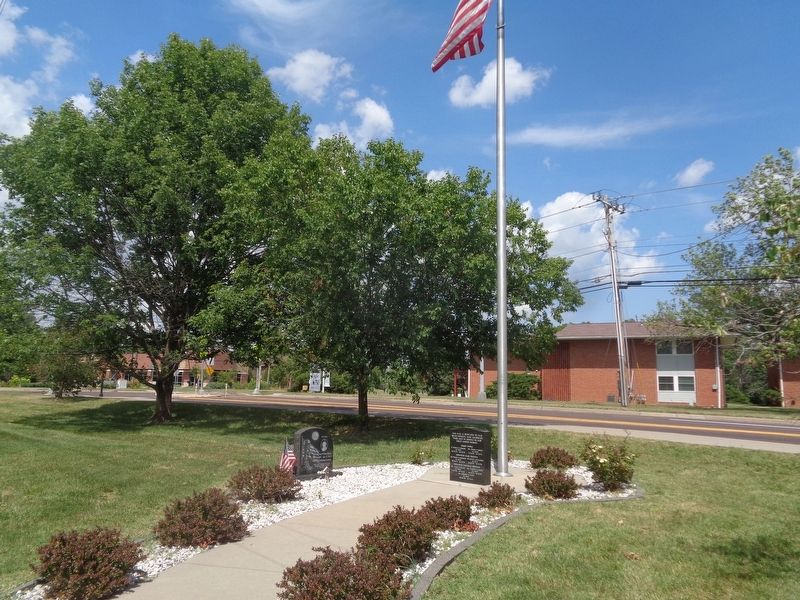
2. War Memorial
Located at Sterling W. Wyatt Memorial Park
Photographed by Jason Voigt, June 25, 2024
3. Sterling W. Wyatt Memorial
Credits. This page was last revised on June 25, 2024. It was originally submitted on June 25, 2024, by Jason Voigt of Glen Carbon, Illinois. This page has been viewed 183 times since then and 20 times this year. Photos: 1, 2, 3. submitted on June 25, 2024, by Jason Voigt of Glen Carbon, Illinois.
