
Walnut in Pickaway County, Ohio — The American Midwest (Great Lakes)
Blackburn
⎯⎯⎯
Wesner Bridge
Photographed by Craig Doda, May 18, 2020
1. Blackburn/Wesner Bridge Marker
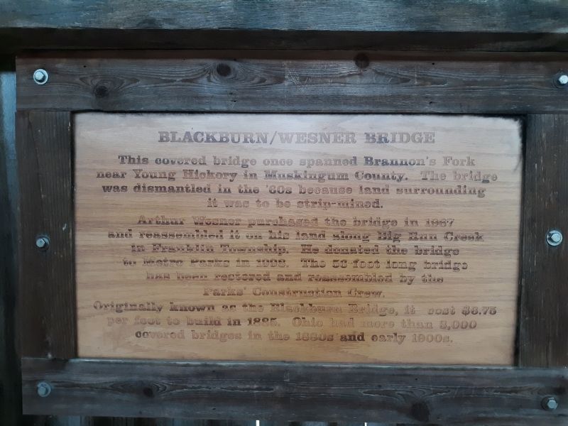
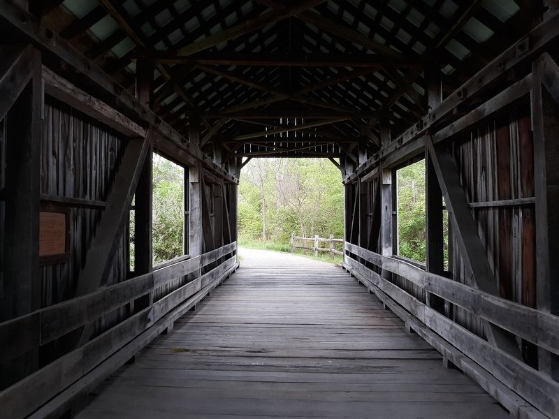
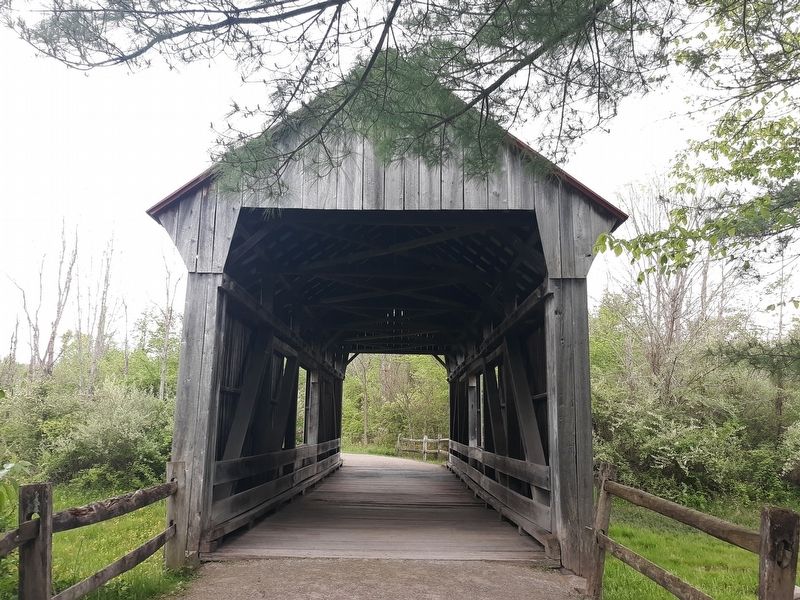
This covered bridge once spanned Brannon's Fork near Young Hickory in Muskingum County. The bridge was dismantled in the '60s because land surrounding it was to be strip-mined.
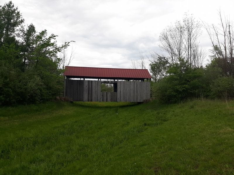
Arthur Wesner purchased the bridge in 1967 and reassembled it on his land along Big Run Creek in Franklin Township. He donated the bridge to Metro Parks in 1998. The 53-foot long bridge has been restored and reassembled by the Parks' Construction Crew.
Originally known as the Blackburn Bridge, it cost $6.75 per foot to build in 1895. Ohio had more than 3,000 Covered bridges in the 1880s and early 1900s.
Topics and series. This historical marker is listed in this topic list: Bridges & Viaducts. In addition, it is included in the Covered Bridges series list. A significant historical year for this entry is 1967.
Location. 39° 45.747′ N, 82° 50.873′ W. Marker is in Walnut, Ohio, in Pickaway County. It can be reached from Marcy Road (County Route 89) 0.4 miles west of Winchester Southern Road (Ohio Route 674), on the right when traveling west. Touch for map. Marker is at or near this postal address: 9094 Marcy Rd, Ashville OH 43103, United States
this page online

Regionally, this marker is in the Scioto Valley and in the Columbus Metropolitan Area. It is also in the American Midwest and in the Corn Belt. Globally, it is in North America, the Western Hemisphere, the Western World, and the Anglosphere. Historically, it finds itself in what was once the Haudenosaunee (Iroquois) Confederacy, the territory of the Mississippian Culture, and the Northwest Territory.
Other nearby markers. At least 8 other markers are within one mile of this marker, measured as the crow flies: A different marker also named Blackburn / Wesner Bridge (within shouting distance of this marker); Metro Parks and Living History (approx. 0.6 miles away); Compare 1880s Farm and Family Life With Yours (approx. 0.6 miles away); Community Ties (approx. 0.6 miles away); Changes for a Better Life (approx. 0.6 miles away); Timber Farming (approx. 0.6 miles away); Slate Run, Ohio & US Events (approx. 0.6 miles away); This Sandstone (approx. one mile away).
Photographed by Craig Doda, May 18, 2020
2. Blackburn/Wesner Bridge Marker
Photographed by Craig Doda, May 18, 2020
3. Blackburn/Wesner Bridge Marker
Photographed by Craig Doda, May 18, 2020
4. Blackburn/Wesner Bridge Marker
Credits. This page was last revised on June 26, 2024. It was originally submitted on February 1, 2021, by Craig Doda of Napoleon, Ohio. This page has been viewed 547 times since then and 33 times this year. Last updated on June 25, 2024, by Craig Doda of Napoleon, Ohio. Photos: 1, 2, 3, 4. submitted on February 1, 2021, by Craig Doda of Napoleon, Ohio. • Devry Becker Jones was the editor who published this page.
