Liberty Hill in Williamson County, Texas — The American South (West South Central)
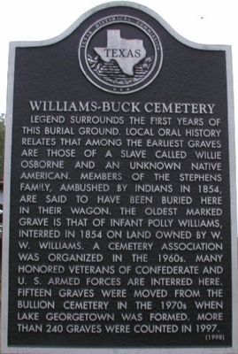
Williams-Buck Cemetery
Legend surrounds the first years of this burial ground. Local oral history relates that among the earliest graves are those of a slave called Willie Osborne and an unknown Native American. Members of the Stephens family, ambushed by Indians in 1854, are said to have been buried here in their wagon. The oldest marked grave is that of infant Polly Williams, interred in 1854 on land owned by W.W. Williams. A cemetery association was organized in the 1960s. Many honored veterans of Confederate and U.S. armed forces are interred here. Fifteen graves were moved from the Bullion Cemetery in the 1970s when Lake Georgetown was formed. More than 240 graves were counted in 1997.
Erected 1998 by Texas Historical Commission. (Marker Number 12310.)
Topics. This historical marker is listed in this topic list: Cemeteries & Burial Sites. A significant historical year for this entry is 1854.
Location. 30° 43.837′ N, 97° 54.619′ W. Marker is in Liberty Hill, Texas, in Williamson County. Marker can be reached from County Road 202. Touch for map. Marker is in this post office area: Liberty Hill TX 78642, United States of America. Touch for directions.
Other nearby markers. At least 8 other markers are within 5 miles of this marker, measured as the crow flies. Site of Loafer's Glory Apostolic Church (approx. one mile away); Site of Concord School (approx. 1.6 miles away); Connell Cemetery (approx. 2.2 miles away); Rock House Community (approx. 2.9 miles away); Bryson Stagecoach Stop (approx. 4.2 miles away); First Baptist Church of Liberty Hill (approx. 4.2 miles away); Liberty Hill Cemetery (approx. 4.2 miles away); William O. Spencer (approx. 4.3 miles away). Touch for a list and map of all markers in Liberty Hill.
Credits. This page was last revised on November 29, 2020. It was originally submitted on November 29, 2009, by Keith Peterson of Cedar Park, Texas. This page has been viewed 1,167 times since then and 44 times this year. Photos: 1. submitted on November 29, 2009, by Keith Peterson of Cedar Park, Texas. 2, 3. submitted on October 27, 2018, by Keith Peterson of Cedar Park, Texas. • Kevin W. was the editor who published this page.
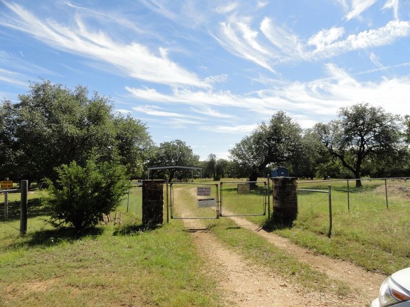
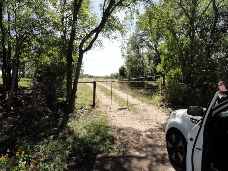
Editor’s want-list for this marker. Wide area picture of the marker and its surroundings. • Pictures of the cemetery. • Can you help?


