Minnieville in Prince William County, Virginia — The American South (Mid-Atlantic)
“Let There Be Lights”
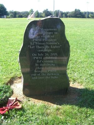
This Monument is a testimony to the vision of PWSI President Ed Foster-Simeon’s “Let There Be Lights” campaign.
On July 26, 2001, PWSI solidified Ed’s vision by dedicating these lights, bringing PWSI out of the darkness and into the light.
Erected 2001 by Prince William Soccer, Inc.
Topics. This historical marker is listed in these topic lists: Charity & Public Work • Sports. A significant historical month for this entry is July 1872.
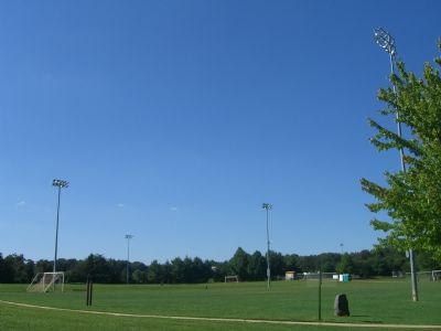
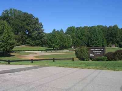
Location. 38° 38.026′ N, 77° 22.905′ W. Marker is in Minnieville, Virginia, in Prince William County. Marker is located near a sidewalk leading from the main Howison Homestead Park parking lot to the lighted soccer fields. Touch for map. Marker is at or near this postal address: 14716 Minnieville Road, Woodbridge VA 22193, United States of America. Touch for directions.
Other nearby markers. At least 8 other markers are within 2 miles of this marker, measured as the crow flies. Howison Homestead (within shouting distance of this marker); a different marker also named Howison Homestead (within shouting distance of this marker); Maddox Cemetery (approx. one mile away); Bel Air Plantation (approx. one mile away); Minnieville (approx. 1.6 miles away); Carey M. Perkinson (approx. 1.9 miles away); Greenwood Presbyterian Church and Cemetery (approx. 1.9 miles away); Montclair Veterans Flagpole (approx. 2 miles away). Touch for a list and map of all markers in Minnieville.
Credits. This page was last revised on October 7, 2023. It was originally submitted on September 13, 2007, by Kevin W. of Stafford, Virginia. This page has been viewed 1,854 times since then and 22 times this year. Last updated on October 3, 2023, by N. Jozsa of Woodbridge, Virginia. Photos: 1, 2, 3. submitted on September 13, 2007, by Kevin W. of Stafford, Virginia. • Bill Pfingsten was the editor who published this page.


