Columbia in Boone County, Missouri — The American Midwest (Upper Plains)
Sharp End
Photographed by Jason Voigt, June 25, 2024
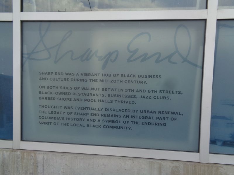
1. Sharp End Marker
On both sides of Walnut between 5th and 6th Streets, black-owned restaurants, businesses, jazz clubs, barber shops and pool halls thrived.
Though it was eventually displaced by urban renewal, the legacy of Sharp End remains an integral part of Columbia's history and a symbol of the enduring spirit of the local black community.
Topics. This historical marker is listed in these topic lists: African Americans • Industry & Commerce.
Location. 38° 57.15′ N, 92° 19.903′ W. Marker is in Columbia, Missouri, in Boone County. It is at the intersection of East Walnut Street and North 5th Street, on the right when traveling east on East Walnut Street. Touch for map. Marker is at or near this postal address: 500 E Walnut St, Columbia MO 65201, United States of America. Touch for directions.

Regionally, this marker is in Little Dixie and in the Missouri River Corridor. It is also in the American Midwest, in the Lewis & Clark Corridor, and in the Corn Belt. Globally, it is in North
this page online
Other nearby markers. At least 8 other markers are within walking distance of this marker: Tibbs Building (within shouting distance of this marker); African-American Heritage Trail (within shouting distance of this marker); a different marker also named Sharp End (within shouting distance of this marker); The John William "Blind" Boone Home and the Second Missionary Baptist Church (about 300 feet away, measured in a direct line); a different marker also named African-American Heritage Trail (about 400 feet away); Missouri, Kansas & Texas Railroad Depot (about 500 feet away); a different marker also named African-American Heritage Trail (about 600 feet away); Boone County Bicentennial Monument (about 700 feet away). Touch for a list and map of all markers in Columbia.

Photographed by Jason Voigt, June 25, 2024
2. Sharp End Marker
Marker is etched outside a parking garage and a couple small businesses.
Credits. This page was last revised on June 27, 2024. It was originally submitted on June 27, 2024, by Jason Voigt of Glen Carbon, Illinois. This page has been viewed 230 times since then and 52 times this year. Photos: 1, 2. submitted on June 27, 2024, by Jason Voigt of Glen Carbon, Illinois.
