
Near Torrent Bay in Tasman District, Tasman, New Zealand — Southwestern Pacific Ocean
Dumont d'Urville
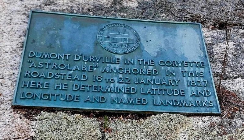
Photographed by Dave Buchanan, 2024
1. Dumont d'Urville Marker
Dumont d'Urville in the corvette "Astrolabe" anchored in this roadstead 16 to 22 January 1827
Here he determined latitude and longitude and named landmarks
Erected by New Zealand Historic Places Trust.
Topics. This historical marker is listed in this topic list: Exploration. A significant historical date for this entry is January 22, 1827.
Location. 40° 57.926′ S, 173° 3.138′ E. Marker is near Torrent Bay, Tasman, in Tasman District. It is on Abel Tasman Coast Track. The location is approximate. Touch for map. Marker is in this post office area: Torrent Bay, Tasman 7183, New Zealand. Touch for directions.

Regionally, it is in Oceania, in Australasia, in Polynesia, in the Pacific Ocean, on the Ring of Fire, on the Pacific Rim, in the Western World, and in the Anglosphere. Historically, it finds itself in what was once a British colony.
Also see . . . Jules Dumont d'Urville at Wikipedia. Jules Sébastien César Dumont d'Urville (23 May 1790 – 8 May 1842) was a French explorer and naval officer who explored the south and western Pacific, Australia, New Zealand, and Antarctica. As a botanist and cartographer,
this page online
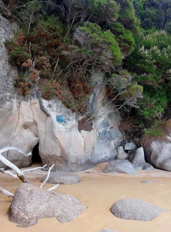
Photographed by Dave Buchanan, 2024
2. Dumont d'Urville Marker
Credits. This page was last revised on July 1, 2024. It was originally submitted on June 27, 2024, by J. Makali Bruton of Washington, District of Columbia. This page has been viewed 154 times since then and 13 times this year. Photos: 1, 2. submitted on June 27, 2024, by J. Makali Bruton of Washington, District of Columbia.
