Englefield Green in Surrey, England, United Kingdom — Northwestern Europe (the British Isles)
Ankerwycke's Hidden History
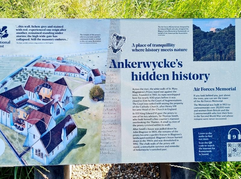
A place of tranquillity where history meets nature
Photographed by Stephen Palmer, June 9, 2024
1. Ankerwycke's Hidden History Marker
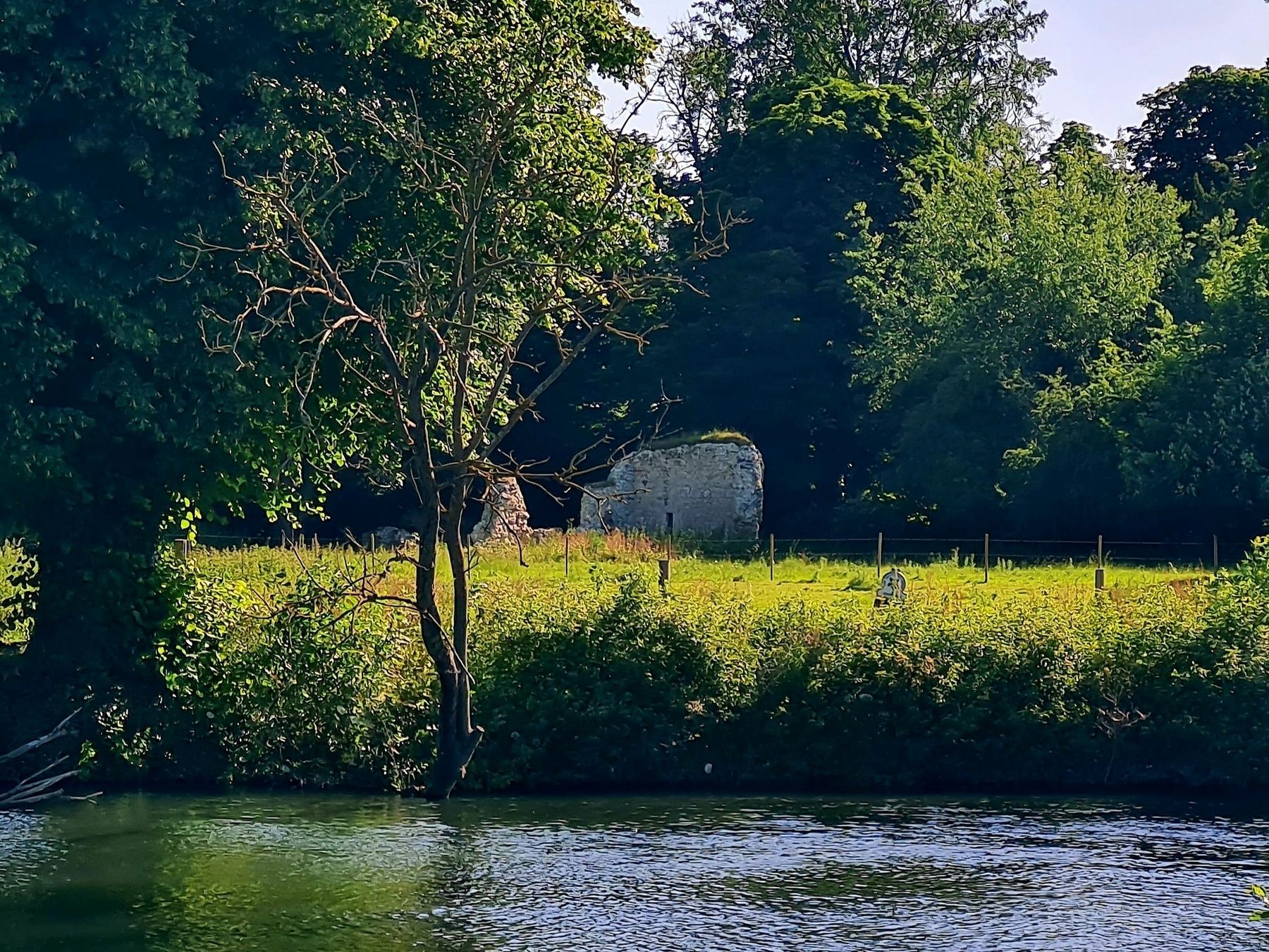
Across the river, the white walls of St. Mary Magdalene's Priory stand out against the trees. Founded in 1160, its nuns worshipped here for nearly 400 years before it was closed in 1536 by the Court of Augmentations. The Court was tasked with seizing the property of the Catholic Church, after Henry VIII became Head of the Church in England.
In 1551 King Edward VI gave the priory to one of his key advisors, Sir Thomas Smith, who built himself a fine courtier's mansion overlooking the Thames. A small section of the priory survived within its walls.
After Smith's house was pulled down by John Blagrove in 1805, the remains of the priory became a garden feature in Blagrove's landscaped parkland. Blagrove's house burned down in the 1960s and was demolished in 1992. The chalk walls of the priory still stand, a remarkable survivor and reminder of Ankerwycke's vanished past.
Air Forces Memorial
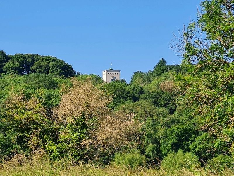
If you look behind you, just above the trees, you can see the tower of the Air Forces Memorial. The Memorial was built in 1953 to commemorate over 20,000 men and women from Britain and the Commonwealth who lost their lives in the
this page online
Topics. This historical marker is listed in these topic lists: Religion & Religious Structures • War, World II. A significant historical year for this entry is 1160.
Location. 51° 26.601′ N, 0° 33.517′ W. Marker is in Englefield Green, England, in Surrey. It can be reached from A308. Marker is on the Thames path at Runnymede - between Runnymede Pleasure Ground and the Magna Carta Tea Room. Touch for map. Marker is at or near this postal address: A308, Englefield Green, England TW20 0YU, United Kingdom. Touch for directions.

Regionally, this marker is in the Greater South East. Globally, it is on the Atlantic Ocean, in the North Atlantic Region, in Europe, in Atlantic Europe, on one of the British Isles, in the Western World, and in the Anglosphere. Historically, it finds itself in what was once the Roman Empire.
Other nearby markers. At least 8 other markers are within 3 kilometers of this marker, measured as the crow flies: The Trafalgar Way (approx. 1.3 kilometers away); Sealing of the Magna Carta at Runnymede (approx. 1.5 kilometers away); Egham War Memorial

Photographed by Stephen Palmer, June 9, 2024
2. Ankerwycke's Hidden History Marker
Photographed by Stephen Palmer, June 9, 2024
3. St. Mary Magdalene's Priory (Ruins)
Photographed by Stephen Palmer, June 9, 2024
4. Air Forces Memorial
Credits. This page was last revised on July 1, 2024. It was originally submitted on June 28, 2024, by Stephen Palmer of Ascot, England. This page has been viewed 213 times since then and 40 times this year. Photos: 1, 2, 3, 4. submitted on June 28, 2024, by Stephen Palmer of Ascot, England. • Andrew Ruppenstein was the editor who published this page.
