
Nottingham city centre , England, United Kingdom — Northwestern Europe (the British Isles)
Medieval Nottingham Castle

Photographed by Ray Gurganus, April 13, 2024
1. From timber to stone
From timber to stone
The medieval Castle was an imposing timber fortress built for William the Conqueror around 1068. It was strategically positioned to maximise the advantages of the natural terrain. Over time, it was rebuilt in stone. The Castle consisted of three baileys (protected compounds): an Upper Bailey' at the highest point of Castle Rock; a 'Middle Bailey on the lower outcrop of rock; and an adjacent large 'Outer Bailey'.
William the Conqueror became England's first Norman king after defeating the Saxon King Harold at the Battle of Hastings in 1066.
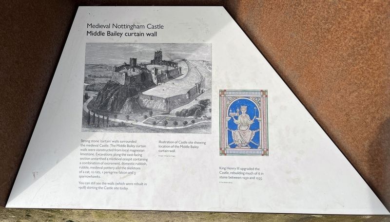
Middle Bailey Curtain Wall
Strong stone 'curtain' walls surrounded the medieval castle. The Middle Bailey curtain walls were constructed from local magnesian limestone. Excavations along the east-facing section unearthed a medieval cesspit containing a combination of excrement, domestic rubbish, rubble, medieval pottery, and the skeletons of a cat, 12 rats, 1 peregrine falcon, and 3 sparrowhawks.
You can still see the walls (which were rebuilt in 1908) skirting the castle site today.
King Henry III upgraded the castle, rebuilding much of it in stone
this page online
Topics. This historical marker is listed in these topic lists: Architecture • Forts and Castles. A significant historical year for this entry is 1068 CE.
Location. 52° 57.029′ N, 1° 9.25′ W. Marker is in Nottingham, England. It is in Nottingham city centre. It can be reached from Lenton Road. Touch for map. Marker is at or near this postal address: 3 Lenton Road, Nottingham, England NG1, United Kingdom. Touch for directions.

Regionally, this marker is in England’s Midlands. Globally, it is on the Atlantic Ocean, in the North Atlantic Region, in Europe, in Atlantic Europe, on one of the British Isles, in the Western World, and in the Anglosphere. Historically, it finds itself in what was once the Roman Empire.
Other nearby markers. At least 8 other markers are within walking distance of this marker: English Civil War (within shouting distance of this marker); Castle Ditch (within shouting distance of this marker); Great Hall (within shouting distance of this marker); Middle Bailey Medieval Curtain Wall (within shouting distance of this marker); A rebel. A revolutionary. An icon. (within shouting
Photographed by Ray Gurganus, April 13, 2024
2. Middle Bailey Curtain Wall
Photographed by Ray Gurganus, April 13, 2024
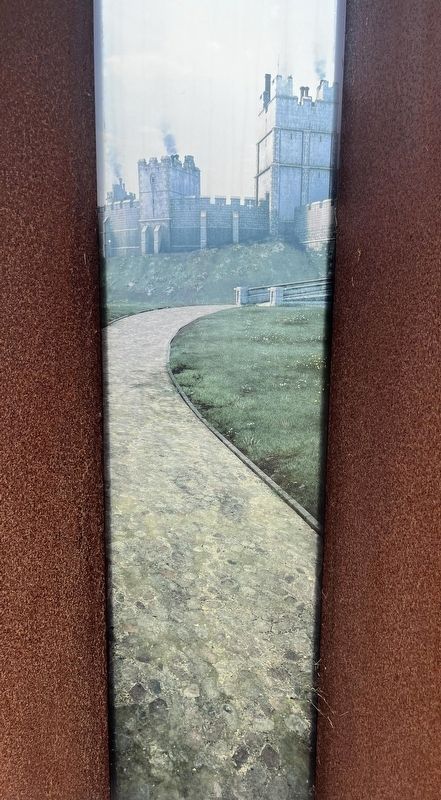
3. Nottingham Castle View
Photographed by Ray Gurganus, April 13, 2024
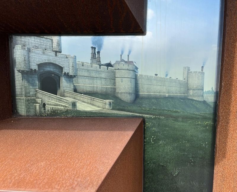
4. Middle Bailey Curtain Wall View
Credits. This page was last revised on July 1, 2024. It was originally submitted on June 28, 2024, by Ray Gurganus of Washington, District of Columbia. This page has been viewed 216 times since then and 32 times this year. Photos: 1, 2, 3, 4. submitted on June 28, 2024, by Ray Gurganus of Washington, District of Columbia. • Andrew Ruppenstein was the editor who published this page.
