Salem in Dent County, Missouri — The American Midwest (Upper Plains)
Captured Tank

Photographed by Thomas Smith, June 26, 2024
1. Captured Tank Marker
Captured by American Forces
5th Engineer Battalion
February 26, 1990
Euphrates River Valley, Iraq
Topics. This memorial is listed in this topic list: War, 1st Iraq & Desert Storm.
Location. 37° 37.852′ N, 91° 34.775′ W. Memorial is in Salem, Missouri, in Dent County. It is on State Highway 32, on the left when traveling north. Touch for map. Memorial is at or near this postal address: 2517 State Hwy 32, Salem MO 65560, United States of America. Touch for directions.

Regionally, this memorial is in South-Central Missouri. It is also in the American Ozarks, in the Lewis & Clark Corridor, and in the Corn Belt. Globally, it is in North America, the Western Hemisphere, the Western World, and the Anglosphere. Historically, it finds itself in what was once the territory of the Mississippian Culture, the Louisiana Purchase, and the Antebellum South.
Other nearby markers. At least 8 other markers are within 3 miles of this marker, measured as the crow flies: Fleming Variety (approx. 2½ miles away); Pratt, Mitchell & Company, CPA (approx. 2½ miles away); Century Link (approx.
this page online
Regarding Captured Tank. The marker is most likely in error as the US-led invasion of Iraq to liberate Kuwait, commonly known as Desert Storm, did not begin until January 1991.

Photographed by Thomas Smith, June 26, 2024
2. Captured Tank Marker
Photographed by Thomas Smith, June 26, 2024
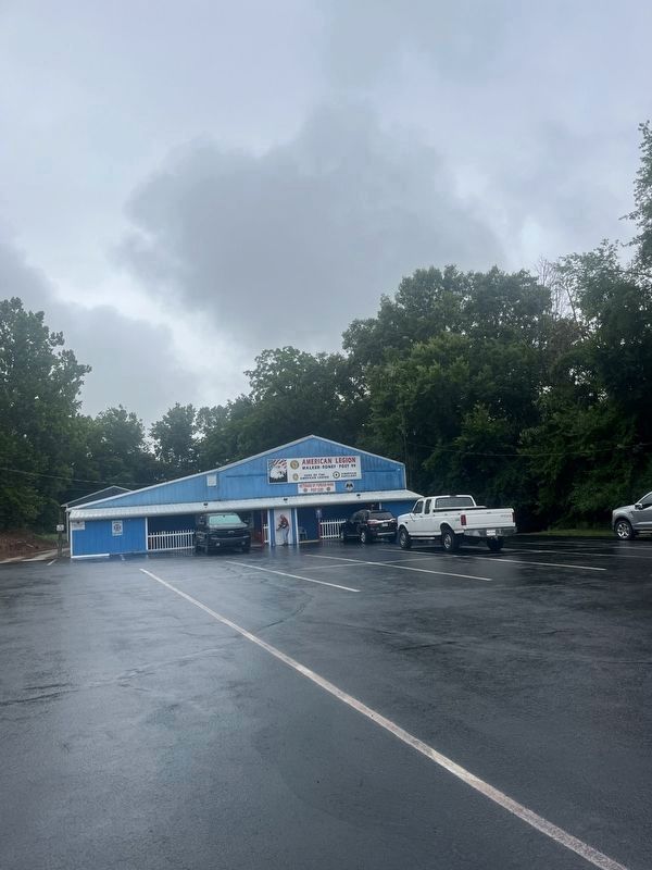
3. Location of the Captured Tank and Marker
Credits. This page was last revised on July 7, 2024. It was originally submitted on June 28, 2024, by Thomas Smith of Waterloo, Ill. This page has been viewed 188 times since then and 40 times this year. Photos: 1. submitted on June 28, 2024, by Thomas Smith of Waterloo, Ill. 2, 3. submitted on June 29, 2024, by Thomas Smith of Waterloo, Ill. • J. Makali Bruton was the editor who published this page.
