Turtle Creek Township near Fort Loramie in Shelby County, Ohio — The American Midwest (Great Lakes)
St. Patrick Catholic Church
Photographed by Michael Baker
1. St. Patrick Catholic Church Marker
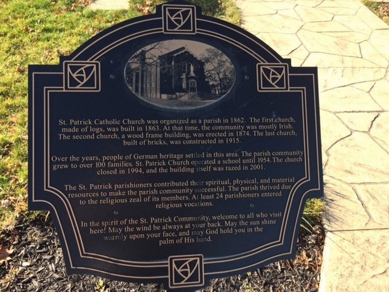
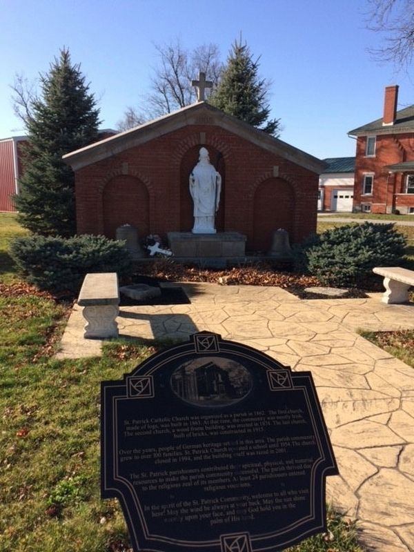
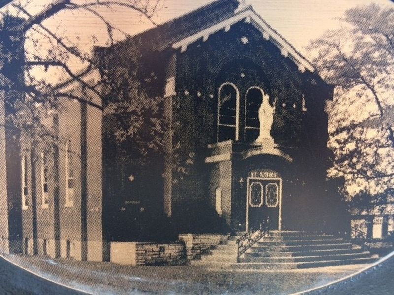
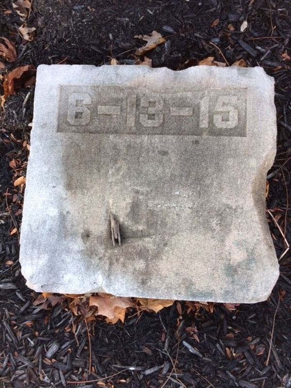
St. Patrick Catholic Church was organized as a parish in 1862. The first church, made of logs, was built in 1863. At that time, the community was mostly Irish. The second church, a wood frame building, was erected in 1874. The last church, built of bricks, was built in 1915.
Over the year, people of German heritage settled in this area. The parish community grew to over 100 families. St Patrick Church operated a school until 1954. The church closed in 1994, and the building was razed in 2001.
The St. Patrick parishioners contributed their spiritual, physical, and material resources to make the parish community successful. The parish thrived due to the religious zeal of its members. At least 24 parishioners entered religious vocations.
In the spirit of the St. Patrick Community, welcome to all who visit here! May the wind always be at your back. May the sun shine warmly upon your face, and may God hold you in the palm of His hand.
Topics. This historical marker is listed in these topic lists: Religion & Religious Structures • Settlements & Settlers. A significant historical year for this entry is 1862.
Location. 40° 22.236′ N,
this page online

Regionally, this marker is in Ohio’s Till Plains. It is also in the American Midwest and in the Corn Belt. Globally, it is in North America, the Western Hemisphere, the Western World, and the Anglosphere. Historically, it finds itself in what was once the Haudenosaunee (Iroquois) Confederacy, the territory of the Mississippian Culture, and the Northwest Territory.
Other nearby markers. At least 8 other markers are within 5 miles of this marker, measured as the crow flies: Shelby County Veterans Who Died While Serving Their Country (approx. 2.7 miles away); Village of Rumley (approx. 3.9 miles away); You Are On The Buckeye Trail (approx. 3.9 miles away); Minster (approx. 4.3 miles away); Fort Loramie / Lorimier's Trading Post (approx. 4.6 miles away); Fort Loramie (approx. 4.6 miles away); Veterans Memorial (approx.
Photographed by Michael Baker
2. St. Patrick Catholic Church Marker
Other markers no longer nearby. Rumley (was approx. 3.9 miles away but has been confirmed missing); Loramie's Store 1769 & Fort Loramie 1794 (was approx. 4.6 miles away but has been confirmed missing); Fort Loramie / The Indian Wars, 1790- 1795 (was approx. 4.6 miles away but has been confirmed missing).
Photographed by Michael Baker
3. St. Patrick Catholic Church Marker
Photographed by Michael Baker
4. St. Patrick Catholic Church Marker
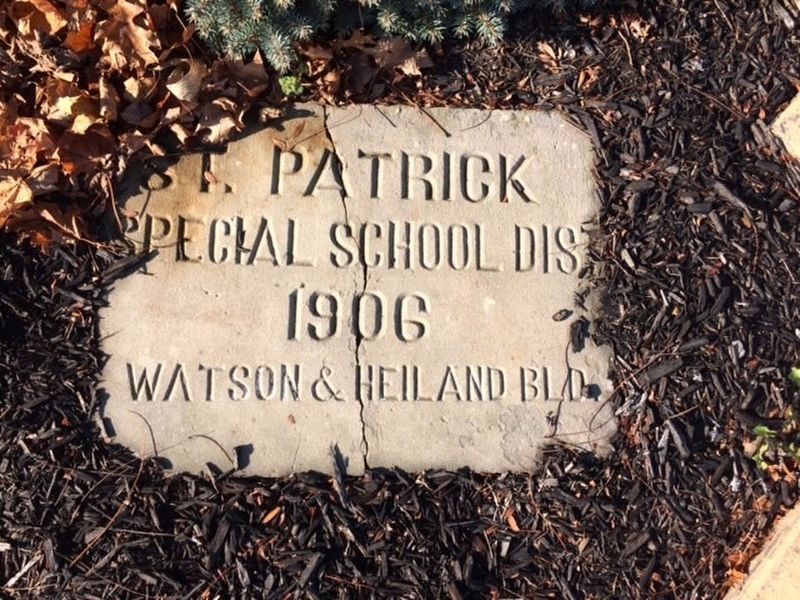
Photographed by Michael Baker
5. St. Patrick Catholic Church Marker
Credits. This page was last revised on July 1, 2024. It was originally submitted on December 2, 2016, by Michael Baker of Lima, Ohio. This page has been viewed 1,858 times since then and 81 times this year. Last updated on July 1, 2024, by Craig Doda of Napoleon, Ohio. Photos: 1, 2, 3, 4, 5. submitted on December 2, 2016, by Michael Baker of Lima, Ohio. • Devry Becker Jones was the editor who published this page.
