Hurricane in Washington County, Utah — The American Mountains (Southwest)
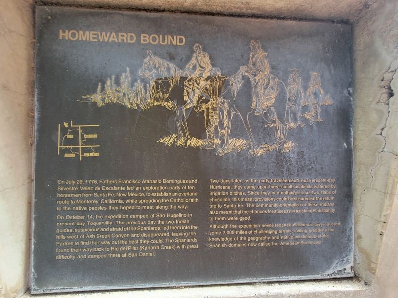
Homeward Bound
Photographed by Jeremy Snow, June 28, 2024
1. Homeward Bound Marker
On July 29, 1776, Fathers Francisco Atanasio Dominguez and Silvestre Velez de Escalante led an exploration party of ten horsemen from Santa Fe, New Mexico, to establish an overland route to Monterey, California, while spreading the Catholic faith to the native peoples they hoped to meet along the way.
On October 14, the expedition camped at San Hugolino in present-day Toquerville. The previous day the two Indian guides, suspicious and afraid of the Spaniards, led them into the hills west of Ash Creek Canyon and disappeared, leaving the Padres to find their way out the best they could. The Spaniards found their way back to Rio del Pilar (Kanarra Creek) with great difficulty and camped there at San Daniel.
Two days later, as the party traveled south near present-day Hurricane, they came upon three small cornfields watered by irrigation ditches. Since they had nothing left but two slabs of chocolate, this meant provisions could be secured on the return trip to Santa Fe. The community-orientation of these Indians also meant that the chances for success in teaching Christianity to them were good.
Although
this page online
Topics and series. This historical marker is listed in this topic list: Exploration. In addition, it is included in the Dominguez y Escalante Expedition series list. A significant historical date for this entry is July 29, 1776.
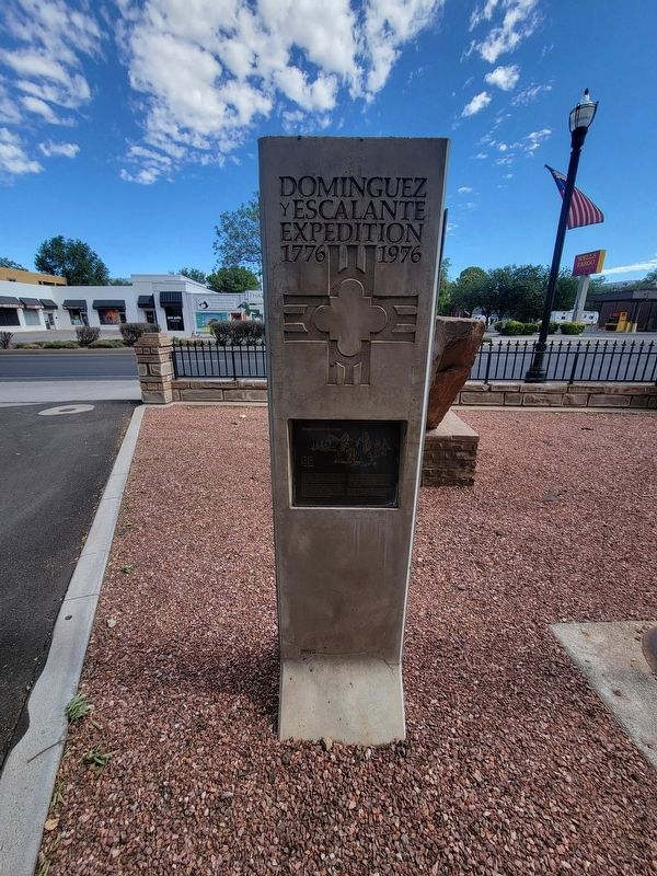
Location. 37° 10.58′ N, 113° 17.339′ W. Marker is in Hurricane, Utah, in Washington County. It is on State Street, on the right when traveling east. The marker is on the grounds of the Hurricane Valley Heritage Park Museum. Touch for map. Marker is at or near this postal address: 35 State Street, Hurricane UT 84737, United States of America. Touch for directions.

Regionally, this marker is in Color Country. It is also in the American Southwest, in the Mountain West, and on the Colorado Plateau. Globally, it is in North America, the Rocky Mountains, the Western Hemisphere, the Western World, and the Anglosphere. Historically, it finds itself in what was once New Spain and also Mexico’s
Photographed by Jeremy Snow, June 28, 2024
2. Homeward Bound Marker
Other nearby markers. At least 8 other markers are within walking distance of this marker: Isom's Corner (a few steps from this marker); Hurricane Library/City Hall (a few steps from this marker); Early Day Wood Beam Walking Hand Plow (within shouting distance of this marker); Smith Mesa (within shouting distance of this marker); The Roads to Utah’s Dixie (within shouting distance of this marker); Hurricane City (within shouting distance of this marker); Survival in Utah’s Dixie (within shouting distance of this marker); The Town Named After a Buggy Incident (within shouting distance of this marker). Touch for a list and map of all markers in Hurricane.
Credits. This page was last revised on July 4, 2024. It was originally submitted on July 2, 2024, by Jeremy Snow of Cedar City, Utah. This page has been viewed 247 times since then and 19 times this year. Photos: 1, 2. submitted on July 2, 2024, by Jeremy Snow of Cedar City, Utah. • Andrew Ruppenstein was the editor who published this page.
