Cedar-Riverside in Minneapolis in Hennepin County, Minnesota — The American Midwest (Upper Plains)
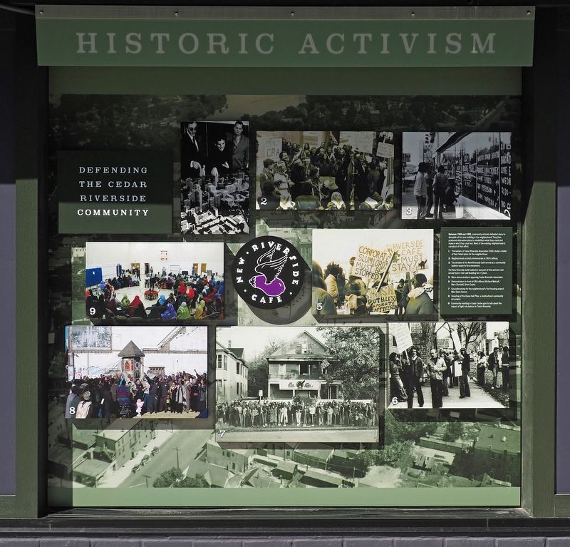
Historic Activism
Defending the Cedar Riverside Community
Photographed by McGhiever, June 30, 2024
1. Historic Activism Marker
Between 1968 and 1998, community activists defeated plans to demolish all but one building in the neighborhood. They then produced alternative plans to rehabilitate what they could and replace what they could not. Most of the existing neighborhood is a product of that effort.
1 The leaders of Cedar Riverside Associates (CRA) study a model of their failed plans for the neighborhood.
2 Neighborhood activists demonstrate at CRA's offices.
3 The window of the New Riverside Café served as a community bulletin board for the movement.
The New Riverside Café Collective was part of this activism and served food in the Café Building for 27 years.
5 More demonstrations opposing Cedar Riverside Associates.
6 Demonstrators in front of CRA offices (Richard Metcalf, Marv Davidoff, Brian Coyle).
7 Groundbreaking for the neighborhood's first housing project, West Bank Homes.
8 Unveiling of the Dania Hall Pillar, a multicultural community art project.
9 Community meeting in Coyle Center gym to talk about the impact of light rail stations in Cedar Riverside.
Topics. This historical marker is listed in this
this page online
Location. 44° 58.216′ N, 93° 14.823′ W. Marker is in Minneapolis, Minnesota, in Hennepin County. It is in Cedar-Riverside. It is at the intersection of Riverside Avenue and Cedar Avenue, on the right when traveling north on Riverside Avenue. Touch for map. Marker is at or near this postal address: 329 Cedar Avenue, Minneapolis MN 55454, United States of America. Touch for directions.

Regionally, this marker is in the Twin Cities Metropolitan Area. It is also in the American Midwest, in the Corn Belt, and in the Great River Road Region. Globally, it is in North America, the Western Hemisphere, the Western World, and the Anglosphere. Historically, it finds itself in what was once Rupert’s Land, the territory of the Mississippian Culture, and the Louisiana Purchase.
Other nearby markers. At least 8 other markers are within walking distance of this marker: A Global University (about 800 feet away, measured in a direct line); Distance Learning (approx. 0.2 miles away); A Legacy of Public Service (approx. 0.2 miles away); Mulford Q. Sibley Grove
Photographed by McGhiever, April 20, 2024
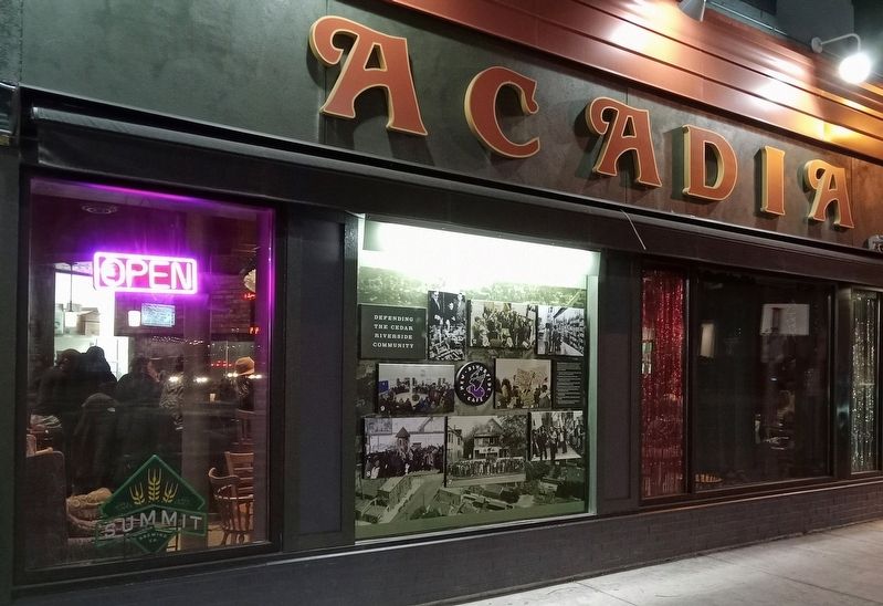
2. Historic Activism Marker in the window of what is now the Arcadia café
Credits. This page was last revised on July 2, 2024. It was originally submitted on July 2, 2024, by McGhiever of Minneapolis, Minnesota. This page has been viewed 249 times since then and 41 times this year. Photos: 1, 2. submitted on July 2, 2024, by McGhiever of Minneapolis, Minnesota.
