Newhall in Santa Clarita in Los Angeles County, California — The American West (Pacific Coastal)
World War I
1914 - 1918
Photographed by Craig Baker, July 2, 2024
1. World War I Marker
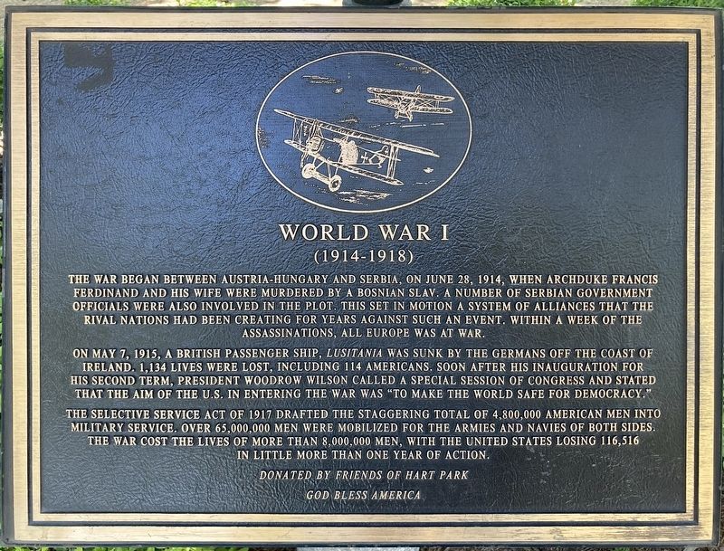
The war began between Austria-Hungary and Serbia, on June 28, 1914, when Archduke Francis Ferdinand and his wife were murdered by a Bosnian slav. A number of Serbian government officials were also involved in the plot. This set in motion a system of alliances that the rival nations had been creating for years against such an event. Within a week of the assassinations, all Europe was at war.
On May 7, 1915, a British passenger ship, Lusitania was sunk by the Germans off the coast of Ireland. 1,134 lives were lost, including 114 Americans. Soon after his inauguration for his second term, president Woodrow Wilson called a special session of congress and stated that the aim of the U.S. in entering the war was "to make the world safe for democracy."
The selective service act of 1917 drafted the staggering total of 4,800,000 American men into military service. Over 65,000,000 men were mobilized for the armies and navies of both sides. The war cost the lives of more than 8,000,000 men, with the United States losing 116,516 in little more than one year of action.
Erected by Friends of Hart Park; and
this page online
Topics. This memorial is listed in this topic list: War, World I. A significant historical year for this entry is 1914.
Location. 34° 22.657′ N, 118° 31.719′ W. Memorial is in Santa Clarita, California, in Los Angeles County. It is in Newhall. It is at the intersection of Walnut Street and Newhall Avenue on Walnut Street. Touch for map. Memorial is at or near this postal address: 24275 Walnut St, Newhall CA 91321, United States of America. Touch for directions.

Regionally, this memorial is in Greater Los Angeles and in the Transverse Ranges. It is also on the American Pacific Coast. Globally, it is in North America, on the Ring of Fire, on the Pacific Rim, in the Western Hemisphere, in the Western World, and in the Anglosphere. Historically, it finds itself in what was once New Spain and also Mexico’s Alta California.
Other nearby markers. At least 8 other markers are within walking distance of this marker: William J. Johnston Jr. (here, next to this marker); Spanish-American War (here, next to this marker); World War II (here, next to this marker); a different marker also named World War II (a few
Photographed by Craig Baker, July 2, 2024
2. Two Rows of Markers
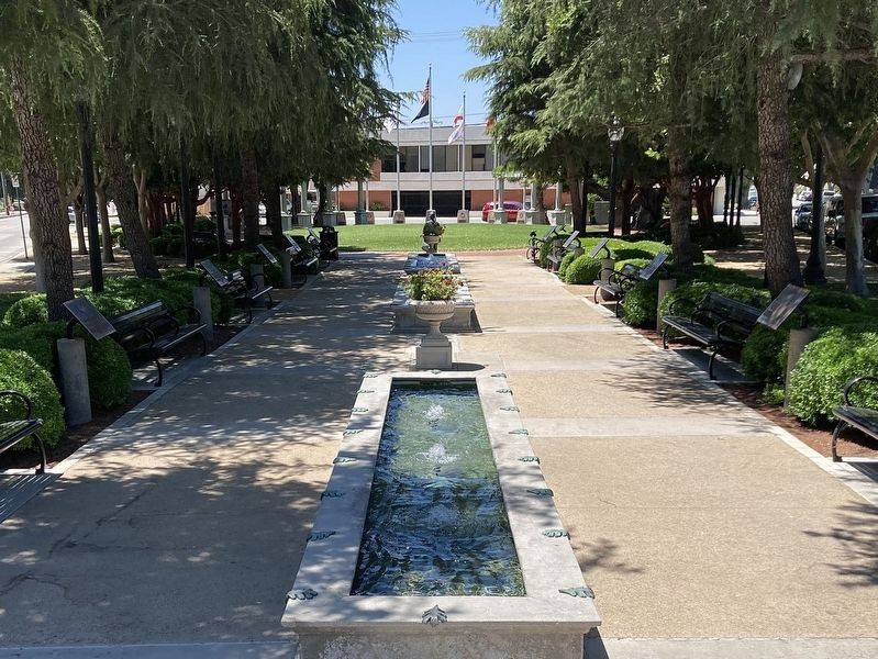
Markers along both sides of the walkway describe each major U.S. conflict.
Photographed by Craig Baker, July 18, 2018
3. Sign at Street
Credits. This page was last revised on July 2, 2024. It was originally submitted on July 2, 2024, by Craig Baker of Sylmar, California. This page has been viewed 151 times since then and 12 times this year. Photos: 1, 2. submitted on July 2, 2024, by Craig Baker of Sylmar, California. 3. submitted on October 25, 2018, by Craig Baker of Sylmar, California.
