Salem in Dent County, Missouri — The American Midwest (Upper Plains)
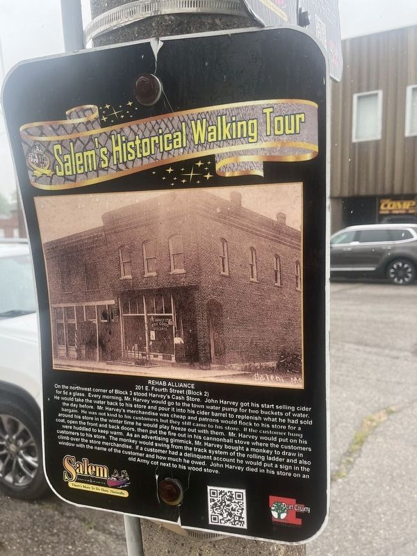
Rehab Alliance
201 E. Fourth St. (Block 2)
Photographed by Thomas Smith, June 26, 2024
1. Rehab Alliance Marker
On the northwest corner of Block 3 stood Harvey's Cash Store. John Harvey got his start selling cider for 5c a glass. Every morning, Mr. Harvey would go to the town water pump for two buckets of water. He would take the water back to his store and pour it into his cider barrel to replenish what he had sold the day before. Mr. Harvey's merchandise was cheap and patrons would flock to his store for a bargain. He was not kind to his customers but they still came to his store. If the customer hung around his store in the winter time he would play freeze out with them. Mr. Harvey would put on his coat, open the front and back doors, then put the fire out in his cannonball stove where the customers were huddled to keep warm. As an advertising gimmick, Mr. Harvey bought a monkey to draw in customers to his store. The monkey would swing from the track system of the rolling ladder and also climb over the store merchandise. If a customer had a delinquent account he would put a sign in the window with the name of the customer and how much he owed. John Harvey died in his store on an old Army cot next to his wood stove.
Topics.
this page online
Location. 37° 38.719′ N, 91° 32.111′ W. Marker is in Salem, Missouri, in Dent County. It is on North Iron Street near East Fourth Street. Touch for map. Marker is at or near this postal address: 201 E Fourth St, Salem MO 65560, United States of America. Touch for directions.

Regionally, this marker is in South-Central Missouri. It is also in the American Ozarks, in the Lewis & Clark Corridor, and in the Corn Belt. Globally, it is in North America, the Western Hemisphere, the Western World, and the Anglosphere. Historically, it finds itself in what was once the territory of the Mississippian Culture, the Louisiana Purchase, and the Antebellum South.
Other nearby markers. At least 8 other markers are within walking distance of this marker: City of Salem Administrative Offices - Block 2 (a few steps from this marker); Red Hen Café (a few steps from this marker); The Dent Block (within shouting distance of this marker); Greene's Jewelry Store (within shouting distance of this marker); VIP Properties - Block 10
Photographed by Thomas Smith, June 26, 2024
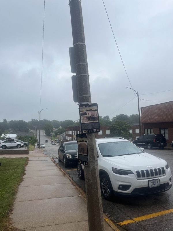
2. Rehab Alliance Marker
Credits. This page was last revised on July 8, 2024. It was originally submitted on July 2, 2024, by Thomas Smith of Waterloo, Ill. This page has been viewed 121 times since then and 16 times this year. Photos: 1, 2. submitted on July 2, 2024, by Thomas Smith of Waterloo, Ill. • J. Makali Bruton was the editor who published this page.
