Near Arcadia in Custer County, Nebraska — The American Midwest (Upper Plains)
Mitchell And Ketchum Homesteads
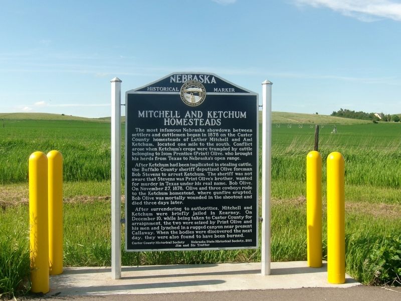
Photographed by Roger Dean Meyer, May 22, 2024
1. Mitchell And Ketchum Homesteads Marker
After Ketchum had been implicated in stealing cattle, , the Buffalo County sheriff deputized Olive foreman Bob Stevens to arrest Ketchum. The sheriff was not aware that Stevens was Print Olive’s brother, wanted for murder in Texas under his real name, Bob Olive. On November 27, 1878, Olive and three cowboys rode to the Ketchum homestead, where gunfire erupted. Bob Olive was mortally wounded in the shootout and died three days later.
After surrendering to authorities, Mitchell and Ketchum were briefly jailed in Kearney. On December 10, while being taken to Custer County for arraignment, the two were seized by Print Olive and his men and lynched in a rugged canyon near present Callaway. When the bodies were discovered the next day, they were also found to have been burned.
Erected 2015
this page online
Topics and series. This historical marker is listed in this topic list: Settlements & Settlers. In addition, it is included in the Nebraska State Historical Society series list. A significant historical date for this entry is November 27, 1878.
Location. 41° 23.653′ N, 99° 15.555′ W. Marker is near Arcadia, Nebraska, in Custer County. It is on Nebraska Route 70 just east of Road 459 (County Route 459), on the left when traveling east. Touch for map. Marker is in this post office area: Arcadia NE 68815, United States of America. Touch for directions.

Regionally, this marker is in the American Midwest, in the Corn Belt, and on the prairies. Globally, it is in North America, the Western Hemisphere, the Western World, and the Anglosphere. Historically, it finds itself in what was once the Louisiana Purchase.
Other nearby markers. At least 5 other markers are within 10 miles of this marker, measured as the crow flies: Westerville United Methodist Church (approx. 6.4 miles away); 1880 Westerville 1980 (approx. 6½ miles away); Arcadia Centennial 1885-1985
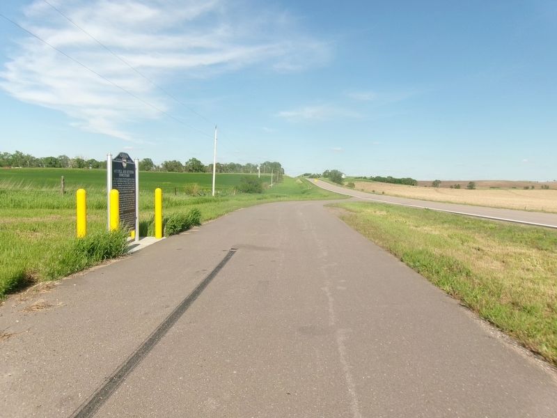
Photographed by Roger Dean Meyer, May 22, 2024
2. Distance View of Mitchell And Ketchum Homesteads Marker
Credits. This page was last revised on February 18, 2025. It was originally submitted on July 2, 2024, by Roger Dean Meyer of Yankton, South Dakota. This page has been viewed 691 times since then and 82 times this year. Photos: 1. submitted on July 2, 2024, by Roger Dean Meyer of Yankton, South Dakota. 2. submitted on July 3, 2024, by Roger Dean Meyer of Yankton, South Dakota.
