East Rock in New Haven in South Central Region, Connecticut — The American Northeast (New England)
Rock Lane Bridge
Photographed by Conrad Ward, May 11, 2024
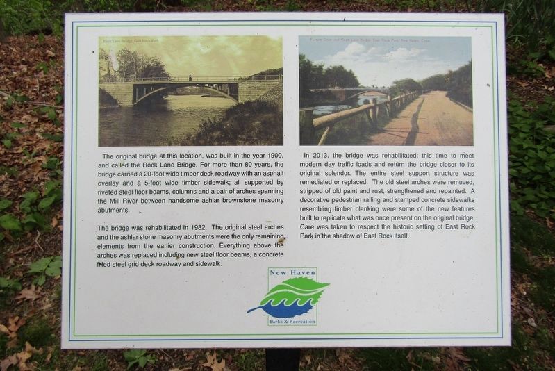
1. Rock Lane Bridge Marker
The original bridge at this location, was built in the year 1900, and called the Rock Lane Bridge. For more than 80 years, the bridge carried a 20-foot wide timber deck roadway with an asphalt overlay and a 5-foot wide timber sidewalk; all supported by riveted steel floor beams, columns and a pair of arches spanning the Mill River between handsome ashlar brownstone masonry abutments.
The bridge was rehabilitated in 1982. The original steel arches and the ashlar stone masonry abutments were the only remaining, elements from the earlier construction. Everything above the arches was replaced including new steel floor beams, a concrete filled steel grid deck roadway and sidewalk.
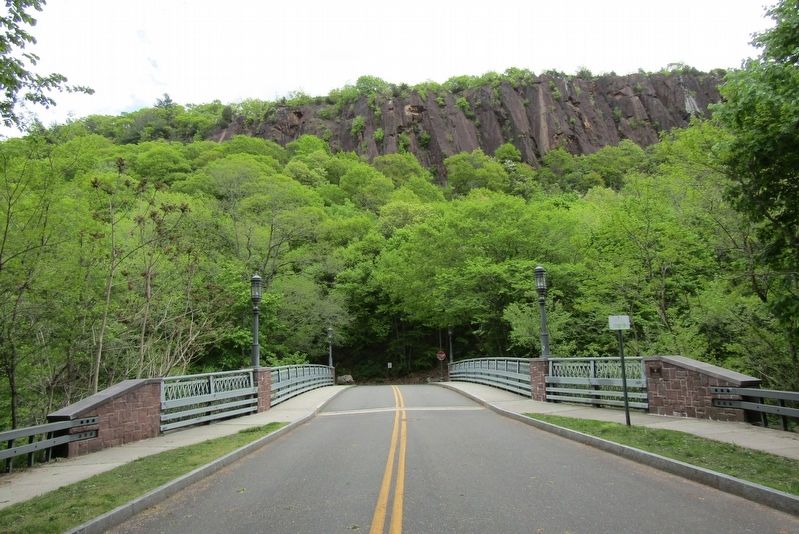
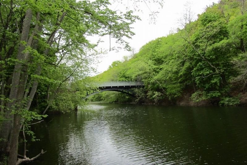
In 2013, the bridge was rehabilitated; this time to meet modern day traffic loads and return the bridge closer to its original splendor. The entire steel support structure was remediated or replaced. The old steel arches were removed, stripped of old paint and rust, strengthened and repainted. A decorative pedestrian railing and stamped concrete sidewalks resembling timber planking were some of the new features built to replicate what was once
this page online
Erected by New Haven Parks & Recreation.
Topics. This historical marker is listed in this topic list: Bridges & Viaducts. A significant historical year for this entry is 1900.
Location. 41° 19.833′ N, 72° 54.559′ W. Marker is in New Haven in South Central Region, Connecticut. It is in East Rock. It is on East Rock Road east of Livingston Street, on the left when traveling east. Touch for map. Marker is in this post office area: New Haven CT 06511, United States of America. Touch for directions.

Regionally, this marker is in the Connecticut River Valley and on the Connecticut Shoreline. It is also in the American Northeast, in New England, and on the Eastern Seaboard. Globally, it is in the North Atlantic Region, North America, the Western Hemisphere, the Western World, and the Anglosphere. Historically, it finds itself in what was once New Haven County and also one of the original Thirteen Colonies.
Other nearby markers. At least 8 other markers are within walking distance of this marker:
Photographed by Conrad Ward, May 11, 2024
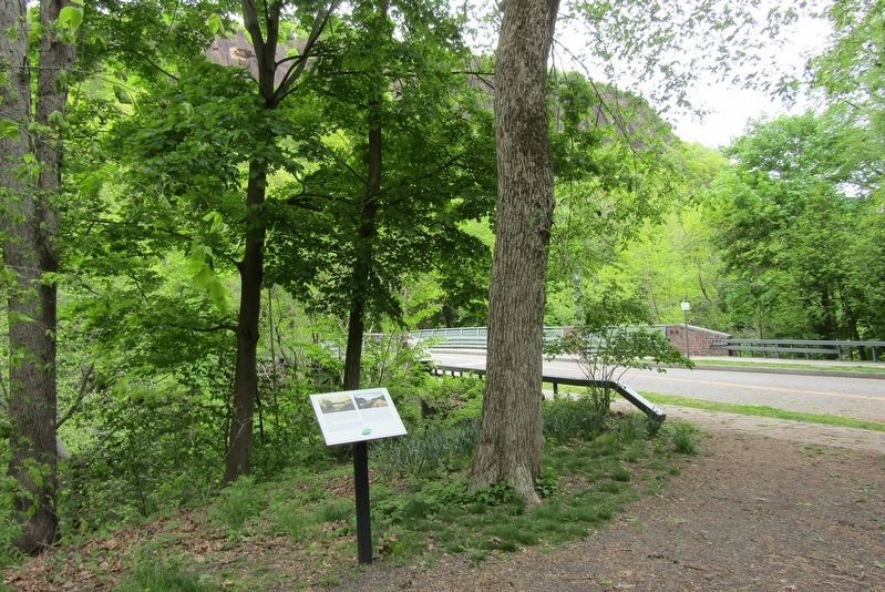
2. Rock Lane Bridge Marker
Photographed by Conrad Ward, May 11, 2024
3. Bridge leading to East Rock
Photographed by Conrad Ward, May 11, 2024
4. Modern-day bridge
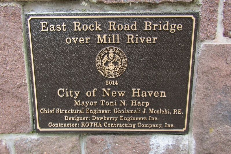
Photographed by Conrad Ward, May 11, 2024
5. Plaque
Credits. This page was last revised on May 19, 2026. It was originally submitted on July 4, 2024, by Conrad Ward of Guilford, Connecticut. This page has been viewed 176 times since then and 18 times this year. Photos: 1, 2, 3, 4, 5. submitted on July 4, 2024, by Conrad Ward of Guilford, Connecticut. • J. Makali Bruton was the editor who published this page.
