Fisher in Sabine Parish, Louisiana — The American South (West South Central)
Village of Fisher
Photographed by Cajun Scrambler, July 4, 2024
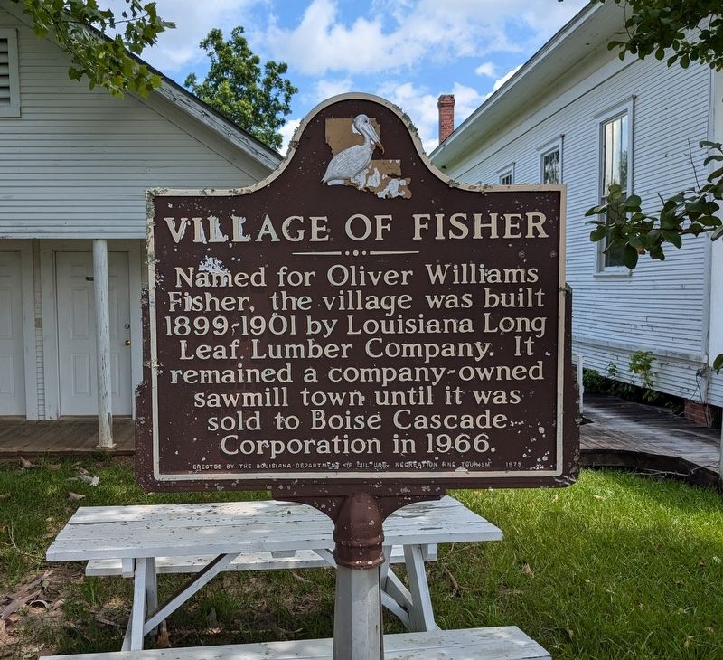
1. Village of Fisher Marker
Named for Oliver Williams Fisher, the village was built 1899-1901 by Louisiana Long Leaf Lumber Company. It. remained a company-owned sawmill town until it was sold to Boise Cascade Corporation in 1966
Erected 1979 by Louisiana Department of Culture, Recreation and Tourism.
Topics. This historical marker is listed in these topic lists: Industry & Commerce • Settlements & Settlers.
Location. 31° 29.629′ N, 93° 28.018′ W. Marker is in Fisher, Louisiana, in Sabine Parish. It is on 4 L Drive North. Touch for map. Marker is at or near this postal address: 367 4 L Drive North, Fisher LA 71426, United States of America. Touch for directions.

Regionally, this marker is in Central Louisiana. It is also in the American South, specifically in the Deep South, and in the Piney Woods. Globally, it is in North America, a Gulf of Mexico state, the Western Hemisphere, the Western World, and the Anglosphere. Historically, it finds itself in what was once New Spain, the territory of the Mississippian Culture, the Louisiana Purchase, one of the Confederate
this page online
Other nearby markers. At least 8 other markers are within 6 miles of this marker, measured as the crow flies: Free State of Sabine (approx. 3½ miles away); Kansas City Southern Railway Depot (approx. 5 miles away); First Lieutenant Floyd J. Giblin (approx. 5.1 miles away); Duty • Honor • Country (approx. 5.2 miles away); St. John the Baptist Catholic Church (approx. 5.2 miles away); Baldwin's Store (approx. 5.2 miles away); The Sabine Index (approx. 5.2 miles away); Sabine High School (approx. 5.4 miles away).
Photographed by Cajun Scrambler, July 4, 2024
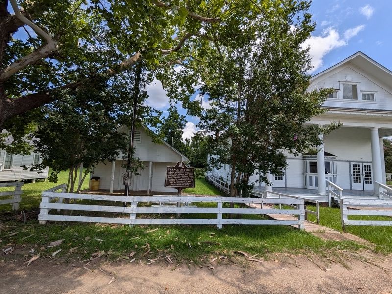
2. Village of Fisher Marker
Credits. This page was last revised on July 4, 2024. It was originally submitted on July 4, 2024, by Cajun Scrambler of Assumption, Louisiana. This page has been viewed 246 times since then and 52 times this year. Photos: 1, 2. submitted on July 4, 2024, by Cajun Scrambler of Assumption, Louisiana.
