Kernville in Kern County, California — The American West (Pacific Coastal)
Old Kernville
Whiskey Flat
courtesy E Clampus Vitus
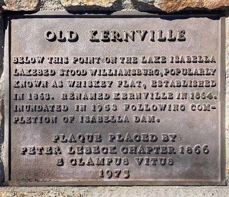
1. Old Kernville Marker
Below this point on the Lake Isabella lakebed stood Williamsburg, popularly known as Whiskey Flat, established in 1863. Renamed Kernville in 1864. Inundated in 1953 following completion of Isabella Dam.
Erected 1973 by Peter Lebeck Chapter 1866 E Clampus Vitus.
Topics and series. This historical marker is listed in this topic list: Settlements & Settlers. In addition, it is included in the E Clampus Vitus series list. A significant historical year for this entry is 1863.
Location. 35° 43.049′ N, 118° 26.305′ W. Marker is in Kernville, California, in Kern County. It can be reached from Old Cemetery Road near Burlando Road. Touch for map. Marker is in this post office area: Kernville CA 93238, United States of America. Touch for directions.

Regionally, this marker is in the San Joaquin Valley, specifically in the Central Valley, and in the Sierra Nevada. It is also on the American Pacific Coast. Globally, it is in North America, on the Ring of Fire, on the Pacific Rim, in the Western Hemisphere, in the Western World, and in the Anglosphere. Historically, it finds itself in what was once New Spain
this page online
Other nearby markers. At least 8 other markers are within 5 miles of this marker, measured as the crow flies: Kernville Veterans Memorial (approx. 0.2 miles away); Kernville (approx. ¼ mile away); Bob Powers (approx. 2.7 miles away); Arrastra and Chilean Wheel (approx. 2.7 miles away); The Harley Mine (approx. 2.7 miles away); Kern River Valley History (approx. 2.7 miles away); Campsite of Edward Kern (approx. 4.8 miles away); Old Isabella (approx. 4.8 miles away). Touch for a list and map of all markers in Kernville.
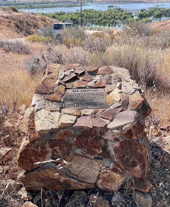
More about this marker. The marker is hidden behind an embankment. The location offers a view of the submerged town site. Structural remains can be seen in the shallow water, when the water level is low.
courtesy E Clampus Vitus
2. Old Kernville Marker
Credits. This page was last revised on March 12, 2025. It was originally submitted on July 5, 2024, by Craig Baker of Sylmar, California. This page has been viewed 385 times since then and 103 times this year. Photos: 1, 2. submitted on July 5, 2024, by Craig Baker of Sylmar, California.
