Near Black River Falls in Jackson County, Wisconsin — The American Midwest (Great Lakes)
Black River Valley
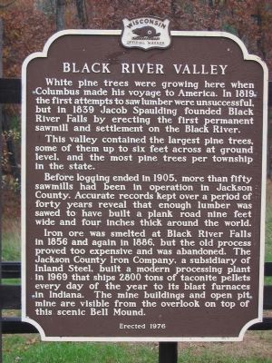
Photographed by Keith L, October 26, 2007
1. Black River Valley Marker
This valley contained the largest pine trees, some of them up to six feet across at ground level, and the most pine trees per township in the state.
Before logging ended in 1905, more than fifty sawmills had been in operation in Jackson County. Accurate records kept over a period for forty years reveal that enough lumber was sawed to have built a plank road nine feet wide and four inches thick around the world.
Iron ore was smelted at Black River Falls in 1856 and again in 1886, but the old process proved too expensive and was abandoned. The Jackson County Iron Company, a subsidiary of Inland Steel, built a modern processing plant in 1969 that ships 2800 tons of taconite pellets every day of the year to its blast furnaces in Indiana. The mine buildings and open pit mine are visible from the overlook on top of this scenic Bell Mound.
Erected 1976
this page online
Topics and series. This historical marker is listed in these topic lists: Horticulture & Forestry • Industry & Commerce • Natural Resources • Settlements & Settlers. In addition, it is included in the Wisconsin Historical Society series list. A significant historical year for this entry is 1819.
Location. 44° 14.853′ N, 90° 44.197′ W. Marker is near Black River Falls, Wisconsin, in Jackson County. It can be reached from Interstate 94 at milepost 121, on the right when traveling west. The marker is southeast of Black River Falls at westbound Rest Area 54. Touch for map. Marker is in this post office area: Black River Falls WI 54615, United States of America. Touch for directions.

Regionally, this marker is in the American Midwest and in the Corn Belt. Globally, it is in North America, the Western Hemisphere, the Western World, and the Anglosphere. Historically, it finds itself in what was once the territory of the Mississippian Culture and also the Northwest Territory.
Other nearby markers. At least 8 other markers are within 6 miles of this marker, measured
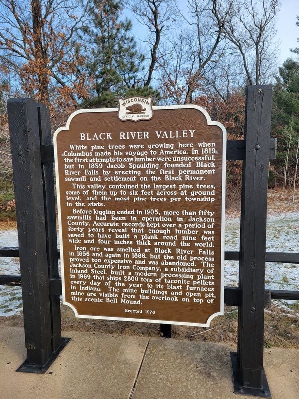
Photographed by Fitzie Heimdahl, December 13, 2024
2. Black River Valley Marker
Marker was refurbished in 2024.
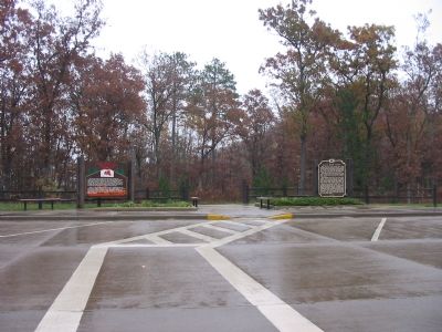
Photographed by Keith L, October 26, 2007
3. Black River Valley Marker
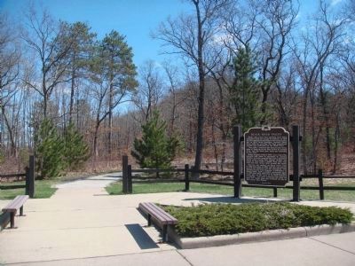
Photographed by William J. Toman, April 17, 2011
4. Black River Valley Marker
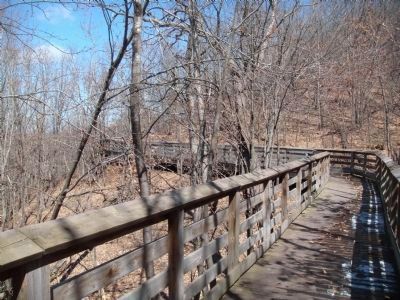
The path to the overlook mentioned in the marker begins just to the left of the marker.
Photographed by William J. Toman, April 17, 2011
5. Path to Overlook
Eventually the path to the overlook becomes a wooden walkway.
Photographed by William J. Toman, April 17, 2011
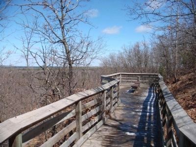
6. Bell Mound Overlook
This is the overlook mentioned in the marker.
Photographed by William J. Toman, April 17, 2011
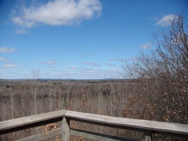
7. Bell Mound Overlook
This is the view to the southeast from the overlook. Contrary to the reference in the marker, there were no mine buildings or open pit mine visible from the overlook.
Photographed by William J. Toman, April 17, 2011
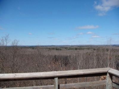
8. Bell Mound Overlook
This is the view to the northeast.
Photographed by William J. Toman, April 17, 2011
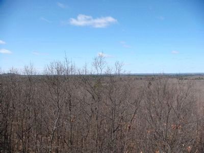
9. Bell Mound Overlook
This is the view to the northwest.
Credits. This page was last revised on December 16, 2024. It was originally submitted on November 5, 2007, by Keith L of Wisconsin Rapids, Wisconsin. This page has been viewed 2,965 times since then and 141 times this year. Last updated on July 5, 2024, by Gary Sonnenberg of Waukesha, Wisconsin. Photos: 1. submitted on November 5, 2007, by Keith L of Wisconsin Rapids, Wisconsin. 2. submitted on December 16, 2024, by Fitzie Heimdahl of Eau Claire, Wisconsin. 3. submitted on November 5, 2007, by Keith L of Wisconsin Rapids, Wisconsin. 4, 5, 6, 7. submitted on April 17, 2011, by William J. Toman of Green Lake, Wisconsin. 8, 9. submitted on April 18, 2011, by William J. Toman of Green Lake, Wisconsin. • J. Makali Bruton was the editor who published this page.
Editor’s want-list for this marker. Pictures of the mine buildings and open pit mine. • Can you help?
