Worcester in Worcestershire, England, United Kingdom — Northwestern Europe (the British Isles)
South Parade

Photographed by Ray Gurganus, April 4, 2024
1. South Parade Marker
John Gwynn designed Worcester bridge, its approach roads and quays. Construction was begun in 1771 using sandstone shipped down the Severn. The bridge was opened in 1781. Bridge Street with its shops and houses was completed in 1792 after his death. He is buried in St Oswald's Hospital Graveyard.
Topics. This historical marker is listed in this topic list: Bridges & Viaducts. A significant historical year for this entry is 1771.
Location. 52° 11.473′ N, 2° 13.519′ W. Marker is in Worcester, England, in Worcestershire. It is on South Parade. Touch for map. Marker is at or near this postal address: South Parade, Worcester, England WR1 2JJ, United Kingdom. Touch for directions.

Regionally, this marker is in the Midlands. Globally, it is on the Atlantic Ocean, in the North Atlantic Region, in Europe, in Atlantic Europe, on one of the British Isles, in the Western World, and in the Anglosphere. Historically, it finds itself in what was once the Roman Empire.
Other nearby markers. At least 8 other markers are within 11 kilometers of this marker, measured as the crow flies: North Parade
this page online
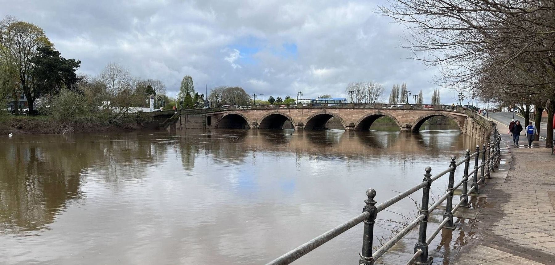
Photographed by Ray Gurganus, April 4, 2024
2. Worcester Bridge
Credits. This page was last revised on July 11, 2024. It was originally submitted on July 7, 2024, by Ray Gurganus of Washington, District of Columbia. This page has been viewed 173 times since then and 13 times this year. Photos: 1, 2. submitted on July 7, 2024, by Ray Gurganus of Washington, District of Columbia. • Bill Pfingsten was the editor who published this page.
