Lexington in Middlesex County, Massachusetts — The American Northeast (New England)
Benjamin Wellington
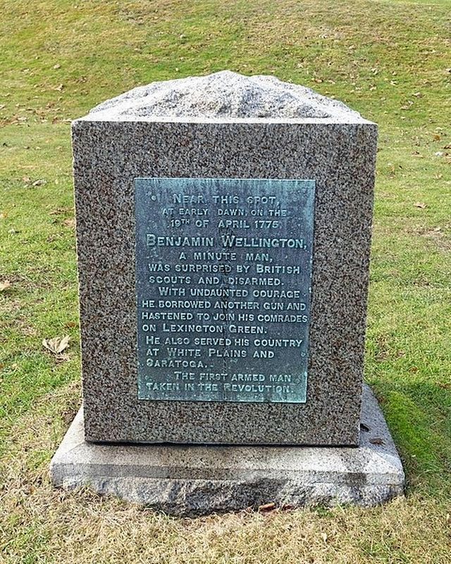
Photographed by J. Makali Bruton
1. Benjamin Wellington Marker
Near this spot, at early dawn, on the 19th of April 1775
Benjamin Wellington
A Minute Man, was surprised by British scouts, and disarmed.
With undaunted courage he borrowed another gun and hastened to join his comrades on Lexington Green. He also served his country at White Plains and Saratoga.
The first armed man taken in the Revolution.
Topics. This historical marker is listed in this topic list: War, US Revolutionary. A significant historical date for this entry is April 19, 1775.
Location. 42° 25.712′ N, 71° 12.422′ W. Marker is in Lexington, Massachusetts, in Middlesex County. It is at the intersection of Follen Road and Pleasant Street, on the right when traveling east on Follen Road. Touch for map. Marker is at or near this postal address: 21 Follen Rd, Lexington MA 02421, United States of America. Touch for directions.

Regionally, this marker is in Greater Boston. It is also in the American Northeast, in New England, and on the Eastern Seaboard. Globally, it is in the North Atlantic Region, North America, the Western Hemisphere, the Western World, and the Anglosphere. Historically, it finds itself in what was once
this page online
Other nearby markers. At least 8 other markers are within 2 miles of this marker, measured as the crow flies: Charles Follen (about 400 feet away, measured in a direct line); Robbins Cemetery (approx. ¼ mile away); Munroe Tavern (approx. one mile away); The Foot of the Rocks (approx. 1½ miles away); a different marker also named The Foot of the Rocks (approx. 1½ miles away); Arlington Reservoir (approx. 1.7 miles away); Old Belfry (approx. 1.8 miles away); Lexington Ship Memorial (approx. 1.8 miles away). Touch for a list and map of all markers in Lexington.
Credits. This page was last revised on July 12, 2024. It was originally submitted on July 7, 2024. This page has been viewed 690 times since then and 47 times this year. Photo 1. submitted on July 7, 2024. • J. Makali Bruton was the editor who published this page.
Editor’s want-list for this marker. A wide view photo of the marker and the surrounding area together in context. • Can you help?
