Cripple Creek in Teller County, Colorado — The American Mountains (Southwest)
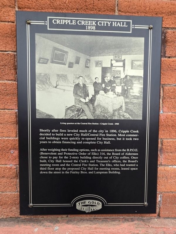
Cripple Creek City Hall 1898
| — | The Gold Belt Tour | — |
Photographed by Mark Parker, July 1, 2024
1. Cripple Creek City Hall 1898 Marker
After weighing their funding options, such as assistance from the B.P.O.E. (Benevolent and Protective Order of Elks) 316, the Board of Aldermen chose to pay for the 2-story building directly out of City coffers. Once built, City Hall housed the Clerk's and Treasurer's offices, the Board's meeting room and the Central Fire Station. The Elks, who had wanted a third floor atop the proposed City Hall for meeting rooms, leased space down the street in the Fairley Bros. and Lampman Building.
(photo caption)
Living quarters at the Central Fire Station - Cripple Creek - 1905
Topics and series. This historical marker is listed in this topic list: Government & Politics. In addition, it is included in the Colorado, Cripple Creek Gold Belt Tour series list. A significant historical year for this entry is 1896.
Location. 38° 44.809′ N, 105° 10.528′ W. Marker is in Cripple Creek, Colorado,
this page online

Regionally, this marker is in the Colorado High Rockies and in Pikes Peak Region. It is also in the American Mountain West. Globally, it is in North America, the Rocky Mountains, the Western Hemisphere, the Western World, and the Anglosphere.
Other nearby markers. At least 8 other markers are within walking distance of this marker: Bowen Building 1896 (a few steps from this marker); J.S. Neall Block 1896 (within shouting distance of this marker); Fairley Bros. & Lampman Building (within shouting distance of this marker); Becker & Nolon Building (within shouting distance of this marker); Gold Mining Stock Exchange (within shouting distance of this marker); Pittsburg Building 1896 (about 300 feet away, measured in a direct line); Weinberg Block 1896 (about 300 feet away); "The Old Homestead House" of Myers Avenue
Photographed by Mark Parker, July 1, 2024
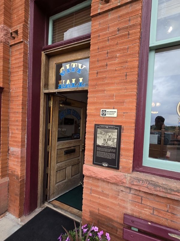
2. Cripple Creek City Hall 1898 Marker
More about this marker. Marker is to the right of the left door entrance.

Photographed by Mark Parker, July 1, 2024
3. Cripple Creek City Hall/ Fire Station
Note: Fire department is not stationed here, but is located .2 miles west on East Bennett Ave.
Credits. This page was last revised on July 9, 2024. It was originally submitted on July 7, 2024, by Mark Parker of Hickory, North Carolina. This page has been viewed 357 times since then and 54 times this year. Photos: 1, 2, 3. submitted on July 7, 2024, by Mark Parker of Hickory, North Carolina. • Andrew Ruppenstein was the editor who published this page.
