Wolcott in Naugatuck Valley Region, Connecticut — The American Northeast (New England)
Wolcott
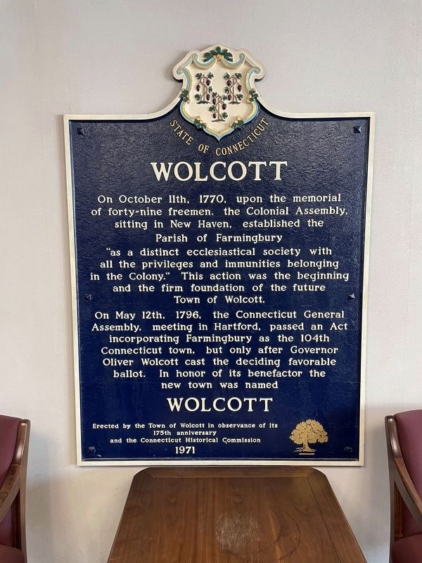
Photographed by Zachary Foti, June 28, 2024
1. Wolcott Marker
Erected 1971 by The Town of Wolcott in observance of its 175th anniversary and the Connecticut Historical Commission.
Topics. This historical marker is listed in this topic list: Political Subdivisions. A significant historical date for this entry is May 12, 1796.
Location. 41° 36.039′ N, 72° 58.476′ W. Marker is in Wolcott in Naugatuck Valley Region, Connecticut. It can be reached from the intersection of Kenea Avenue (Connecticut Route 322) and Bound Line Road. Located inside Wolcott Town Hall. Touch for map. Marker
this page online

Regionally, this marker is in the Connecticut River Valley, on the Connecticut Shoreline, and in Greater New Haven. It is also in the American Northeast and in New England. Globally, it is in North America, the Western Hemisphere, the Western World, and the Anglosphere. Historically, it finds itself in what was once New Haven County and also one of the original Thirteen Colonies.
Other nearby markers. At least 8 other markers are within 4 miles of this marker, measured as the crow flies: Wolcott Veterans Monument (within shouting distance of this marker); Kenea Soldiers Monument (within shouting distance of this marker); Wolcott’s Pride (about 300 feet away, measured in a direct line); Greystone Falls (approx. 3.3 miles away); Rochambeau (approx. 3.4 miles away); Forever Honored Forever Mourned (approx. 3½ miles away); America's Oldest Amusement Park (approx. 3.8 miles away); Memorial To Two French Soldiers (approx. 3.9 miles away). Touch for a list and map of all markers in Wolcott.
More about this marker.
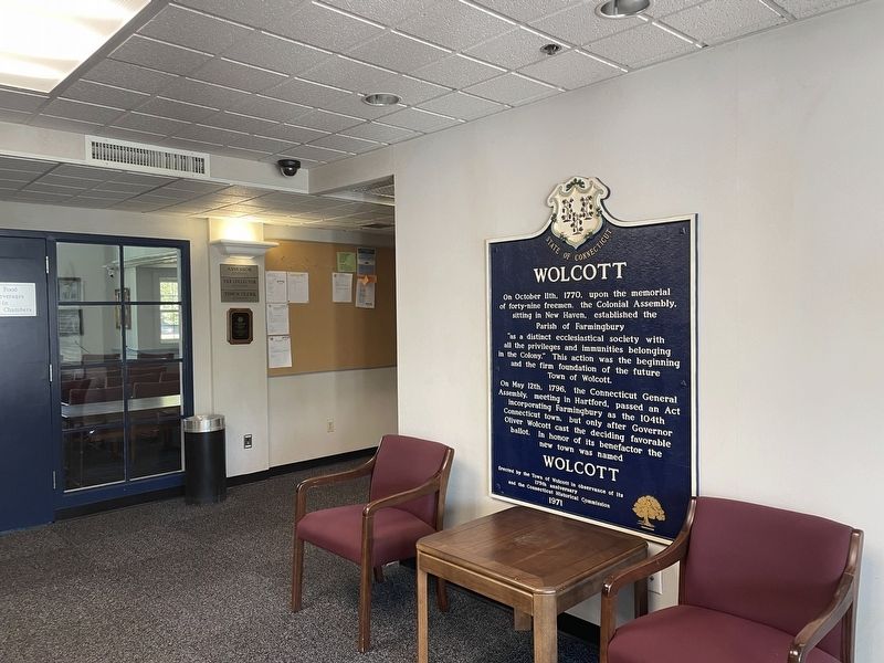
Photographed by Zachary Foti, June 28, 2024
2. Interior of Wolcott Town Hall
Credits. This page was last revised on May 19, 2026. It was originally submitted on June 27, 2024, by Zachary Foti of Southington, Connecticut. This page has been viewed 253 times since then and 38 times this year. Last updated on July 8, 2024, by Zachary Foti of Southington, Connecticut. Photos: 1. submitted on June 27, 2024, by Zachary Foti of Southington, Connecticut. 2. submitted on June 28, 2024, by Zachary Foti of Southington, Connecticut. • J. Makali Bruton was the editor who published this page.
