Florence in Fremont County, Colorado — The American Mountains (Southwest)
The City of Florence
Photographed by Mark Hilton, July 8, 2024
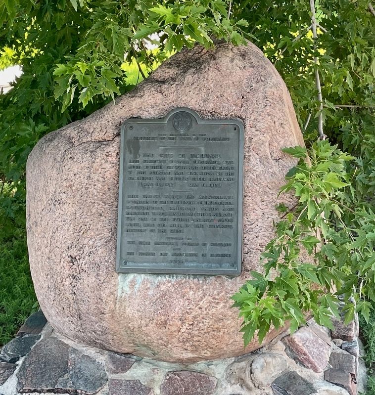
1. The City of Florence Marker
This memorial is the
property of the State of Colorado
The City of Florence
and Fremont County, Colorado owe much of their growth and development to the building and operation of the Florence and Cripple Creek Railroad (May 10, 1893 - May 10, 1915). This tablet marks the approximate location of the Florence and Cripple Creek roundhouse, railroad yards and mainline tracks. In its day, this railroad was one of the busiest narrow guage lines, mile for mile, in the colorful history of the west.
Erected 1956 by the State Historical Society of Colorado and the Pioneer Day Association of Florence.
Topics. This historical marker is listed in this topic list: Railroads & Streetcars. A significant historical date for this entry is May 10, 1893.
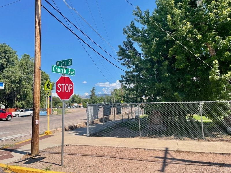
Location. 38° 23.518′ N, 105° 7.332′ W. Marker is in Florence, Colorado, in Fremont County. It is at the intersection of Church Avenue (Colorado Route 115) and West 2nd Street, on the right when traveling north on Church Avenue. Touch for map. Marker is in this post office area: Florence CO 81226, United States of America. Touch for directions.

Regionally, this marker is in the Arkansas
this page online
Other nearby markers. At least 8 other markers are within walking distance of this marker: Florence High School (about 300 feet away, measured in a direct line); Oldest Oil Field In The West (about 700 feet away); First Presbyterian Church (approx. 0.2 miles away); The Santa Fe Building (approx. 0.2 miles away); Lovell Block (approx. 0.2 miles away); Wilson Block & Wilson Annex (approx. 0.2 miles away); Andrews Block (approx. 0.2 miles away); The Mezzanine Antiques and Collectibles, LLC (approx. 0.2 miles away). Touch for a list and map of all markers in Florence.
More about this marker. Located within the fenced grounds of the Emergent Campus (formerly Florence High School). Viewable from outside the fence of the private property.
Photographed by Mark Hilton, July 8, 2024
2. The City of Florence Marker (in center & slighty visible).
Photographed by Mark Hilton, July 8, 2024
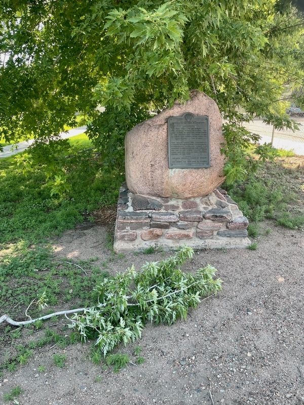
3. The City of Florence Marker
Credits. This page was last revised on July 14, 2024. It was originally submitted on July 9, 2024, by Mark Hilton of Montgomery, Alabama. This page has been viewed 305 times since then and 79 times this year. Photos: 1, 2, 3. submitted on July 9, 2024, by Mark Hilton of Montgomery, Alabama.
