Marker Logo
THE HISTORICAL
MARKER DATABASE
“Bite-Size Bits of Local, National, and Global History”
Franklin Township in Indianapolis in Marion County, Indiana — The American Midwest (Great Lakes)
 

Interurban Rails
 
 
Interurban Rails Marker image. Click for full size.
Photographed by Duane and Tracy Marsteller, June 15, 2024
1. Interurban Rails Marker
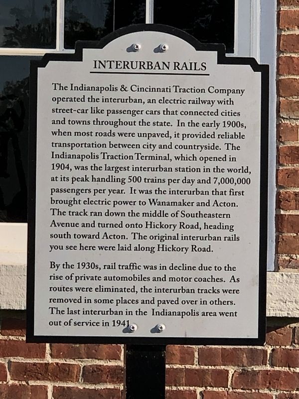
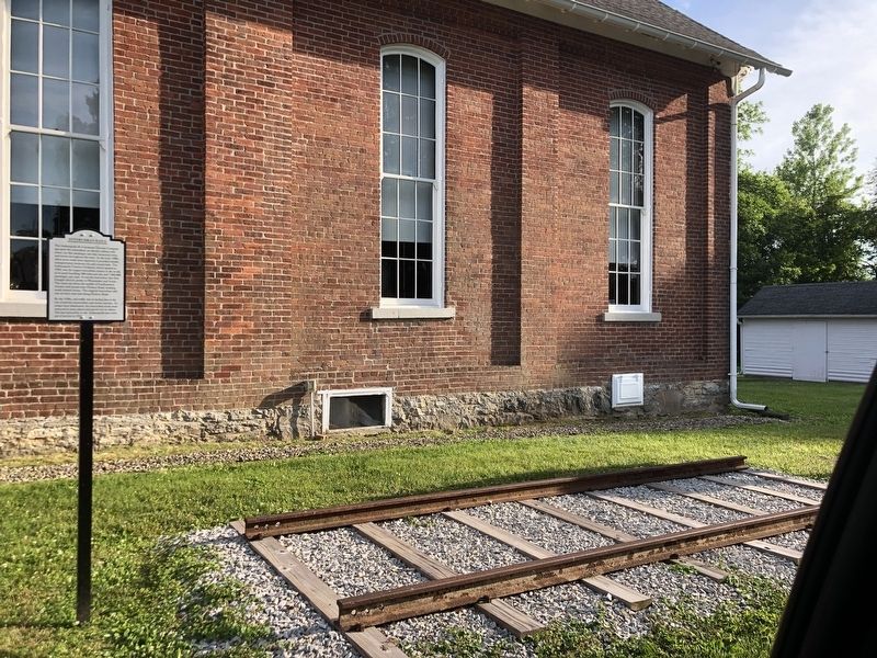
Inscription. The Indianapolis & Cincinnati Traction Company operated the interurban, an electric railway with street-car like passenger cars that connected cities and towns throughout the state. In the early 1900s, when most roads were unpaved, it provided reliable transportation between city and countryside. The Indianapolis Traction Terminal, which opened in 1904, was the largest interurban station in the world, at its peak handling 500 trains per day and 7,000,000 passengers per year. It was the interurban that first brought electric power to Wanamaker and Acton. The track ran down the middle of Southeastern Avenue and turned onto Hickory Road, heading south toward Acton. The original interurban rails you see here were laid along Hickory Road.

By the 1930s, rail traffic was in decline due to the rise of private automobiles and motor coaches. As routes were eliminated, the interurban tracks were removed in some places and paved over in others. The last interurban in the Indianapolis area went out of service in 1941.
 
Topics. This historical marker is listed in this topic list: Railroads & Streetcars. A significant historical year for this entry is 1904.
 
Location. 39° 40.437′ N,
Paid Advertisement
Click or scan to see
this page online
86° 1.128′ W. Marker is in Indianapolis, Indiana, in Marion County. It is in Franklin Township. It can be reached from the intersection of South Franklin Road and Indian Creek South Road, on the right when traveling south. Marker is at the Franklin Township Historical Society museum. Touch for map. Marker is at or near this postal address: 6510 S Franklin Rd, Indianapolis IN 46259, United States of America. Touch for directions.

Regionally, this marker is in Central Indiana. It is also in the American Midwest and in the Corn Belt. Globally, it is in North America, the Western Hemisphere, the Western World, and the Anglosphere. Historically, it finds itself in what was once the territory of the Mississippian Culture and also the Northwest Territory.

Other nearby markers. At least 8 other markers are within 6 miles of this marker, measured as the crow flies: Big Run Baptist Church (a few steps from this marker); Gallaudet Station: The Town That Never Happened (approx. 0.9 miles away); New Bethel (approx. 1.1 miles away); Anderson-Thompson House (approx. 1.9 miles away); First Presbyterian Church of Southport
Interurban Rails Marker image. Click for full size.
Photographed by Duane and Tracy Marsteller, June 15, 2024
2. Interurban Rails Marker
(approx. 4.9 miles away); Brookville Road (approx. 5 miles away); Veterans Memorial (approx. 5.1 miles away); Mary Bryan, Pioneer Woman (approx. 5.2 miles away). Touch for a list and map of all markers in Indianapolis.
 
 
Credits. This page was last revised on July 9, 2024. It was originally submitted on July 9, 2024, by Duane and Tracy Marsteller of Murfreesboro, Tennessee. This page has been viewed 213 times since then and 21 times this year. Photos:   1, 2. submitted on July 9, 2024, by Duane and Tracy Marsteller of Murfreesboro, Tennessee.

m=250685

CeraNet Cloud Computing sponsors the Historical Marker Database.
This website earns income from purchases you make after using our links to Amazon.com. We appreciate your support.
Paid Advertisement
Jul. 31, 2026
