Near Coxs Creek in Nelson County, Kentucky — The American South (East South Central)
Original Site of St. Michael's Parish
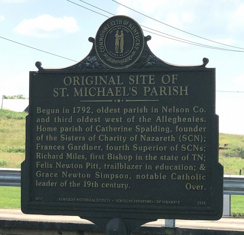
Photographed by Duane and Tracy Marsteller, June 16, 2024
1. Original Site of St. Michael's Parish Marker
Stephen Badin, first priest ordained In U.S.. was the first priest here. Guy Chabrat, first priest ordained in KY, was first resident pastor. The first Catholic parish in Louisville was a mission of St. Michael's. That parish is known today as the Cathedral of the Assumption. The church moved one mile east of this spot in 1831. The current church was built in 1883.
Erected 2017 by Kentucky Historical Society • Kentucky Department of Highways. (Marker Number 2526.)
Topics and series. This historical marker is listed in this topic list: Religion & Religious Structures. In addition, it is included in the Kentucky Historical Society series list. A significant historical year for this entry is 1792.
Location. 37° 56.397′ N, 85° 23.989′ W.
this page online

Regionally, this marker is in Greater Louisville Area. It is also in the American South and specifically in the Upper South. Globally, it is in North America, the Western Hemisphere, the Western World, and the Anglosphere. Historically, it finds itself in what was once the territory of the Mississippian Culture and also the Antebellum South.
Other nearby markers. At least 8 other markers are within 7 miles of this marker, measured as the crow flies: James Guthrie (1792-1869) (approx. 4.7 miles away); Ham Brown Log Cabin (approx. 4.7 miles away); Walnut Groves Farm (approx. 4.7 miles away); Romantic 1825 Tragedy (approx. 4.8 miles away); Cox's Station (approx. 5.3 miles away); Guerrilla Quantrill (approx. 5.4 miles away); Froman’s Road and Station / McGee’s Stone Castle
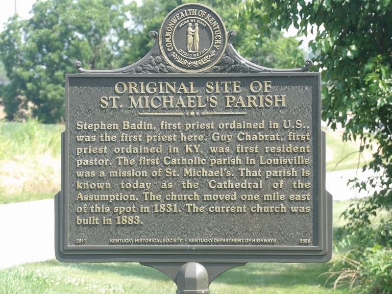
Photographed by Duane and Tracy Marsteller, June 16, 2024
2. Original Site of St. Michael's Parish Marker
Also see . . . History of St. Michael Parish. St. Michael's has a very rich history dating all the way back to 1792. It was originally established as Cox's Creek Settlement and Gardiner Station in 1792, which is also the same year Kentucky became a state. (St. Michael the Archangel Church) (Submitted on July 11, 2024, by Duane and Tracy Marsteller of Murfreesboro, Tennessee.)
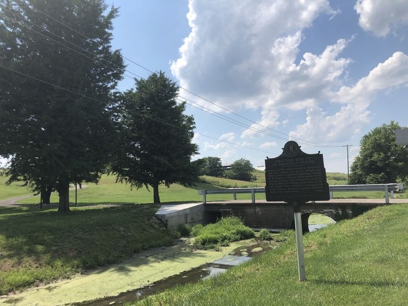
Photographed by Duane and Tracy Marsteller, June 16, 2024
3. Original Site of St. Michael's Parish Marker
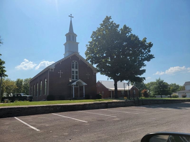
Photographed by Kevin W., August 28, 2024
4. Current St. Michael's Parish Church
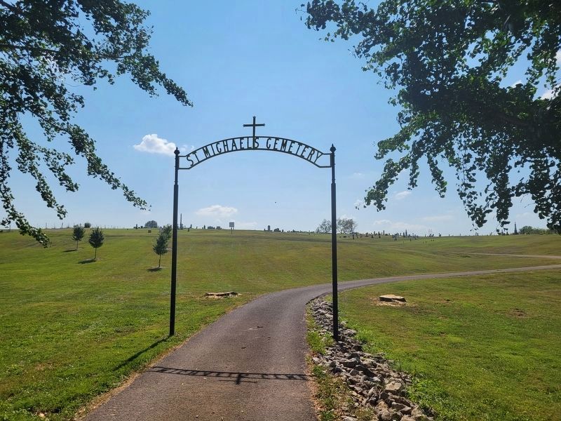
Photographed by Kevin W., August 28, 2024
5. St. Michael's Parish Cemetery
Credits. This page was last revised on August 28, 2024. It was originally submitted on July 9, 2024, by Duane and Tracy Marsteller of Murfreesboro, Tennessee. This page has been viewed 308 times since then and 48 times this year. Photos: 1, 2, 3. submitted on July 9, 2024, by Duane and Tracy Marsteller of Murfreesboro, Tennessee. 4, 5. submitted on August 28, 2024, by Kevin W. of Stafford, Virginia.
