Embro in Oxford County, Ontario — Central Canada (North America)
Donald McKenzie
1798-1884
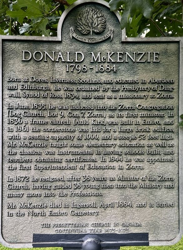
Photographed by Tim Boyd, June 28, 2024
1. Donald McKenzie Marker
Erected 1975 by The Presbyterian Church in Canada.
Topics. This historical marker is listed in these topic lists: Education •
this page online
Location. 43° 9.374′ N, 80° 53.968′ W. Marker is in Embro, Ontario, in Oxford County. It is on Saint Andrew Street 0.1 kilometers east of Huron Street, on the left when traveling east. Touch for map. Marker is at or near this postal address: 118 St Andrew St, Embro ON N0J 1J0, Canada. Touch for directions.

Regionally, this marker is in the Southwest Ontario Area and in Southwestern Ontario. It is also in Central Canada. Globally, it is in North America, the Western Hemisphere, the Western World, and the Anglosphere. Historically, it finds itself in what was once a British colony, the Viceroyalty of New France, the Haudenosaunee (Iroquois) Confederacy, and Rupert’s Land.
Other nearby markers. At least 8 other markers are within 11 kilometers of this marker, measured as the crow flies: Reverend George Leslie Mackay/ Le Révérend George Leslie Mackay/ (a few steps from this marker); Embro Cenotaph (a few steps from this marker); Henry John Cody 1868-1951 (within shouting distance of this marker); Cody’s Corners (approx. 3.9 kilometers away);
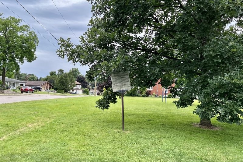
Photographed by Tim Boyd, June 28, 2024
2. Donald McKenzie Marker
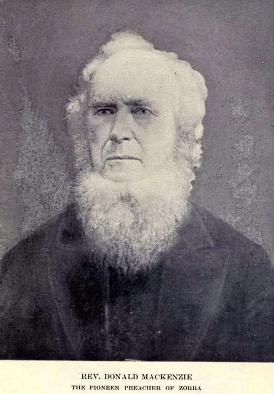
Photographed by Tim Boyd, June 28, 2024
3. Rev. Donald McKenzie
Source: Pionner Life in Zorra (public domain)
Credits. This page was last revised on July 17, 2024. It was originally submitted on July 9, 2024, by Tim Boyd of Hamilton, Ontario. This page has been viewed 357 times since then and 35 times this year. Photos: 1, 2, 3. submitted on July 9, 2024, by Tim Boyd of Hamilton, Ontario. • Bill Pfingsten was the editor who published this page.
