Grayling Township in Crawford County, Michigan — The American Midwest (Great Lakes)
Charles W. Garfield
Photographed by Joel Seewald, July 6, 2024
1. Charles W. Garfield Marker — side 1
Side 1
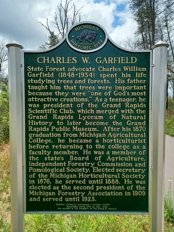
State forest advocate Charles William Garfield (1848-1934) spent his life studying trees and forests. His father taught him that trees were important because they were "one of God's most attractive creations." As a teenager, he was president of the Grand Rapids Scientific Club, which merged with the Grand Rapids Lyceum of Natural History to later become the Grand Rapids Public Museum. After his 1870 graduation from Michigan Agricultural College, he became a horticulturist before returning to the college as a faculty member. He was a member of the state's Board of Agriculture, Independent Forestry Commission and Pomological Society. Elected secretary of the Michigan Horticultural Society in 1876, he served until 1888. He was elected as the second president of the Michigan Forestry Association in 1909 and served until 1923.
Side 2
In 1881 forestry pioneer Charles W. Garfield of Grand Rapids served in the Michigan House of Representatives. A bill he introduced required that trees be planted along public roads to combat the widespread clearing of forests. It did not pass, but it established his reputation as a
this page online
Erected 2023 by Michigan Historical Commission — Michigan History. (Marker Number S765.)
Topics and series. This historical marker is listed in these topic lists: Government & Politics • Horticulture & Forestry. In addition, it is included in the Michigan Historical Commission series list. A significant historical year for this entry is 1870.
Location. 44° 36.281′ N, 84° 42.472′ W. Marker is near Grayling, Michigan, in Crawford County. It is in Grayling Township. It can be reached from Tuskegee Airmen Memorial Highway. Marker is alongside the east route of the Iron Belle Trail,

Photographed by Joel Seewald, July 6, 2024
2. Charles W. Garfield Marker — side 2

Regionally, this marker is in Northern Michigan Lower Peninsula. It is also in the American Midwest. Globally, it is in North America, the Great North Woods, the Western Hemisphere, the Western World, and the Anglosphere. Historically, it finds itself in what was once the Northwest Territory.
Other nearby markers. At least 8 other markers are within 4 miles of this marker, measured as the crow flies: Forest Resources (within shouting distance of this marker); Forest Heritage Trail (within shouting distance of this marker); Outdoor Recreation (within shouting distance of this marker); The Return of Kirtland's Warbler (approx. 0.6 miles away); Fire and the Forest (approx. 1.6 miles away); The Railroad (approx. 3.2 miles away); M60 Tank (approx. 3.8 miles away); The 75 MM Pack Howitzer (approx. 3.8 miles away). Touch for a list and map of all markers in Grayling.
Photographed by Joel Seewald, July 6, 2024
3. Charles W. Garfield Marker
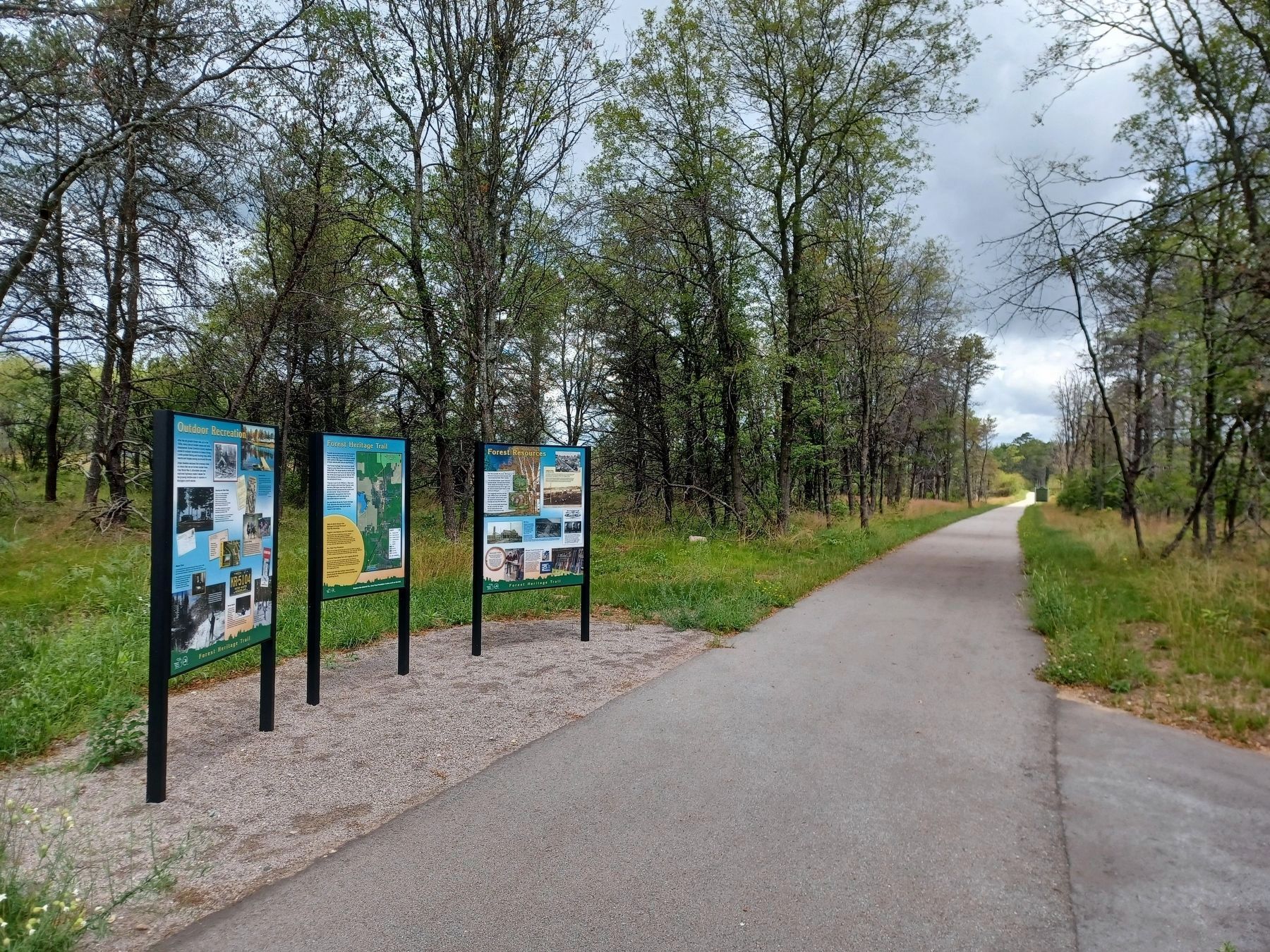
This marker is in the distance on the right side of the trail.
Credits. This page was last revised on November 17, 2025. It was originally submitted on July 9, 2024, by Joel Seewald of Madison Heights, Michigan. This page has been viewed 185 times since then and 27 times this year. Photos: 1, 2, 3. submitted on July 9, 2024, by Joel Seewald of Madison Heights, Michigan.
