Reston in Fairfax County, Virginia — The American South (Mid-Atlantic)
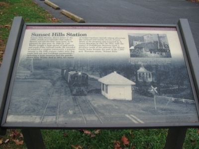
Sunset Hills Station
Photographed by Craig Swain, November 19, 2009
1. Sunset Hills Station Marker
A lumber business opened, taking advantage of the railroad and nearby stand of trees. Much of the property was acquired by A. Smith Bowman in 1927. In 1934, with the repeal of Prohibition, Bowman built a distillery north of the railroad. The Wiehle family home became the part of the 7,200-acre Bowman estate, "Sunset Hills."
Erected by The Washington & Old Dominion Railroad Regional Park - Northern Virginia Regional Park Authority.
Topics and series. This historical marker is listed in this topic list: Railroads & Streetcars. In addition, it is included in the Communal and Utopian Societies, the NOVA Parks, and the Washington and Old Dominion (W&OD) Railroad
this page online
Location. 38° 57.333′ N, 77° 21.082′ W. Marker is in Reston, Virginia, in Fairfax County. It is on Old Reston Avenue, on the right when traveling north. Located at the Sunset Hills Station trail stop. Touch for map. Marker is in this post office area: Reston VA 20190, United States of America. Touch for directions.

Regionally, this marker is in the Washington Metropolitan Area and in Northern Virginia. It is also in the American South, specifically in the Upper South, in the Mid-Atlantic, and on the Eastern Seaboard. Globally, it is in the North Atlantic Region, North America, the Western Hemisphere, the Western World, and the Anglosphere. Historically, it finds itself in what was once the territory of the Mississippian Culture, one of the original Thirteen Colonies, one of the Confederate States of America, and the Antebellum South.
Other nearby markers. At least 8 other markers are within 2 miles of this marker, measured as the crow flies: Train Wrecks (within shouting distance of this marker); Veteran's Memorial (approx. 1.1 miles away); John Wesley Powell (1834-1902)
Photographed by Craig Swain, November 19, 2009
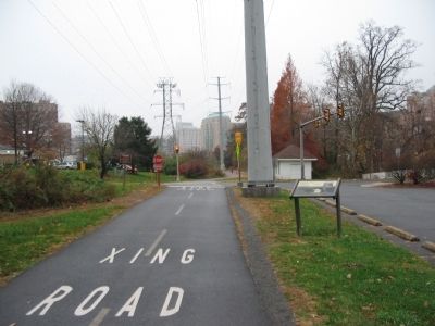
2. Sunset Hills Station Marker
More about this marker. The background of the marker is a photo of a train stopping at the Sunset Hills Station in 1967. A small inset photo on the upper right is captioned Lumber mill buildings were converted to warehouse for the Bowman distillery. It continued to operate at Sunset Hills until 1986, when it moved to Fredericksburg, Virginia.
Also see . . . W & OD Railroad. Wikipedia article offering a wealth of detail about the railroad line. (Submitted on December 3, 2009, by Craig Swain of Leesburg, Virginia.)
Photographed by Craig Swain, November 19, 2009
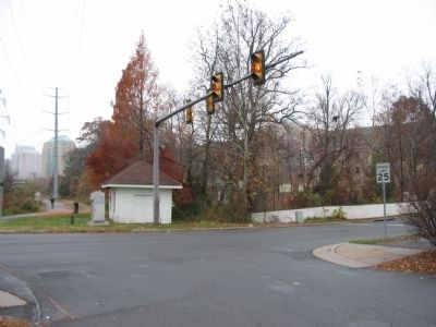
3. Sunset Hills Station Today
The gazebo mentioned on the marker stands behind the trees, just off the trail.
Photographed by Craig Swain, November 19, 2009
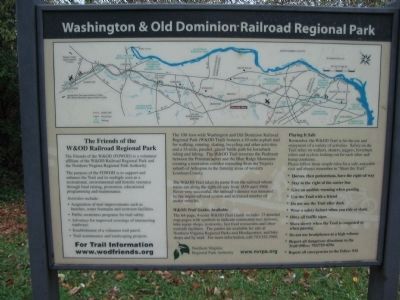
4. Informational Wayside at Sunset Hills
Credits. This page was last revised on June 16, 2016. It was originally submitted on December 3, 2009, by Craig Swain of Leesburg, Virginia. This page has been viewed 3,524 times since then and 91 times this year. Photos: 1, 2, 3, 4. submitted on December 3, 2009, by Craig Swain of Leesburg, Virginia.
