Near Ventura in Ventura County, California — The American West (Pacific Coastal)
San Buenaventura Water Works Project
Photographed by Craig Baker
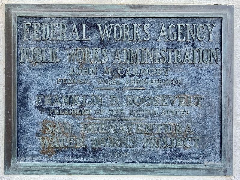
1. Water Works Project Marker
Federal Works Agency, Public Works Administration.
John M. Carmody, Federal Works Administrator.
Franklin D. Roosevelt, President of the United States.
San Buenaventura Water Works Project.
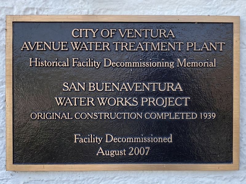
City of Ventura
Avenue Water Treatment Plant
Historical Facility Decommissioning Memorial
San Buenaventura Water Works Project
Original construction completed 1939
Facility decommissioned August 2007
Erected 1939 by Public Works Administration, and City of Ventura.
Topics and series. This historical marker is listed in these topic lists: Industry & Commerce • Natural Resources. In addition, it is included in the Works Progress Administration (WPA) projects series list. A significant historical year for this entry is 1939.
Location. 34° 20.598′ N, 119° 17.675′ W. Marker is near Ventura, California, in Ventura County. It is on North Ventura Avenue north of Cañada Larga Road, on the left when traveling north. This facility is not open to the public. It can be viewed from a distance through a fence. Touch for map. Marker is at or near this postal address: 5895 N Ventura Ave,
this page online

Regionally, this marker is in Greater Los Angeles, on the Central Coast, and in the Transverse Ranges. It is also on the American Pacific Coast. Globally, it is in North America, on the Ring of Fire, on the Pacific Rim, in the Western Hemisphere, in the Western World, and in the Anglosphere. Historically, it finds itself in what was once New Spain and also Mexico’s Alta California.
Other nearby markers. At least 8 other markers are within 5 miles of this marker, measured as the crow flies: Rancho Cañada Larga (approx. 0.2 miles away); San Buenaventura Mission Aqueduct (approx. ¼ mile away); Santa Gertrudis Asistencia (approx. 0.3 miles away); Foster Park (approx. one mile away); Casa de Anza (approx. 3.8 miles away); Serra Cross (approx. 4 miles away); San Buenaventura Mission Cross (approx. 4.1 miles away); Old County Court House (approx. 4.2 miles away). Touch for a list and map of all markers in Ventura.
Photographed by Craig Baker, July 9, 2024
2. Water Works Project Marker

Photographed by Craig Baker, July 9, 2024
3. Water Works Project Markers
Photographed by Craig Baker, July 9, 2024
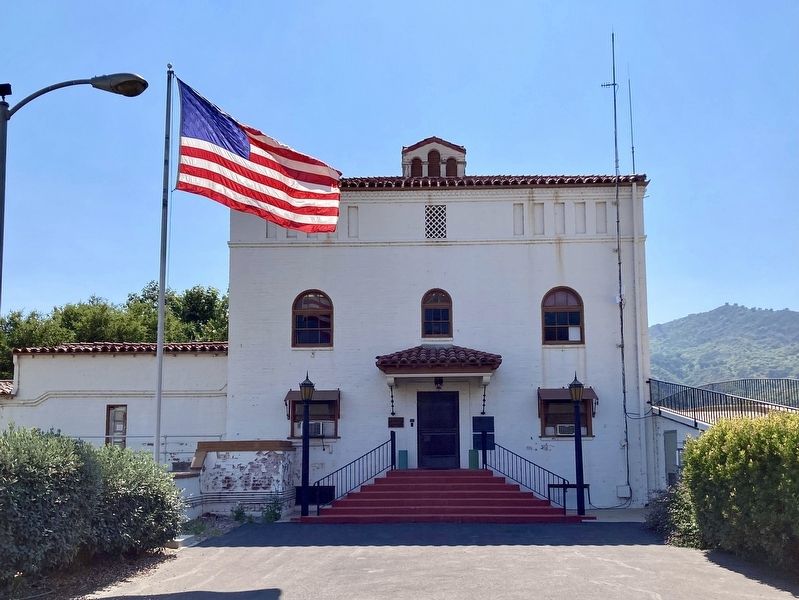
4. San Buenaventura Water Works
Credits. This page was last revised on July 16, 2024. It was originally submitted on July 10, 2024, by Craig Baker of Sylmar, California. This page has been viewed 254 times since then and 43 times this year. Photos: 1, 2, 3, 4. submitted on July 10, 2024, by Craig Baker of Sylmar, California.
