Winter Hill in Somerville in Middlesex County, Massachusetts — The American Northeast (New England)
Winter Hill Station
Photographed by Marc Posner, April 8, 2024
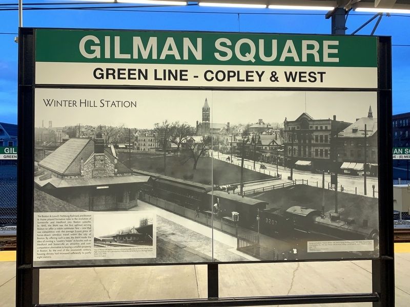
1. Winter Hill Station Marker
The Boston & Lowell, Fitchburg Railroad, and Boston & Maine played formative roles in the evolution of Somerville and Medford into Boston suburbs. In 1845, the B&M was the first railroad serving Boston to offer a viable commuter fare - one that was competitive with the average 5-cent price of horse-drawn omnibus travel within the city of Boston. By offering such a rate, the B&M made the idea of owning a "country house" in locales such as Medford and Somerville an attractive and cost-competitive alternative to buying a smaller property in Boston. By the end of the nineteenth century, housing density had increased sufficiently to justify eight stations.
( photo caption )
— View of Winter Hill Station, looking southeast towards Central Hill Park with the Latin High School (built 1871; demolished 1928) on the site of the Somerville High School, shown circa 1910. Historic New England.
Topics. This historical marker is listed in this topic list: Railroads & Streetcars. A significant historical year for this entry is 1845.
Location. 42° 23.27′ N, 71° 5.805′ W. Marker is in Somerville, Massachusetts, in Middlesex County. It is
this page online

Regionally, this marker is in Historic Boston and specifically in Greater Boston. It is also in the American Northeast, in New England, and on the Eastern Seaboard. Globally, it is in the North Atlantic Region, North America, the Western Hemisphere, the Western World, and the Anglosphere. Historically, it finds itself in what was once one of the original Thirteen Colonies.
Other nearby markers. At least 8 other markers are within walking distance of this marker: Gilman Square (a few steps from this marker); The First Congregational Unitarian Society in Somerville (about 500 feet away, measured in a direct line); George Dilboy (about 600 feet away); Edward Leathers Community Park (about 800 feet away); The French Redoubt (approx. 0.2 miles away); Edward L. Leathers (approx. 0.2 miles
Photographed by Marc Posner, June 21, 2024
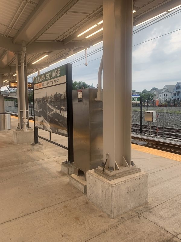
2. Marker on MBTA platform
Credits. This page was last revised on July 14, 2024. It was originally submitted on July 10, 2024, by Marc Posner of Somerville, Massachusetts. This page has been viewed 303 times since then and 46 times this year. Photos: 1, 2. submitted on July 10, 2024, by Marc Posner of Somerville, Massachusetts. • Michael Herrick was the editor who published this page.
