Huntington in Huntington County, Indiana — The American Midwest (Great Lakes)
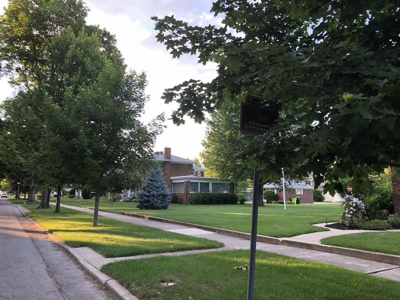
Hawley Heights Historic District
Established 28 September 2003
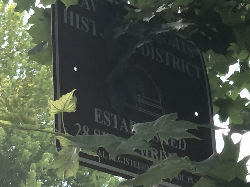
Photographed by Duane and Tracy Marsteller, June 14, 2024
1. Hawley Heights Historic District Marker
Topics and series. This historical marker is listed in these topic lists: Architecture • Industry & Commerce. In addition, it is included in the National Register of Historic Places (NRHP) series list. A significant historical year for this entry is 1914.
Location. 40° 53.27′ N, 85° 30.221′ W. Marker is in Huntington, Indiana, in Huntington County. It is at the intersection of Poplar Street and Collins Street, on the right when traveling north on Poplar Street. Touch for map. Marker is at or near this postal address: 1215 Poplar St, Huntington IN 46750, United States of America. Touch for directions.

Regionally, this marker is in Northern Indiana. It is also in the American Midwest and in the Corn Belt. Globally, it is in North America, the Western Hemisphere, the Western World, and the Anglosphere. Historically, it finds itself in what was once the territory of the Mississippian Culture and also the Northwest Territory.
Other nearby markers. At least 8 other markers are within walking distance of this marker: A different marker also named Hawley Heights Historic District
this page online
Regarding Hawley Heights Historic District. Excerpts from the National Register nomination:
The Hawley Heights Historic District is significant to the history of Huntington as an example of twentieth century residential development. The first lot went on sale in 1914, but the residential area was not completely developed until the late 1960s. Hawley Heights is atypical of local development of the period; it presented one of the first opportunities for Huntington residents to become part of a “planned neighborhood” that wasdistinct from the nineteenth century homes that lined Jefferson Street (US Highway 224) to the east and farmland around it. …Photographed by Duane and Tracy Marsteller, June 14, 20242. Hawley Heights Historic District Marker
Wesley W. Hawley, an early Huntington entrepreneur, acquired land in the northwest corner of Huntington in 1893 in anticipation (purely speculative) that this parcel of land would eventually be bought up by a railroad. The rumor of impending arrival of a large maintenance facility in conjunction with railroad development proved to be just that, a rumor; the untimely and simultaneous arrival of the financial panic of 1893 effectively terminated any new railroad development and Hawley was left with his dream unfulfilled. Hawley platted the land and it remained undeveloped.…
In 1914, a group of developers (they identified themselves as sub-dividers) organized as Collins, Gauntlett & Harter (CG&H) bought Hawley’s land and some of the land surrounding his original purchase. … In June 1914, 78 lots went on sale for the first time.
Also see . . . Hawley Heights Historic District (PDF). National Register nomination for the district, which encompasses nearly 90 residences in a variety of architectural styles.
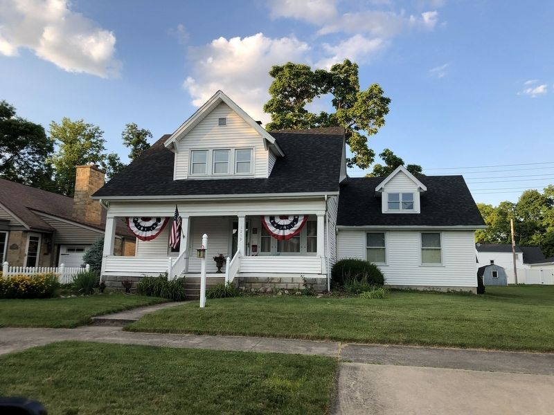
Photographed by Duane and Tracy Marsteller, June 14, 2024
3. Hawley Heights Historic District
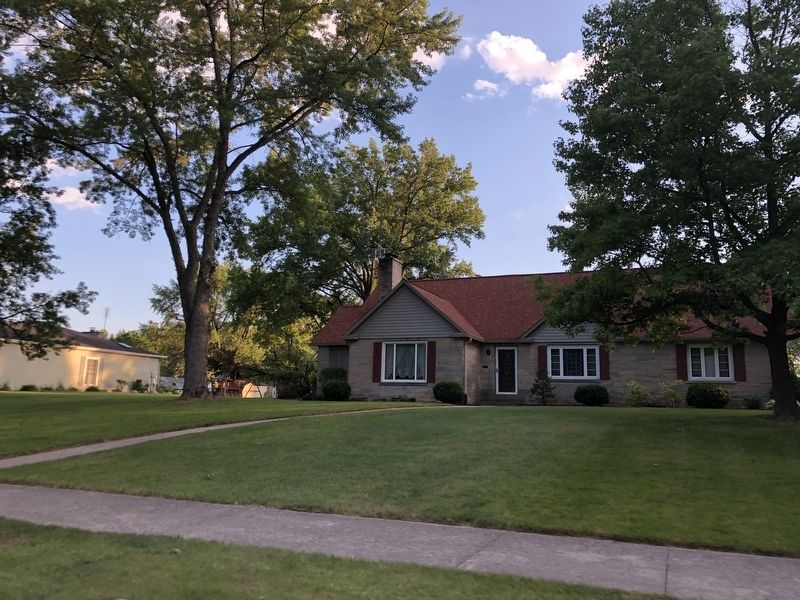
Photographed by Duane and Tracy Marsteller, June 14, 2024
4. Hawley Heights Historic District
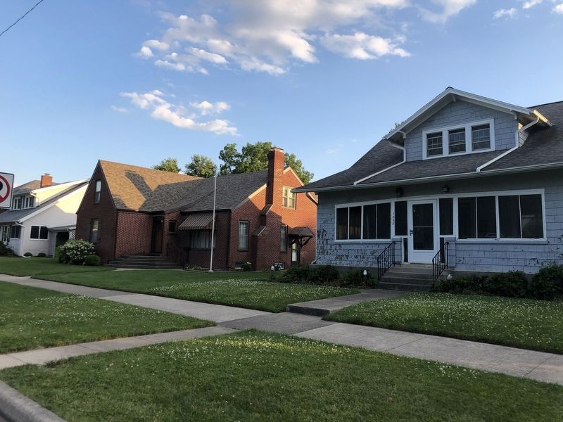
Photographed by Duane and Tracy Marsteller, June 14, 2024
5. Hawley Heights Historic District
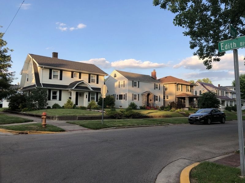
Photographed by Duane and Tracy Marsteller, June 14, 2024
6. Hawley Heights Historic District
Credits. This page was last revised on July 11, 2024. It was originally submitted on July 11, 2024, by Duane and Tracy Marsteller of Murfreesboro, Tennessee. This page has been viewed 95 times since then and 11 times this year. Photos: 1, 2, 3, 4, 5, 6. submitted on July 11, 2024, by Duane and Tracy Marsteller of Murfreesboro, Tennessee.
