Fort Recovery in Mercer County, Ohio — The American Midwest (Great Lakes)
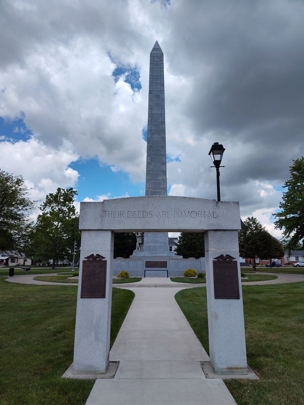
Memorial Arch
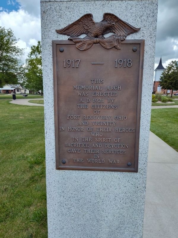
1917 - 1918
Photographed by Craig Doda, July 6, 2024
1. Memorial Arch Marker
In honor of their heroes who in the spirit of sacrifice and devotion gave their services in The World War.
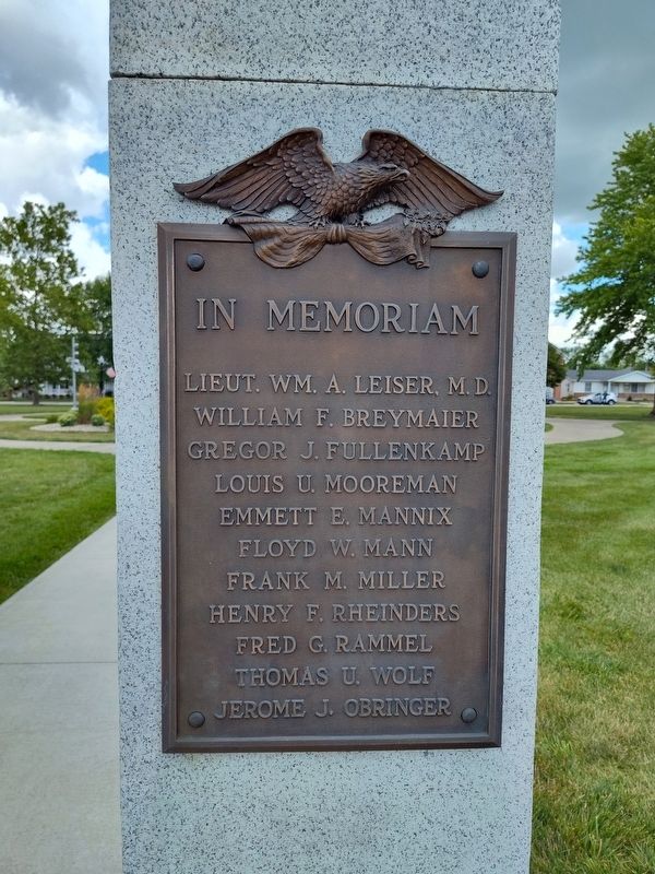
In memoriam
Lieut. Wm. A. Leiser, M. D. • William F. Breymaier • Gregor J. Fullenkamp • Louis U. Mooreman • Emmett E. Mannix • Floyd W. Mann • Frank M. Miller • Henry F. Rheinders • Fred G. Rammel • Thomas U. Wolf • Jerome J. Obringer
Erected 1921 by Citizens of Fort Recovery, Ohio and vicinity.
Topics. This memorial is listed in this topic list: War, World I.
Location. 40° 24.779′ N, 84° 46.552′ W. Memorial is in Fort Recovery, Ohio, in Mercer County. It is at the intersection of Butler Street (Ohio Route 119) and North Elm Street, on the right when traveling west on Butler Street. Touch for map. Memorial is at or near this postal address: 302e Butler St, Fort Recovery OH 45846, United States of America. Touch for directions.

Regionally, this memorial is in the Till Plains. It is also in the American Midwest and in the Corn Belt. Globally, it is in North America,
this page online
Other nearby markers. At least 8 other markers are within walking distance of this marker: Dr. Victor Grasson (within shouting distance of this marker); Fort Recovery Monument (within shouting distance of this marker); St. Clair's Defeat / Fort Recovery (within shouting distance of this marker); Fort Recovery Civil War Veterans Memorial (within shouting distance of this marker); Veterans Memorial Arch (within shouting distance of this marker); Fort Recovery Veterans Plaza (within shouting distance of this marker); Towards a Better Understanding / Remembering the Fallen (about 300 feet away, measured in a direct line); Weaponry at the Battle of the Wabash and the Battle of Fort Recovery (approx. 0.2 miles away). Touch for a list and map of all markers in Fort Recovery.
Photographed by Craig Doda, July 6, 2024
2. Memorial Arch Marker
Photographed by Craig Doda, July 6, 2024
3. Memorial Arch Marker
Credits. This page was last revised on July 24, 2024. It was originally submitted on July 11, 2024, by Craig Doda of Napoleon, Ohio. This page has been viewed 151 times since then and 22 times this year. Photos: 1, 2, 3. submitted on July 11, 2024, by Craig Doda of Napoleon, Ohio. • Bill Pfingsten was the editor who published this page.
