Anna in Shelby County, Ohio — The American Midwest (Great Lakes)
The Old Anna School Bell
Photographed by Craig Doda, June 29, 2024
1. The Old Anna School Bell Marker
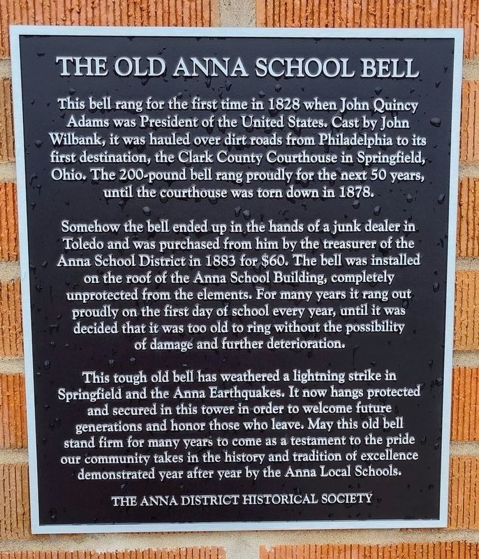
This bell rang for the first time in 1828 when John Quincy Adams was President of the United States. Cast by John Wilbank, it was hauled over dirt roads from Philadelphia to its first destination, the Clark County Courthouse in Springfield, Ohio. The 200-pound bell rang proudly for the next 50 years, until the courthouse was torn down in 1878.
Somehow the bell ended up in the hands of a junk dealer in Toledo and was purchased from him by the treasurer of the Anna School District in 1883 for $60. The bell was installed on the roof of the Anna School Building, completely unprotected from the elements. For many years it rang out proudly on the first day of school every year, until it was decided that it was too old to ring without the possibility of damage and further deterioration.
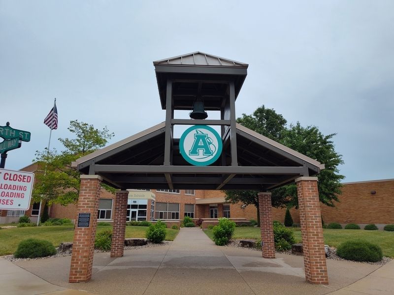
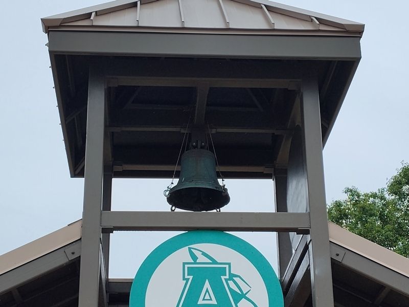
This tough old bell has weathered a lightning strike in Springfield and the Anna Earthquakes. It now hangs protected and secured in this tower in order to welcome future generations and honor those who leave. May this old bell stand firm for many years to come as a testament to the pride our community takes in the history and tradition
this page online
Erected by The Anna District Historical Society.
Topics and series. This historical marker is listed in these topic lists: Communications • Education. In addition, it is included in the Historic Bells series list. A significant historical year for this entry is 1828.
Location. 40° 23.78′ N, 84° 10.6′ W. Marker is in Anna, Ohio, in Shelby County. It is on McRill Way north of West North Street, on the right when traveling north. Touch for map. Marker is at or near this postal address: 2 McRill Way, Anna OH 45302, United States of America. Touch for directions.

Regionally, this marker is in the Till Plains. It is also in the American Midwest and in the Corn Belt. Globally, it is in North America, the Western Hemisphere, the Western World, and the Anglosphere. Historically, it finds itself in what was once the Haudenosaunee (Iroquois) Confederacy, the territory of the Mississippian Culture, and the Northwest Territory.
Other nearby markers. At least 8 other markers are within 4 miles of this marker, measured as the crow flies: John W. Carey (about
Photographed by Craig Doda, June 29, 2024
2. The Old Anna School Bell Marker
Another marker is no longer nearby. Rumley (was approx. 3.7 miles away but has been confirmed missing).
Photographed by Craig Doda, June 29, 2024
3. The Old Anna School Bell Marker
Credits. This page was last revised on July 25, 2024. It was originally submitted on July 11, 2024, by Craig Doda of Napoleon, Ohio. This page has been viewed 173 times since then and 24 times this year. Photos: 1, 2, 3. submitted on July 11, 2024, by Craig Doda of Napoleon, Ohio. • Devry Becker Jones was the editor who published this page.
