Winchester in Hampshire, England, United Kingdom — Northwestern Europe (the British Isles)
The Pentice
Photographed by Ray Gurganus, April 2, 2024
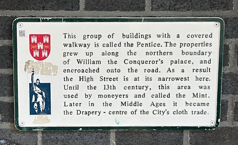
1. The Pentice Marker
Inscription.
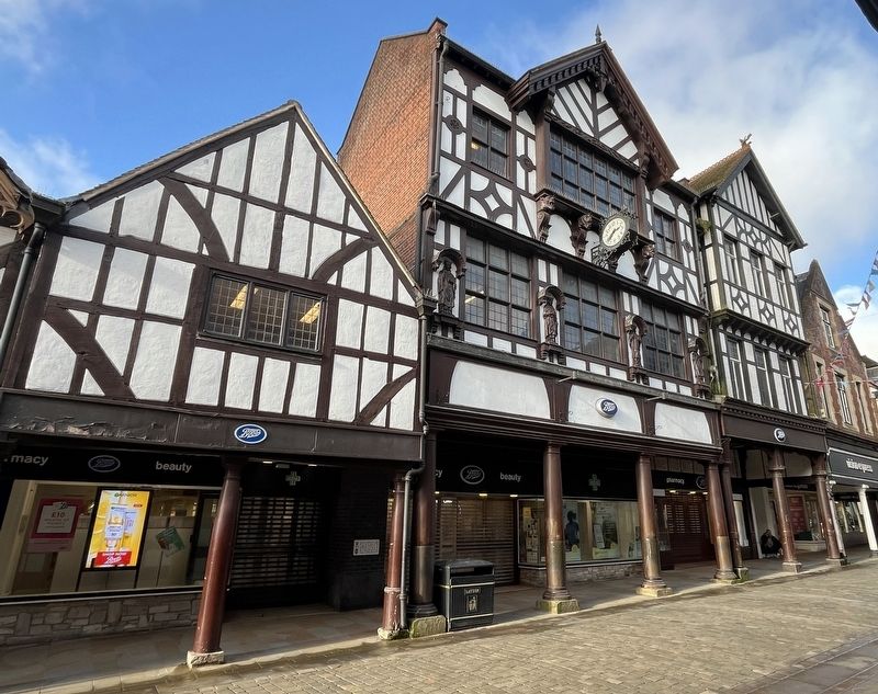
The Pentice. . This group of buildings with a covered walkway is called the Pentice. The properties grew up along the northern boundary of William the Conqueror's palace, and encroached onto the road. As a result the High Street is at its narrowest here. Until the 13th century, this area was used by moneyers and called the Mint. Later in the Middle Ages it became the Drapery centre of the City's cloth trade.
This group of buildings with a covered walkway is called the Pentice. The properties grew up along the northern boundary of William the Conqueror's palace, and encroached onto the road. As a result the High Street is at its narrowest here. Until the 13th century, this area was used by moneyers and called the Mint. Later in the Middle Ages it became the Drapery centre of the City's cloth trade.
Topics. This historical marker is listed in this topic list: Industry & Commerce.
Location. 51° 3.752′ N, 1° 18.861′ W. Marker is in Winchester, England, in Hampshire. It is on High Street, on the right when traveling east. Touch for map. Marker is at or near this postal address: 113 High St, Winchester, England SO23, United Kingdom. Touch for directions.
Regionally, this marker is in the Greater South East. Globally, it is on the Atlantic Ocean, in the North Atlantic Region, in Europe, in Atlantic Europe, on one of the British Isles, in the Western World, and in the Anglosphere. Historically, it finds itself in what was once the Roman Empire.
Credits. This page was last revised on July 14, 2024. It was originally submitted on July 11, 2024, by Ray Gurganus of Washington, District of Columbia. This page has been viewed 810 times since then and 130 times this year. Photos:1, 2. submitted on July 11, 2024, by Ray Gurganus of Washington, District of Columbia. • Andrew Ruppenstein was the editor who published this page.