Natchez in Natchitoches Parish, Louisiana — The American South (West South Central)
The Battle of Bermuda Bridge

Photographed by Cajun Scrambler, July 5, 2024
1. Battle of Bermuda Bridge Marker
Before entering World War II, the U.S. Army carried out the Louisiana Maneuvers, important training for the nation's generals, including Dwight Eisenhower, Omar Bradley, and George Patton. In 1940, approximately 66,000 troops were deployed into two forces for training exercises.
The Blue Army came under fire as it approached Bermuda Bridge. The Blue Army returned fire, set up smoke screens and brought in a howitzer. An Army observer investigated and discovered the "enemy" that bested the 500-vehicle convoy was three Prud'homme boys- Alphonse, 12, Kenneth, 11, and Mayo, 9 with their new carbide-gas. foot-long, toy cannon.
Imagine telling General Patton that he lost the Battle of Bermuda Bridge to three boys! The story got national coverage when Paul Harvey told "The Rest of the Story" on his radio show.
Photo Caption
The "Big-Bang" toy cannon used by Alphonse, Kenneth and Mayo Prud'homme in the Battle of Bermuda Bridge
Erected by National Park Service, Department of the Interior, Cane River Creole National Historical Park.
Topics. This historical marker is listed in these topic lists:
this page online
Location. 31° 39.776′ N, 93° 0.059′ W. Marker is in Natchez, Louisiana, in Natchitoches Parish. It is on State Highway 119. Touch for map. Marker is at or near this postal address: 1401 Highway 119, Natchez LA 71456, United States of America. Touch for directions.

Regionally, this marker is in Central Louisiana. It is also in the American South, specifically in the Deep South, and in the Piney Woods. Globally, it is in North America, a Gulf of Mexico state, the Western Hemisphere, the Western World, and the Anglosphere. Historically, it finds itself in what was once New Spain, the Viceroyalty of New France, the territory of the Mississippian Culture, the Louisiana Purchase, one of the Confederate States of America, and the Antebellum South.
Other nearby markers. At least 8 other markers are within walking distance of this marker: Rivers, Rails and Roads (here, next to this marker); Plantation to Recreation (here, next to this marker); Plantation to Park (here, next to this marker); Building Bermuda Bridge (here, next to this marker);
Photographed by Cajun Scrambler, July 5, 2024
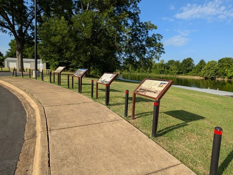
2. Battle of Bermuda Bridge Marker
More about this marker. Located at the Shell Beach Boat Ramp
Credits. This page was last revised on November 14, 2024. It was originally submitted on July 12, 2024, by Cajun Scrambler of Assumption, Louisiana. This page has been viewed 469 times since then and 64 times this year. Photos: 1, 2. submitted on July 12, 2024, by Cajun Scrambler of Assumption, Louisiana.
