Marker Logo
THE HISTORICAL
MARKER DATABASE
“Bite-Size Bits of Local, National, and Global History”
Brownwood in Brown County, Texas — The American South (West South Central)
 

Korean War

"The Forgotten War"
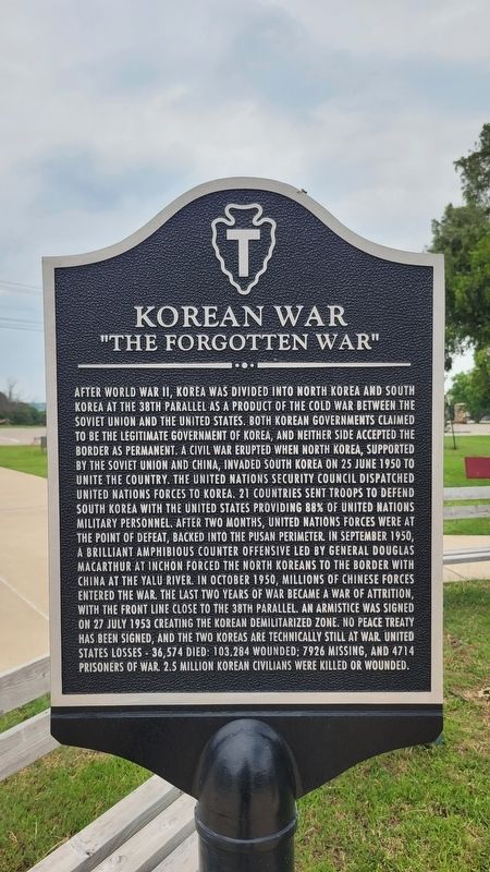
 
 
Korean War Marker image. Click for full size.
Photographed by James Hulse, May 30, 2024
1. Korean War Marker
Inscription. After World War II, Korea was divided into North Korea and South Korea at the 38th parallel as a product of the Cold War between the Soviet Union and the United States. Both Korean governments claimed to be the legitimate government of Korea, and neither side accepted the border as permanent. A civil war erupted when North Korea, supported by the Soviet Union and China, invaded South Korea on 25 June 1950 to unite the country. The United Nations Security Council dispatched United Nations forces to Korea. 21 countries sent troops to defend South Korea with the United States providing 88% of United Nations military personnel. After two months, United Nations forces were at the point of defeat, backed into the Pusan perimeter. In September 1950, a brilliant amphibious counter offensive led by General Douglas MacArthur at Inchon forced the North Koreans to the border with China at the Yalu River. In October 1950, millions of Chinese forces entered the war. The last two years of war became a war of attrition, with the front line close to the 38th parallel. An armistice was signed on 27 July 1953 creating the Korean Demilitarized Zone. No peace treaty has been signed, and the two Koreas are technically still at war. United States losses - 36,574 died; 103,284 wounded; 7926 missing, and 4714 prisoners of war. 2.5 million Korean civilians were killed or wounded.
 
Topics. This memorial is listed in this topic list: War, Korean. A significant day of the year for for this entry is May 31.
 
Location. 31° 40.675′ N, 98° 59.5′ W. Memorial is in Brownwood, Texas, in Brown County. It is at the intersection of Crockett Drive and Memorial Park Drive, on the right when traveling north on Crockett Drive. The marker is located at the northwest section of the Camp Bowie Memorial Park. Touch for map. Memorial is at or near this postal address:
Paid Advertisement
Click or scan to see
this page online
2710 Crockett Dr, Brownwood TX 76801, United States of America. Touch for directions.

Regionally, this memorial is in Big Country. Globally, it is in North America, a Gulf of Mexico state, the Western Hemisphere, the Western World, and the Anglosphere. Historically, it finds itself in what was once New Spain, the Comancherνa, the Republic of Texas, and one of the Confederate States of America.

Other nearby markers. At least 8 other markers are within walking distance of this marker: Vietnam War (here, next to this marker); George Matthew Shelton (here, next to this marker); a different marker also named George Matthew Shelton (here, next to this marker); Camp Bowie Parade Ground Flagpole (here, next to this marker); Sergeant Robert E "Bob" O'Malley (here, next to this marker); Iraq War (here, next to this marker); Operation Enduring Freedom - Afghanistan (a few steps from this marker); World War II Memorial (a few steps from this marker). Touch for a list and map of all markers in Brownwood.
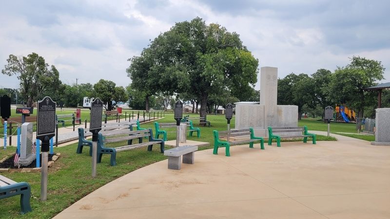
 
Korean War Marker (left side) image. Click for full size.
Photographed by James Hulse, May 30, 2024
2. Korean War Marker (left side)
 
 
Credits. This page was last revised on July 13, 2024. It was originally submitted on July 13, 2024, by James Hulse of Medina, Texas. This page has been viewed 131 times since then and 15 times this year. Photos:   1, 2. submitted on July 13, 2024, by James Hulse of Medina, Texas.

m=251049

CeraNet Cloud Computing sponsors the Historical Marker Database.
This website earns income from purchases you make after using our links to Amazon.com. We appreciate your support.
Paid Advertisement
Jul. 17, 2026
