College Hill in Providence in Providence County, Rhode Island — The American Northeast (New England)
The Gilded Age
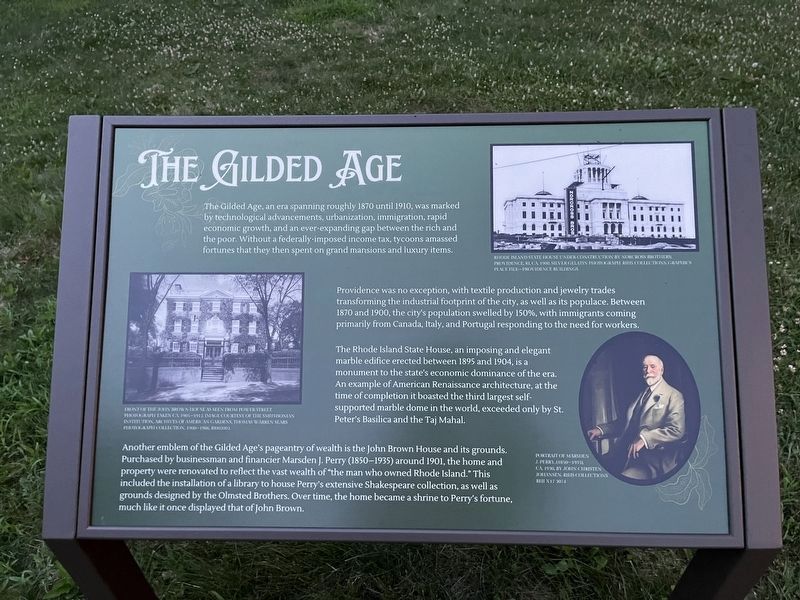
The Gilded Age, an era spanning roughly 1870 until 1910, was marked by the technological advancements, urbanization, immigration, rapid economic growth, and an ever-expanding gap between the rich and the poor. Without a federally-imposed income tax, tycoons amassed fortunes that they then spent on grand mansions and luxury items.
Providence was no exception, with textile production and jewelry trades transforming the industrial footprint of the city, as well as its populace. Between 1870 and 1900, the city's population swelled by 150%, with immigrants coming primarily from Canada, Italy, and Portugal responding to the need for workers.
The Rhode Island State House, an imposing and elegant marble edifice erected between 1895 and 1904, is a monument to the state's economic dominance of the era. An example of American Renaissance architecture, at the time of completion it boasted the third largest self-supported marble dome in the world, exceeded only by St. Peter's Basilica and the Taj Mahal.
Another emblem of the Gilded Age's pageantry of the wealth is the John Brown House and its grounds. Purchased by businessman and financier Marsden J. Perry (1850-1935) around 1901, the home property were renovated to reflect the vast wealth of "the man who owned Rhode Island." This included the installation of a library to house Perry's extensive Shakespeare collection, as well as grounds designed by the Olmsted Brothers. Over time, the home became a shrine to Perry's fortune, much like it once displayed that of John Brown.
[Captions:]
Rhode Island State House under construction by Norcross Brothers; Providence, RI, ca. 1900. Silver Gelatin photograph. RIHS Collections, Graphics Place File-Providence Buildings.
Front of the John Brown House as seen from Power Street. Photograph taken ca. 1905-1912. Image courtesy of the Smithsonian Institution, Archives of American Gardens, Thomas Warren Sears Photograph Collection, 1900-1966 RI002002.
Portrait of Marsden J. Perry, (1850-1935), ca. 1930, by John Christen Johansen, RIHS Collections RHI X17 3074
Topics.
this page online
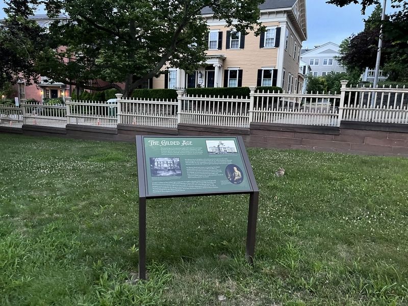
Location. 41° 49.421′ N, 71° 24.251′ W. Marker is in Providence, Rhode Island, in Providence County. It is in College Hill. It is on Charlesfield Street just east of Benefit Street, on the right when traveling east. Touch for map. Marker is at or near this postal address: 2 Charlesfield St, Providence RI 02906, United States of America. Touch for directions.

Regionally, this marker is in the Blackstone Valley and on Narragansett Bay. It is also in the American Northeast, in New England, and on the Eastern Seaboard. Globally, it is in the North Atlantic Region, North America, the Western Hemisphere, the Western World, and the Anglosphere. Historically, it finds itself in what was once one of the original Thirteen Colonies.
Other nearby markers. At least 8 other markers are within walking distance of this marker: The Ives-Gammell House (a few steps from this marker); The Path Before Us (within shouting distance of this marker); The Olmsted Plan (within
Credits. This page was last revised on July 14, 2024. It was originally submitted on July 14, 2024, by Devry Becker Jones of Washington, District of Columbia. This page has been viewed 237 times since then and 17 times this year. Photos: 1, 2. submitted on July 14, 2024, by Devry Becker Jones of Washington, District of Columbia.
Editor’s want-list for this marker. Clear, daylight photos of the marker and its context. • Can you help?
