Near Springfield in Greene County, Missouri — The American Midwest (Upper Plains)
Mt. Pisgah United Methodist Church and Camp Ground
Photographed by Duane and Tracy Marsteller, June 29, 2024
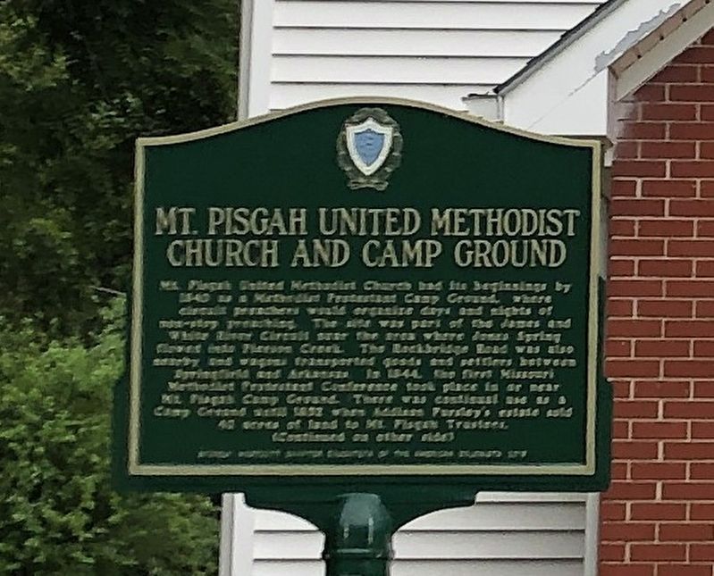
1. Mt. Pisgah United Methodist Church and Camp Ground Marker, Side One
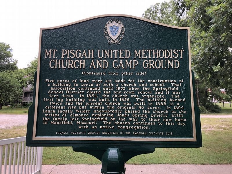
Five acres of land were set aside for the construction of a building to serve as both a church and school. That association continued until 1952 when the Springfield School District closed the one-room school and it was torn down. In 1854, the church was organized. The first log building was built in 1856. The building burned twice and the present church was built in 1888 at a different site but within the original 40 acres. In 1894 Laura Ingalls Wilder undoubtedly
this page online
Erected 2019 by Stukely Westcott Chapter, Daughters of the American Colonists.
Topics. This historical marker is listed in this topic list: Religion & Religious Structures. A significant historical year for this entry is 1840.
Location. 37° 11.304′ N, 93° 12.005′ W. Marker is near Springfield, Missouri, in Greene County. It is at the intersection of S Leaning Tree Lane and East Catalpa Street (Farm to Market Road 144), on the right when traveling north on S Leaning Tree Lane. Touch for map. Marker is at or near this postal address: 4515 E Farm Rd 144, Springfield MO 65809, United States of America. Touch for directions.

Regionally, this marker is in the American Ozarks, in the Lewis & Clark Corridor, and in the Corn Belt. Globally, it is in North America, the Western Hemisphere, the Western World, and the Anglosphere. Historically, it finds itself in what was once the territory of the Mississippian
Photographed by Duane and Tracy Marsteller, June 29, 2024
2. Mt. Pisgah United Methodist Church and Camp Ground Marker, Side Two
Other nearby markers. At least 8 other markers are within 4 miles of this marker, measured as the crow flies: Lincoln Memorial Cemetery (approx. 3.3 miles away); Gettysburg Address (approx. 3.3 miles away); Sequiota Park (approx. 3½ miles away); A National Cemetery System (approx. 3.7 miles away); Veterans Memorial (approx. 3.7 miles away); Springfield National Cemetery (approx. 3.7 miles away); Revolutionary War Memorial (approx. 3.7 miles away); Pearl Harbor Memorial (approx. 3.7 miles away). Touch for a list and map of all markers in Springfield.
Also see . . . Methodist Church East of Springfield Stands The Test Of Time. A little ways to the east of the Springfield city limits, in a pastoral, wooded setting, is an old white church, which still holds services every Sunday. The current Mt. Pisgah United Methodist Church was built in 1888, just over two decades after the Civil War ended and 50 years after Springfield was incorporated. (Michele Skalicky, KSMU Radio, Aug. 15, 2019) (Submitted on July 14, 2024, by Duane and Tracy Marsteller of Murfreesboro, Tennessee.)
Photographed by Duane and Tracy Marsteller, June 29, 2024
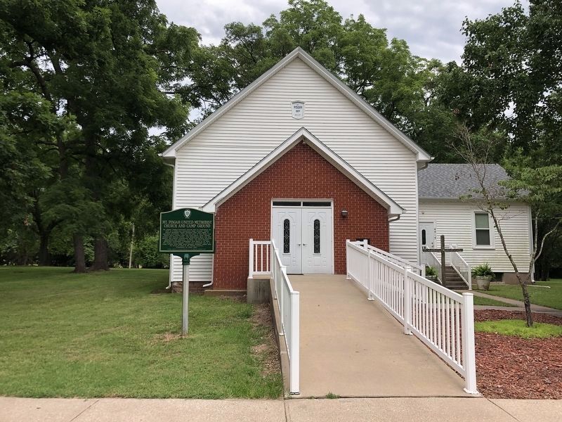
3. Mt. Pisgah United Methodist Church and Camp Ground Marker
Credits. This page was last revised on November 22, 2024. It was originally submitted on July 14, 2024, by Duane and Tracy Marsteller of Murfreesboro, Tennessee. This page has been viewed 368 times since then and 33 times this year. Photos: 1, 2, 3. submitted on July 14, 2024, by Duane and Tracy Marsteller of Murfreesboro, Tennessee.
