Holdrege in Phelps County, Nebraska — The American Midwest (Upper Plains)
Phelps County

Photographed by Mark Hilton, July 10, 2024
1. Phelps County Marker
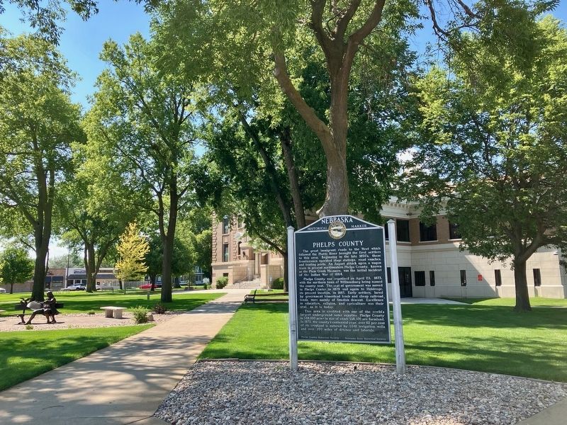
Phelps County was organized on April 23, 1873, with the northern town of Williamsburg being named the county seat. The seat of government was moved to Phelps Center in 1879 and again to Holdrege, its present location, in 1883. Early settlers, lured by government homestead lands and cheap railroad lands, were mainly of Swedish descent. Excellence in education, religion, and agriculture was their goal, as it is today.
This area is credited with one of the world’s largest underground water supplies. Phelps County is 348,000 acres in size of which 338,300 are farmland. In 1973, the county’s centennial year, over 62% of its cropland is watered by 1,041 irrigation wells and over 350 miles of ditches and laterals.
Erected by Nebraska State Historical
this page online
Topics and series. This historical marker is listed in these topic lists: Political Subdivisions • Settlements & Settlers. In addition, it is included in the Nebraska State Historical Society series list. A significant historical date for this entry is April 23, 1873.
Location. 40° 26.349′ N, 99° 22.205′ W. Marker is in Holdrege, Nebraska, in Phelps County. It is at the intersection of 5th Avenue and East Avenue, on the right when traveling west on 5th Avenue. Located at the SE corner of the Phelps County Courthouse. Touch for map. Marker is at or near this postal address: 715 5th Ave, Holdrege NE 68949, United States of America. Touch for directions.

Regionally, this marker is in Eastern Nebraska. It is also in the American Midwest, in the Corn Belt, and on the prairies. Globally, it is in North America, the Western Hemisphere, the Western World, and the Anglosphere. Historically, it finds itself in what was once the Louisiana Purchase.
Other nearby markers. At least 5 other markers are within 10 miles of this marker, measured as the crow flies: Holdrege Silt Loam - The Nebraska State Soil
Photographed by Mark Hilton, July 10, 2024
2. Phelps County Marker at Phelps County Courthouse.
Also see . . . History of Phelps County, Nebraska. (Submitted on July 14, 2024, by Mark Hilton of Montgomery, Alabama.)
Credits. This page was last revised on December 22, 2024. It was originally submitted on July 14, 2024, by Mark Hilton of Montgomery, Alabama. This page has been viewed 199 times since then and 40 times this year. Photos: 1, 2. submitted on July 14, 2024, by Mark Hilton of Montgomery, Alabama.
