
Harvard in Clay County, Nebraska — The American Midwest (Upper Plains)
Harvard
Photographed by Mark Hilton, July 11, 2024
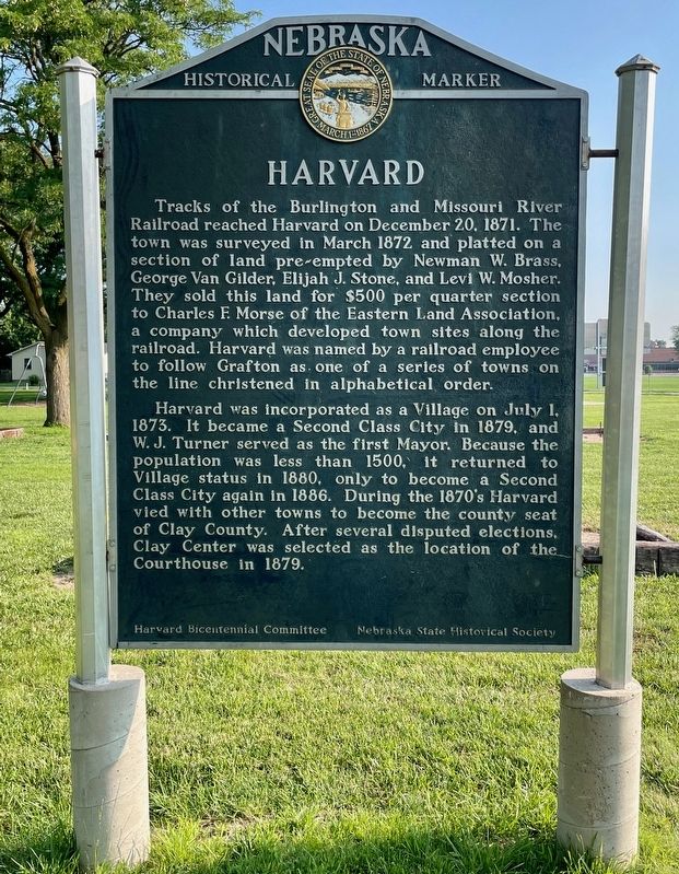
1. Harvard Marker
Harvard was incorporated as a Village on July 1, 1873. It became a Second Class City in 1879, and W. J. Turner served as the first Mayor. Because the population was less than 1500, it returned to Village status in 1880, only to become a Second Class City again in 1886. During the 1870’s Harvard vied with other towns to become the county seat of Clay County. After several disputed elections, Clay Center was selected as the location of the Courthouse in 1879.
Erected by Nebraska State Historical Society, Harvard Bicentennial Committee. (Marker Number 191.)
Topics and series. This
this page online
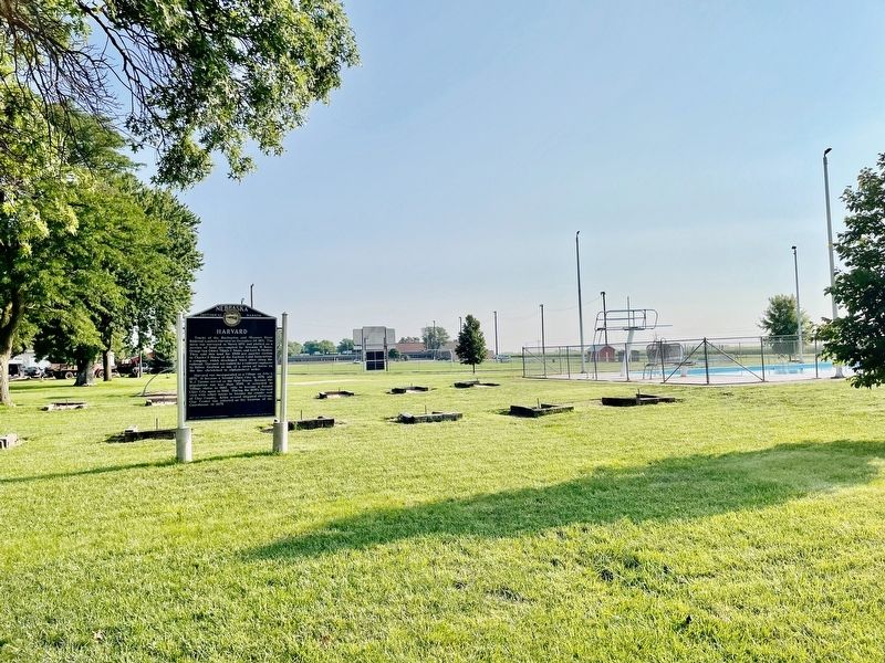
Location. 40° 37.147′ N, 98° 5.493′ W. Marker is in Harvard, Nebraska, in Clay County. It is on East Walnut Street 0.1 miles west of Airport Road, on the right when traveling west. Located just to the west of the Harvard Public Pool. Touch for map. Marker is at or near this postal address: 505 E Walnut St, Harvard NE 68944, United States of America. Touch for directions.

Regionally, this marker is in the Smoky Hills and in Eastern Nebraska. It is also in the American Midwest, in the Corn Belt, and on the prairies. Globally, it is in North America, the Western Hemisphere, the Western World, and the Anglosphere. Historically, it finds itself in what was once the Louisiana Purchase.
Other nearby markers. At least 8 other markers are within 7 miles of this marker, measured as the crow flies: Midair Collision of B-17 Bombers (approx. ¼ mile away); Harvard Army Air Field (approx. ¼ mile away); Harvard Veterans Memorial
Photographed by Mark Hilton, July 11, 2024
2. Harvard Marker with city pool on right.
Also see . . . History of Harvard, Nebraska by A. T. Andreas. (Submitted on July 14, 2024, by Mark Hilton of Montgomery, Alabama.)
Credits. This page was last revised on July 14, 2024. It was originally submitted on July 14, 2024, by Mark Hilton of Montgomery, Alabama. This page has been viewed 330 times since then and 62 times this year. Photos: 1, 2. submitted on July 14, 2024, by Mark Hilton of Montgomery, Alabama.
