Susteren in Echt-Susteren, Limburg, Netherlands — Northwestern Europe
Kazemat
⎯⎯⎯
Casemate
Photographed by Andrew Ruppenstein, July 14, 2024
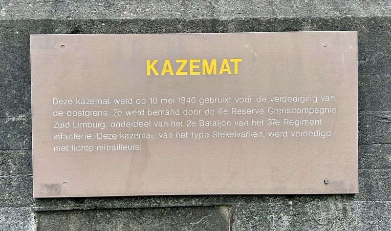
1. Kazemat / Casemate Marker

This casemate was used on May 10, 1940 for the defense of the eastern border. It was manned by the 6th Reserve Border Company South Limburg, part of the 2nd Battalion of the 37th Infantry Regiment. This casemate, of the Porcupine type, was defended with light machine guns.
Topics. This historical marker is listed in these topic lists: Forts and Castles • War, World II. A significant historical date for this entry is May 10, 1940.
Location. 51° 3.309′ N, 5° 51.826′ E. Marker is in Susteren, Limburg, in Echt-Susteren. It is on IJsstraat 0.1 kilometers south of Susterderweg, on the left when traveling south. Touch for map. Marker is in this post office area: Susteren, Limburg 6114 RM, Netherlands. Touch for directions.

Regionally, it is in Europe, the European Union, Atlantic Europe, the Benelux Low
this page online
Other nearby markers. At least 8 other markers are within 14 kilometers of this marker, measured as the crow flies: Grenze? Was soll‘s! / Border? What the heck! (approx. 0.6 kilometers away in Germany); Das Ende des Ersten Weltkrieges errinnert / The End of the First World War Commemorated (approx. 0.6 kilometers away in Germany); Susteren World War II Liberation Memorial (approx. 1.4 kilometers away); Susteren Slachtoffers Tweede Wereldoorlog / Victims of WWII (approx. 1.4 kilometers away); Restaurant “De Lindeboom” (approx. 13.7 kilometers away); Hell on Wheels (approx. 13.8 kilometers away); Hervormde Pastorie / Reformed Parsonage (approx. 13.8 kilometers away); Sinti Monument (approx. 13.8 kilometers away). Touch for a list and map of all markers in Susteren.
Also see . . .
1. Geul-line Casemate 39 (Traces of War). (Submitted on July 14, 2024.)
2. Dutch casemates in May 1940 (War Over Holland). (Submitted on July 14, 2024.)
Photographed by Andrew Ruppenstein, July 14, 2024
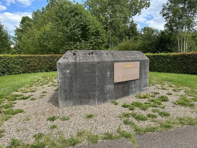
2. Kazemat / Casemate and Marker

Photographed by Andrew Ruppenstein, July 14, 2024
3. Kazemat / Casemate and Marker
Traces of War notes that, “The territorial commander in Southern Limburg constructed two defense lines, namely a border line (4 S-3 casemates) and a delay line (30 S-3 casemates).” This is an S-3 type casemate.
Credits. This page was last revised on July 14, 2024. It was originally submitted on July 14, 2024, by Andrew Ruppenstein of Lamorinda, California. This page has been viewed 124 times since then and 14 times this year. Photos: 1, 2, 3. submitted on July 14, 2024, by Andrew Ruppenstein of Lamorinda, California.
