Cloudcroft in Otero County, New Mexico — The American Mountains (Southwest)
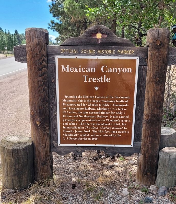
Mexican Canyon Trestle
Official Scenic Historic Marker
Photographed by James Hulse, June 25, 2024
1. Mexican Canyon Trestle Marker
Erected by New Mexico Historic Preservation Division.
Topics. This historical marker is listed in this topic list: Railroads & Streetcars. A significant historical year for this entry is 1947.
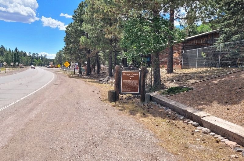
Location. 32° 57.472′ N, 105° 44.16′ W. Marker is in Cloudcroft, New Mexico, in Otero County. It is on James Canyon Highway (U.S. 82) west of Lynx Avenue, on the left when traveling east. The marker is located along the highway next to the Sacramento Mountains Museum. Touch for map. Marker is at or near this postal address: 1000 US-82, Cloudcroft NM 88317, United States of America.
this page online

Regionally, this marker is in the Pecos Valley. It is also in the American Borderlands and in the Southwest. Globally, it is in North America, the Western Hemisphere, the Western World, and the Anglosphere. Historically, it finds itself in what was once New Spain, the Comanchería, and the Republic of Texas.
Other nearby markers. At least 8 other markers are within walking distance of this marker: Mescalero Baseball Game, ca. 1910 (approx. 0.3 miles away); Texas Hotel (approx. 0.4 miles away); Burro Avenue • 1903 (approx. 0.4 miles away); Burro Avenue in 1932 (approx. 0.4 miles away); From the Ashes (approx. 0.4 miles away); Old Lodge (approx. half a mile away); Casino & Land Office (approx. half a mile away); The Pavilion - A Magical Place (approx. half a mile away). Touch for a list and map of all markers in Cloudcroft.
Also see . . .
1. Mexican Canyon Trestle. Wikipedia
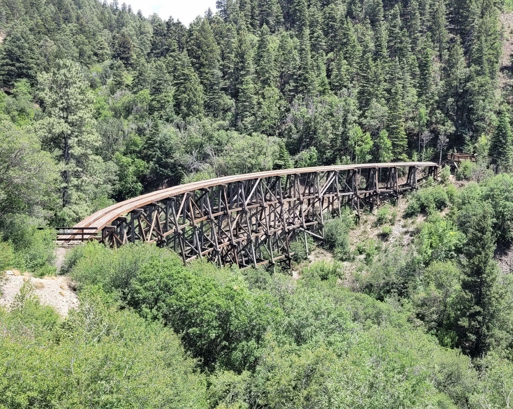
Mexican Canyon Trestle is a historic wooden trestle bridge in New Mexico's Sacramento Mountains, Otero County, New Mexico, just outside Cloudcroft, New Mexico. It was listed on the National Register of Historic Places in(Submitted on July 14, 2024, by James Hulse of Medina, Texas.)1979.Photographed by James Hulse, June 25, 20242. Mexican Canyon Trestle Marker - Reverse Side
It is located about .5 miles (0.80 km) northwest of Cloudcroft off US 82. It can be seen from a viewpoint, off the highway, with a historical plaque describing "The Cloud Climbing Railroad".
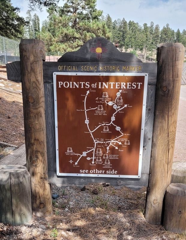
2. Mexican Canyon Trestle: An Engineering Marvel. US Forest Service
Railroads came to southern New Mexico in 1897 when Charles Eddy began building a line for his El Paso and Northeastern Railway Company northwards from El Paso in hopes of ultimately joining the Rock Island Railroad line, which was then installing track across Kansas.(Submitted on July 16, 2024, by James Hulse of Medina, Texas.)
By June of 1898, Eddy reached what is now Alamogordo, a town he founded and headquarters for Eddy’s rail company. One of two railroad lines built by Eddy included the newly created Alamogordo & Sacramento Mountains Railway, which was constructed eastward into the Sacramento Mountains to Cloudcroft, a town founded by Eddy in 1899, and beyond. The line carried millions of board feet of lumber out of the mountains between 1898 and 1938. Vacationers boarded the railway during the summer months from 1900 to 1930. The Village of Cloudcroft,located at over 8000 feet, became a popular destination for El Pasoans who wished to escape the summer heat.Photographed by James Hulse, June 25, 20243. The view of the Mexican Canyon Trestle Marker along the highway
Photographed by James Hulse, June 25, 2024
4. Mexican Canyon Trestle
The Mexican Canyon Trestle is located on the west approach to Cloudcroft.
Credits. This page was last revised on July 16, 2024. It was originally submitted on July 14, 2024, by James Hulse of Medina, Texas. This page has been viewed 603 times since then and 148 times this year. Photos: 1, 2, 3, 4. submitted on July 14, 2024, by James Hulse of Medina, Texas.
