Harvard in Clay County, Nebraska — The American Midwest (Upper Plains)
Harvard Army Air Field
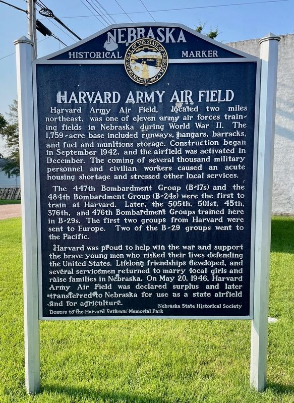
Photographed by Mark Hilton, July 11, 2024
1. Harvard Army Air Field Marker
The 447th Bombardment Group (B-17s) and the 484th Bombardment Group (B-24s) were the first to train at Harvard. Later, the 505th, 501st, 45th, 376th, and 476th Bombardment Groups trained here in B-29s. The first two groups from Harvard were sent to Europe. Two of the B-29 groups went to the Pacific.
Harvard was proud to help win the war and support the brave young men who risked their lives defending the United States. Lifelong friendships developed, and several servicemen returned to marry local girls and raise families in Nebraska. On May 20, 1946, Harvard Army Air Field was declared surplus and later transferred to Nebraska for use as a state airfield and for agriculture.
Erected by Nebraska
this page online
Topics and series. This historical marker is listed in these topic lists: Air & Space • War, World II. In addition, it is included in the Nebraska State Historical Society series list. A significant historical date for this entry is May 20, 1946.
Location. 40° 37.131′ N, 98° 5.799′ W. Marker is in Harvard, Nebraska, in Clay County. It is on East Walnut Street east of North Clay Avenue, on the right when traveling east. Touch for map. Marker is in this post office area: Harvard NE 68944, United States of America. Touch for directions.

Regionally, this marker is in the Smoky Hills and in Eastern Nebraska. It is also in the American Midwest, in the Corn Belt, and on the prairies. Globally, it is in North America, the Western Hemisphere, the Western World, and the Anglosphere. Historically, it finds itself in what was once the Louisiana Purchase.
Other nearby markers. At least 8 other markers are within 7 miles of this marker, measured as the crow flies: Midair Collision of B-17 Bombers (here, next to this marker); Harvard Veterans Memorial

Photographed by Mark Hilton, July 11, 2024
2. Harvard Army Air Field Marker on right.
Also see . . . History & photos of the Harvard Army Air Field. (Submitted on July 14, 2024, by Mark Hilton of Montgomery, Alabama.)
Credits. This page was last revised on July 14, 2024. It was originally submitted on July 14, 2024, by Mark Hilton of Montgomery, Alabama. This page has been viewed 325 times since then and 60 times this year. Photos: 1, 2. submitted on July 14, 2024, by Mark Hilton of Montgomery, Alabama.
